


Ruts and Waterfalls
Some we won, some we lost…
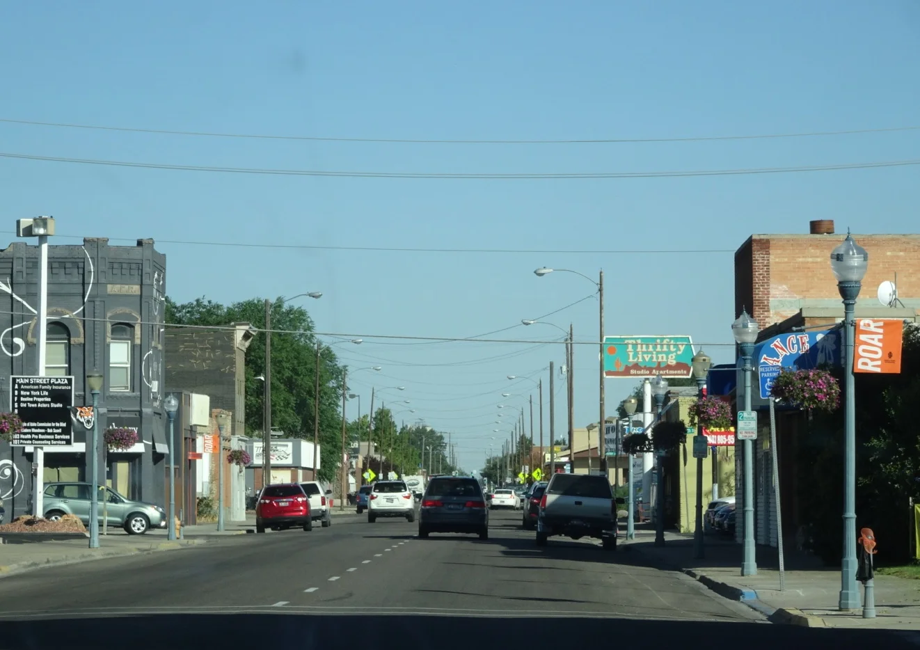
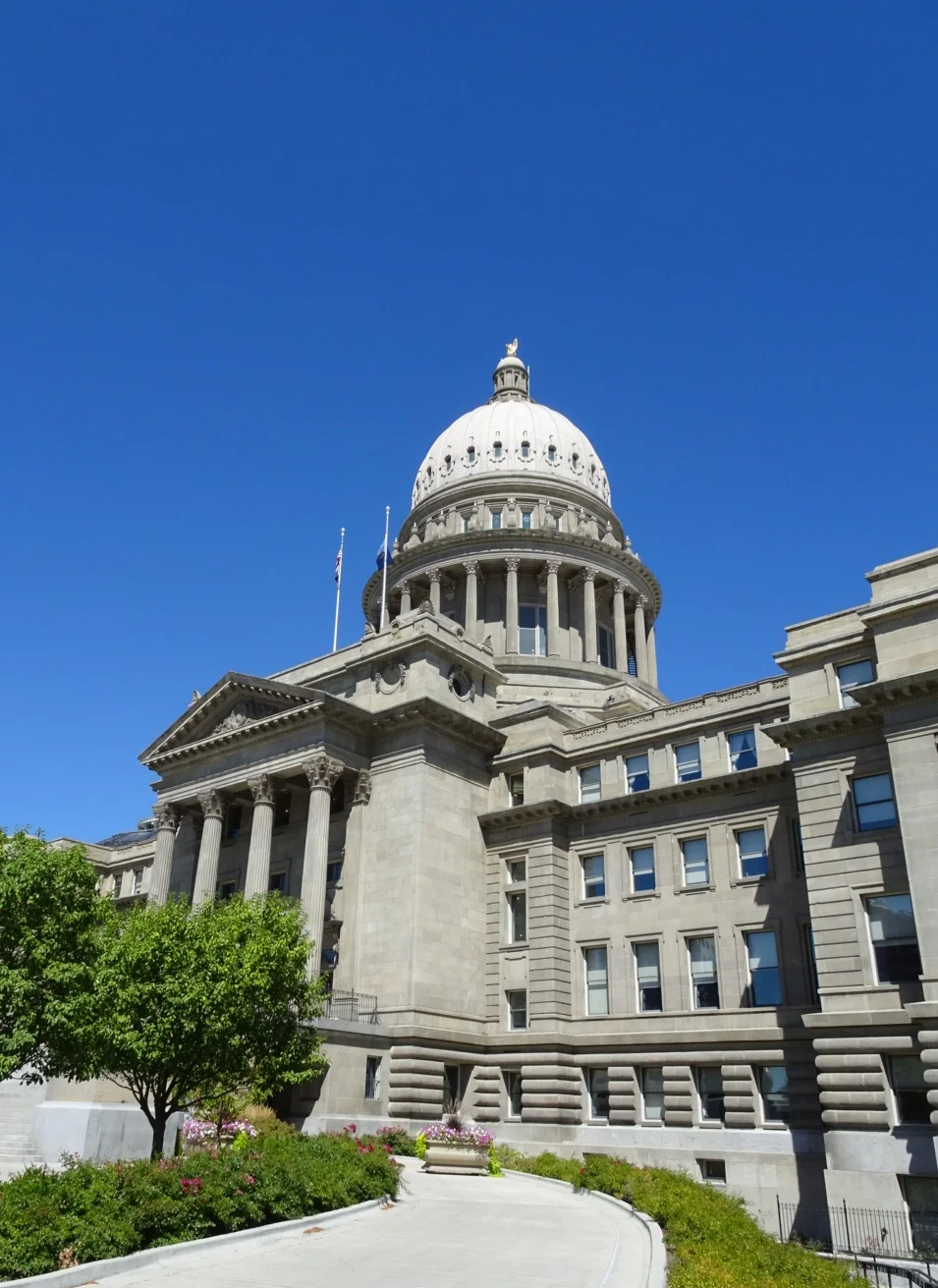
We took a little look around historic Pocatello this morning, finding it to be a surprisingly pleasant and well-preserved place and not at all the industrial scene we imagined.
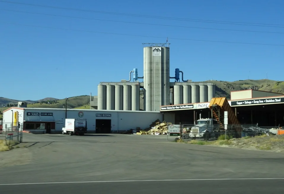
Though actually, as we headed out to the interstate, that industrial vibe wasn’t that far away.
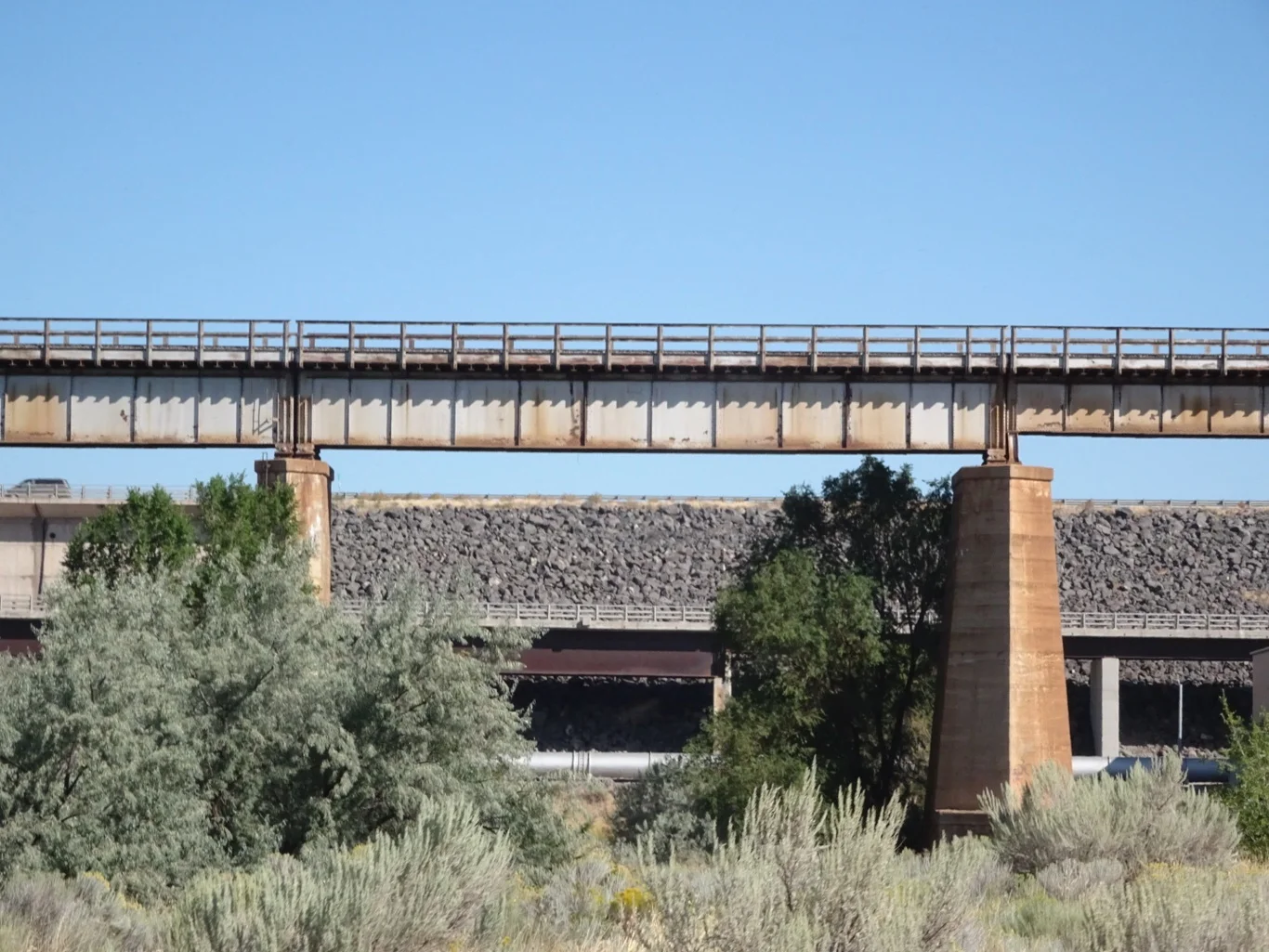
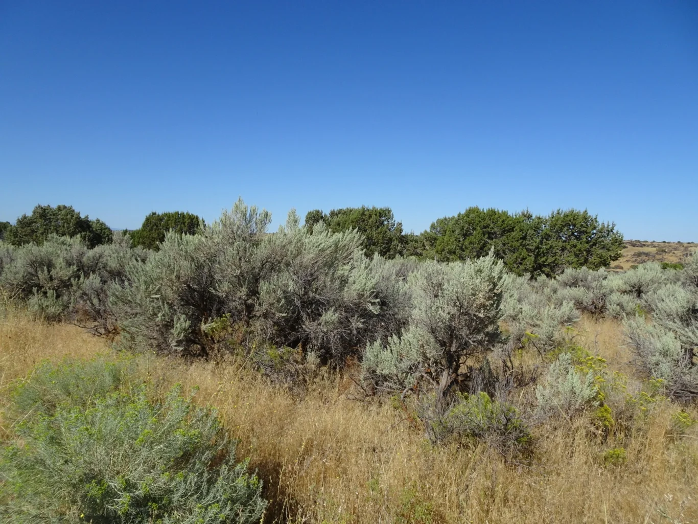
Our first stop was American Falls. When we’d identified places to visit along the route, the mental picture of a waterfall was of a rural setting - and yet, here we were in the midst of a built up urban environment.
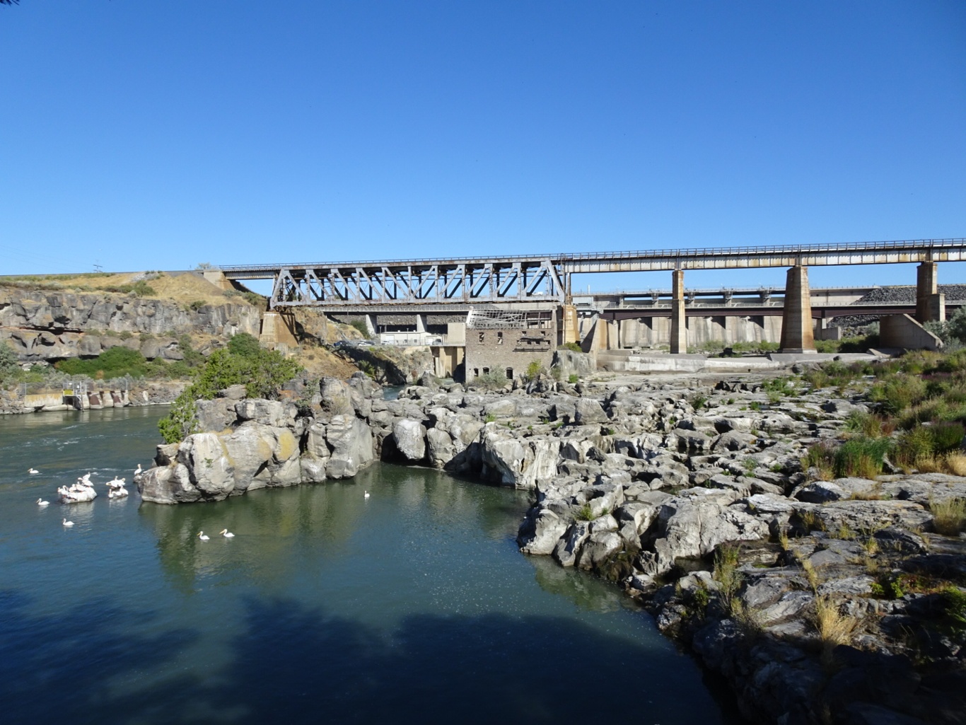
As for the falls, well, as the river was running too low, there were none.
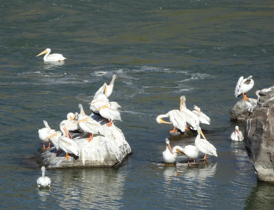
There were plenty of pelicans.
But there was no waterfall and given that was to be the focus of our visit -well, time to move on.
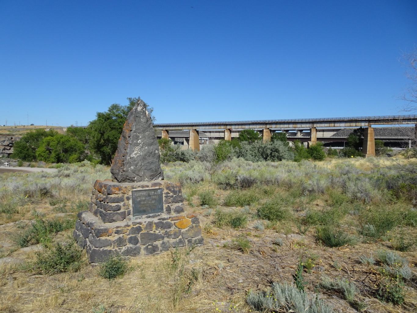
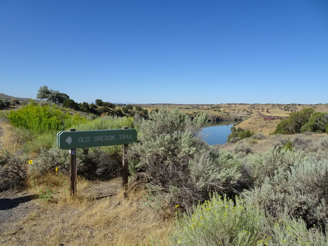
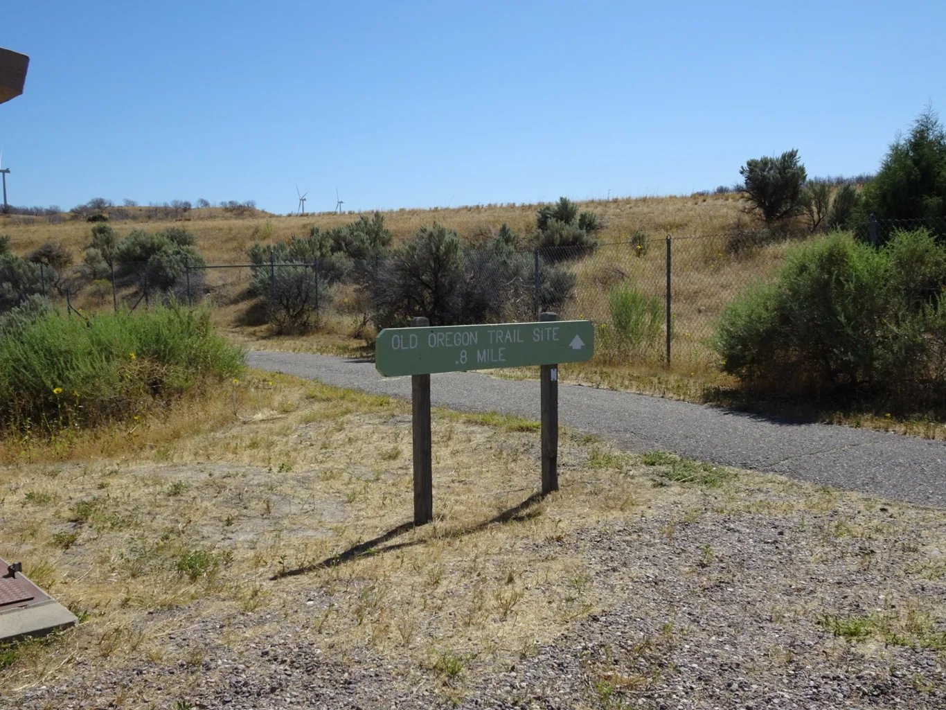
Taking note of the Oregon Trail monument, we jumped back in the car and headed for the next destination on our list. Our directions said to leave the Interstate at the rest stop at milepost 31 and head straight through the rest area and follow the loop road to the kiosk.
What?
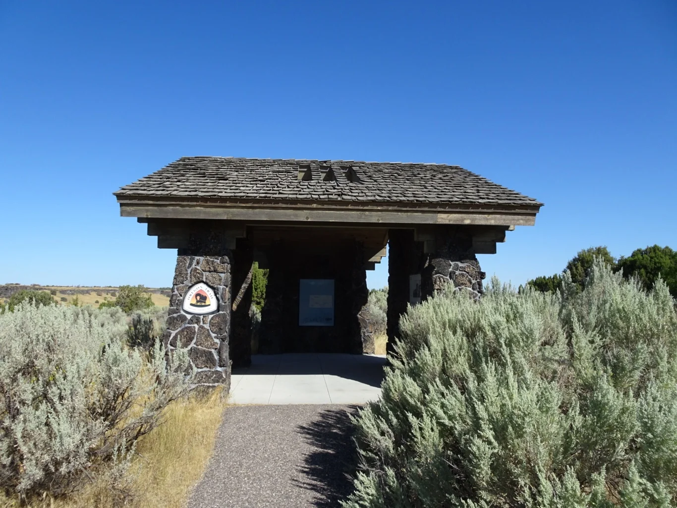
It was one of those situations where it all became clear once we got there. We spotted the kiosk and the familar trail sign there confirmed we were in the right place.
Our guide advised of a half-mile walk to the trail, taking a pathway underneath both carriageways of the interstate. Ok. We can do this!
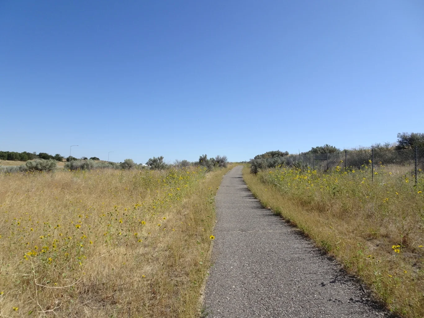
It was a clear and easy pathway to follow, well tended and the occasional sign confirmed we were on the right track.
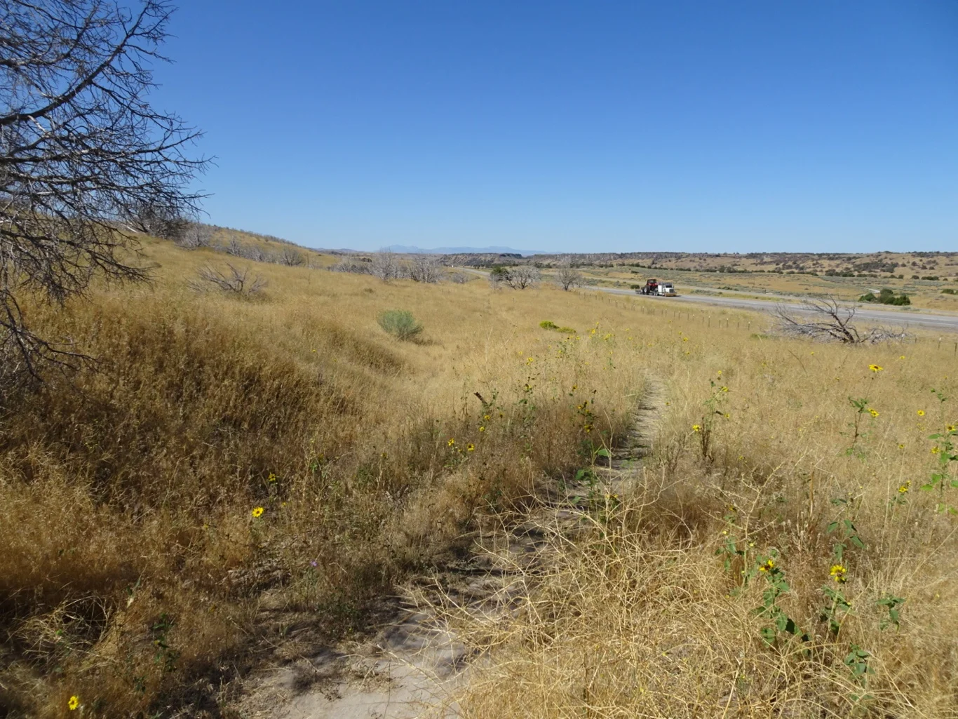
I think we all agreed, it was more than a half mile. Firstly, there was the tunnel under the first carriageway, then a huge hairpin bend on the central reservation to avoid a steep climb to the next tunnel, underneath the other carriageway. It was fine - it seemed churlish to complain of the lengthy trek when our goal was to see the tracks made by the wagons of people who would have walked this far in a heatbeat.
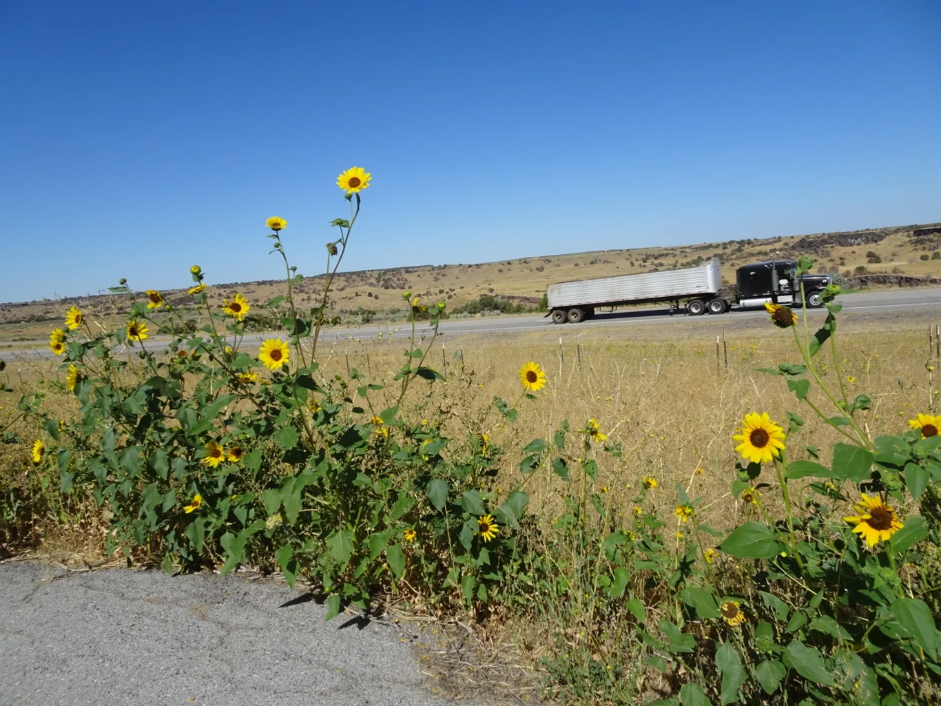
There was also the passing traffic to entertain us!
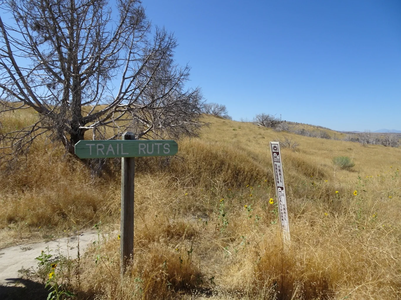
On reaching the ruts, however, all was worthwhile. Here we stood looking at a clear pathway in the field; evidence of all of those wheels that had rolled through here.
It was another of those strange juxtapositions - the Interstate had been built over some of the tracks, but here we were looking at both historic and contemporary means of travel. In less than two centuries, how life has changed.
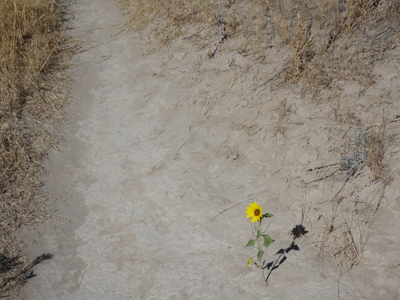
I couldn’t resist taking a photograph of the single flower growing through the trail. We made our way back though both tunnels and only now do I realise that I didn’t take one of either tunnel on the way there or on the way back. Truth be told, I kept my head down and focused on my feet - I had spotted a bird flying into the tunnel and a couple of nests in there…that was enough to give me the wotsits and I was very glad to have Mary and my hero by my side!
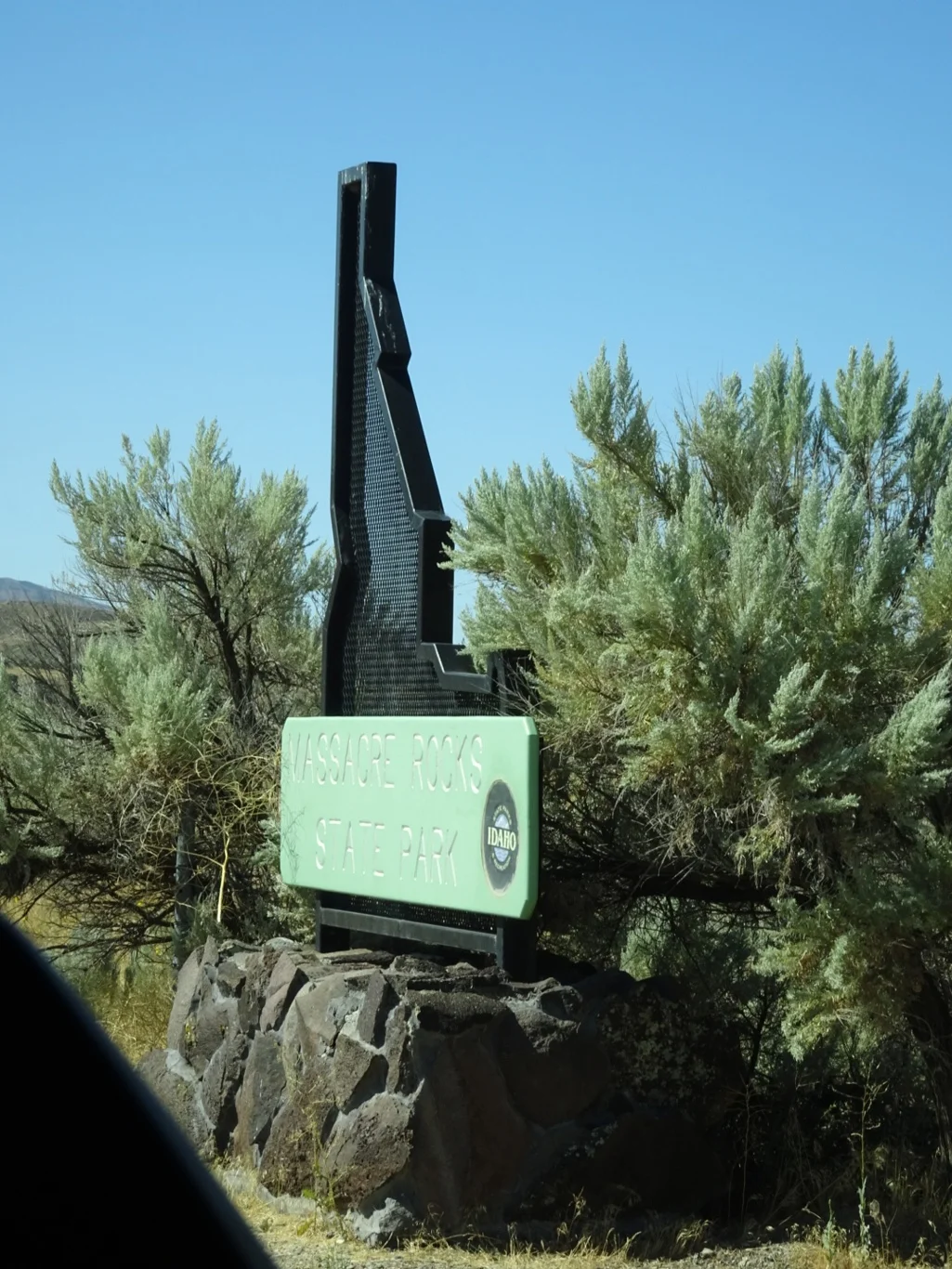
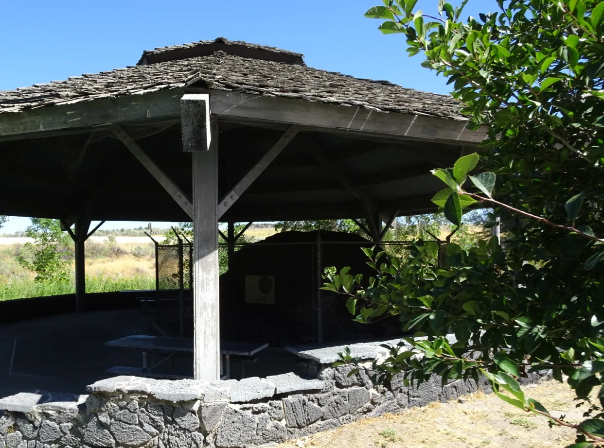
Our next stop was a few miles further along: The Massacre Rocks State Park was another site where ruts were to be found and flushed with the success of the morning so far, we headed right into the welcome centre to find out more.
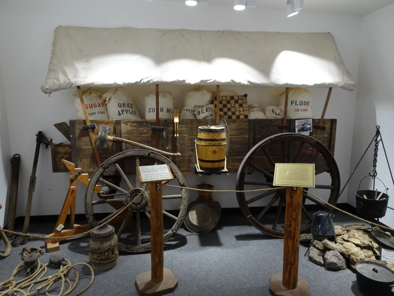
We found a cheery ranger there and a couple of interesting displays.
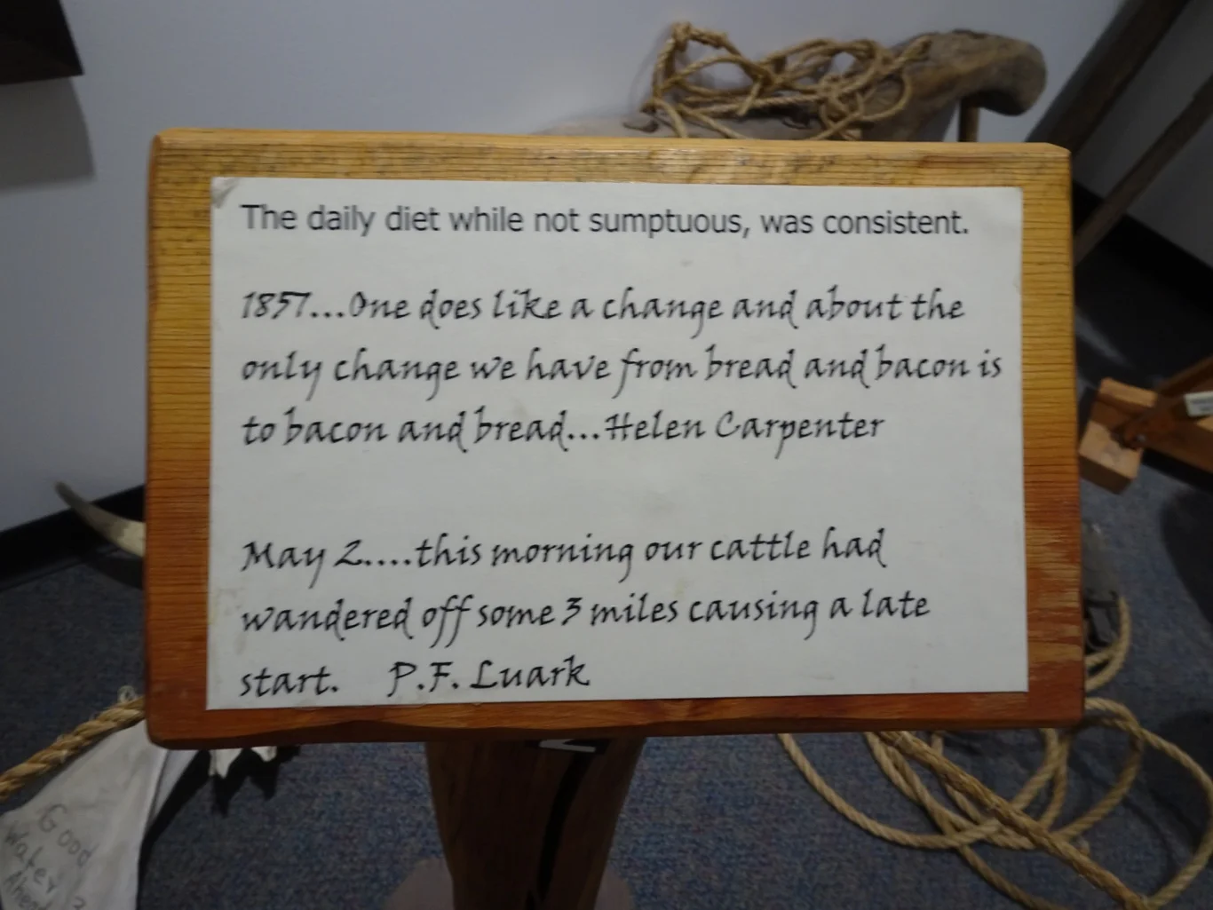
However many times we read of the hardships of the pioneers, the direct quotes are always the most moving.
It was a simple but effective display, but most interesting of all was a copy of an original diary, written by Jane Gould who travelled the trail in 1862.
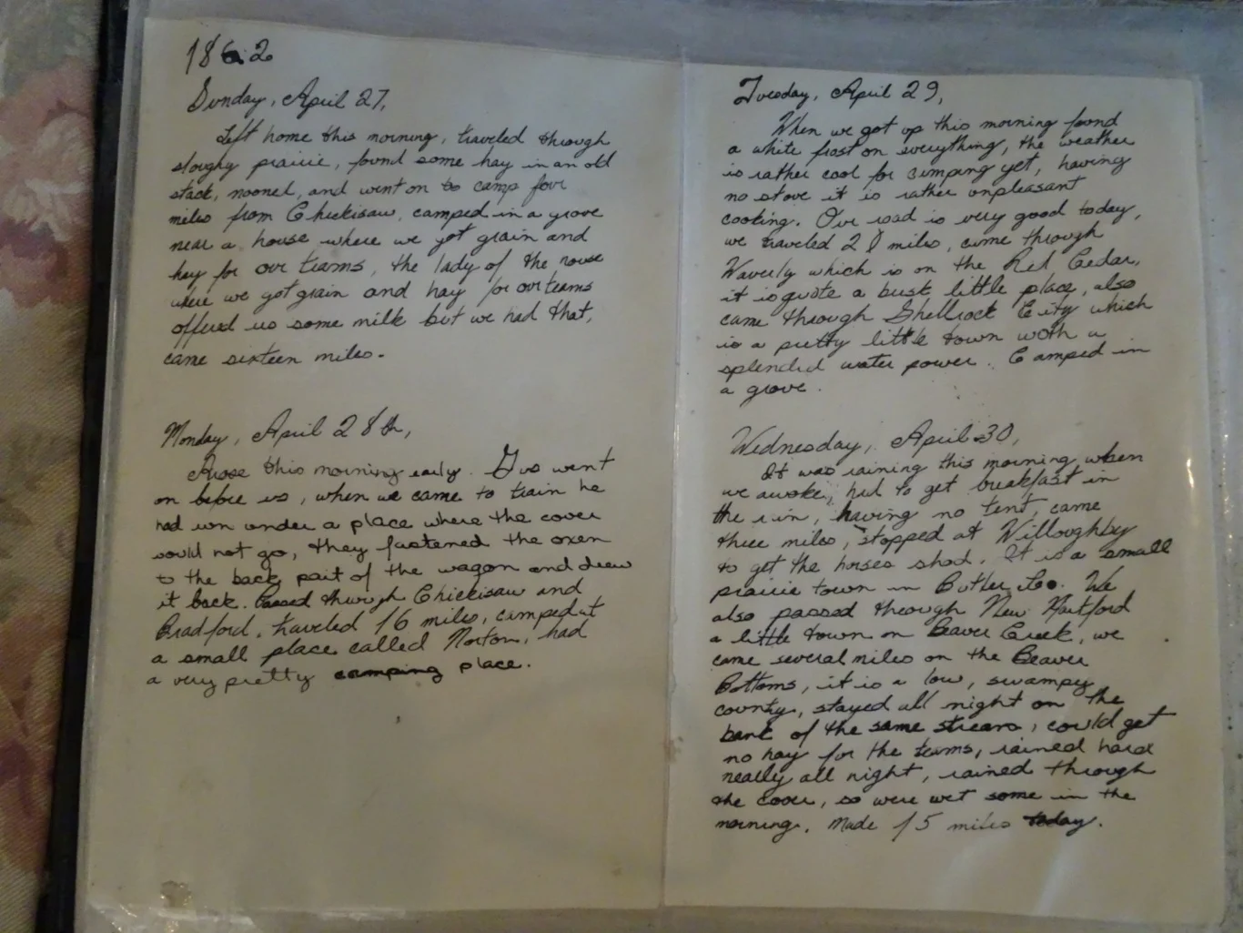
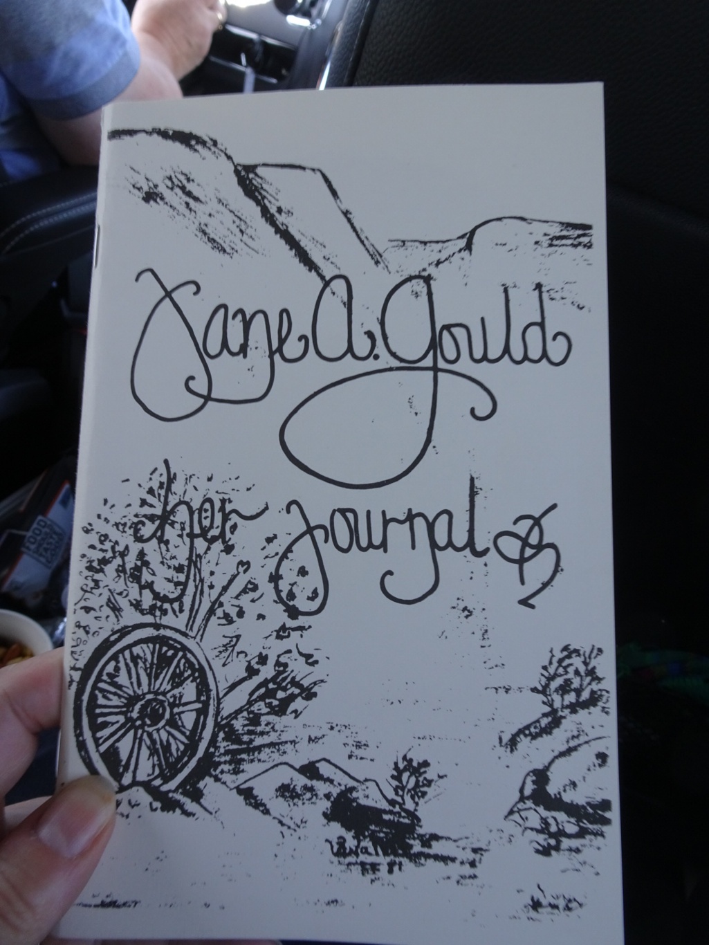
As we left, I spotted a transcription of the diary on sale, so made a purchase and have been dipping in to read chapters all day.
We found the way to the far edge of the park, from where a pathway similar to the one we’d just used led to the ruts. We began to walk…
We had gone a short way when one of us spotted the tunnel under the interstate. Hmm. Did we want to make a similar trek as the last one? (I think you can guess my feeling about walking through another couple of tunnels!) Feeling ever so slightly bad about copping out like that, we turned around and returned to the car.
There was one more thing to see in this park, though we needed to drive to it. Register Rock was another of those milestones for the pioneers and they carved their names in it, much the same as at Register Cliff and Independence Rock. But here, part of the rock had been brought in under cover and fenced off to protect it.
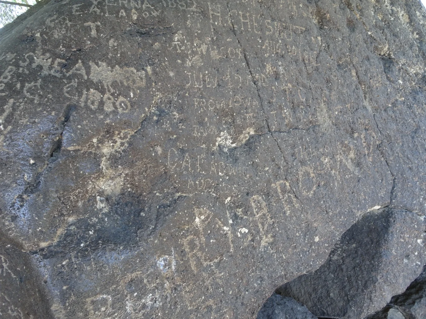
So here, the names were clear to see.
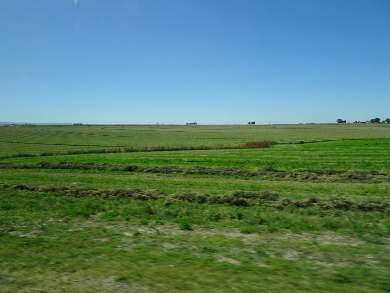
Back on the Idaho Interstate, driving through the agricultural scenery, we headed for one more set of ruts: The Milner Ruts.
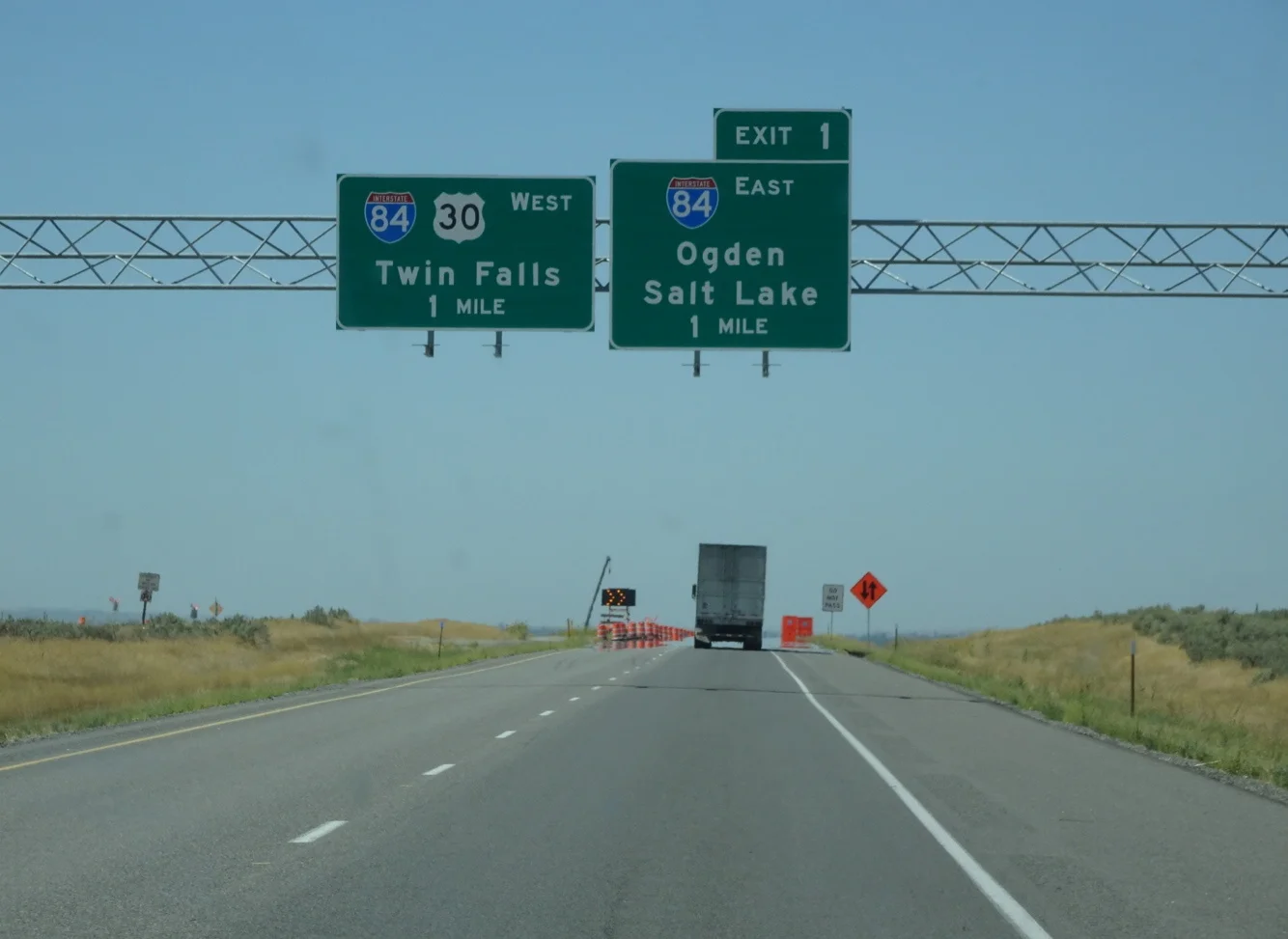
Our ultimate destination today was to be Twin Falls, but there ahead were some road works which sent us on a diversion
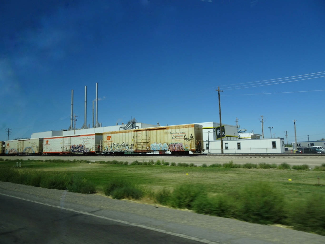
past the most enormous McCain factory with a dedicated railroad depot alongside. Well, we are in Idaho after all!
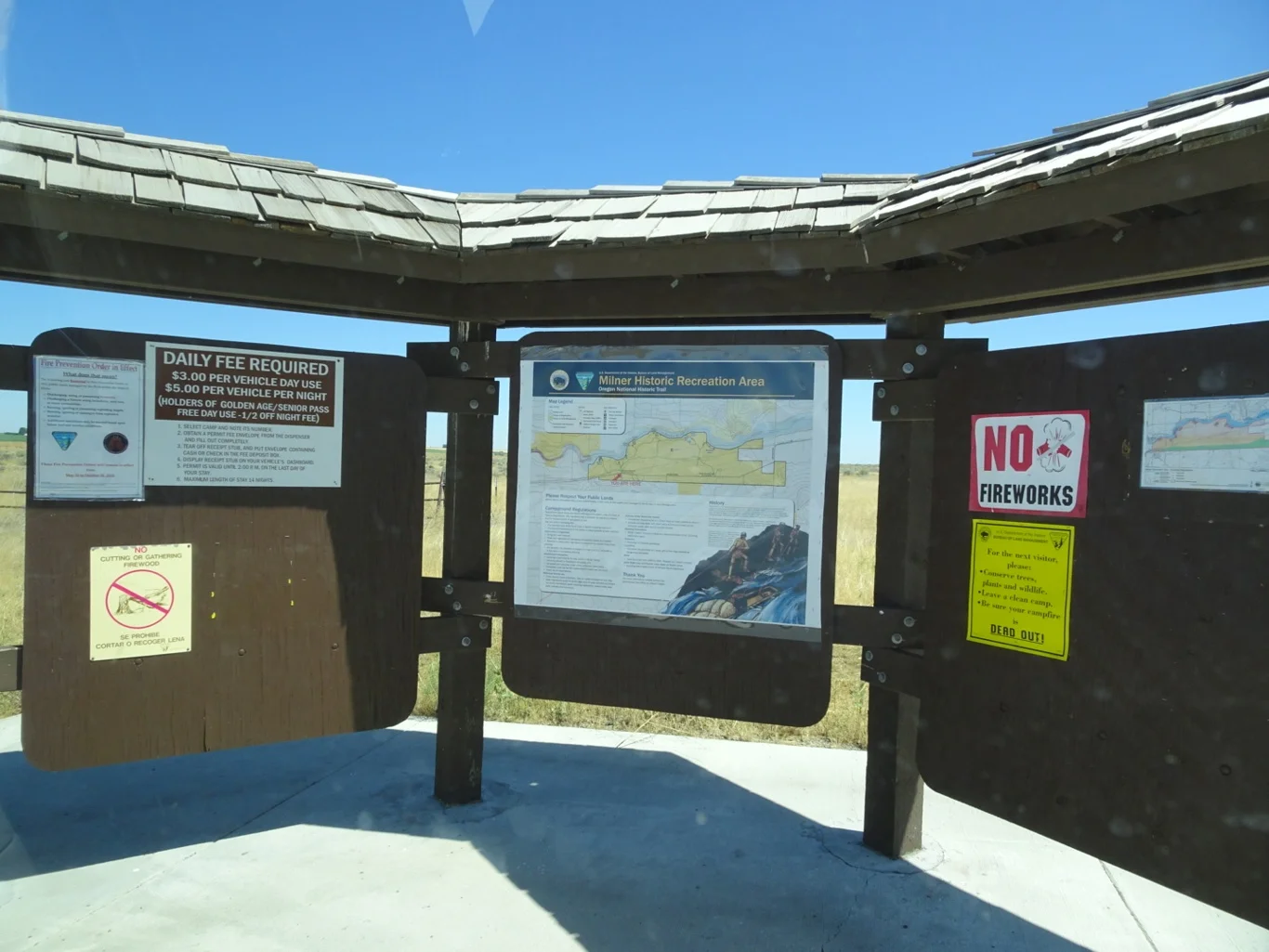
Eventually, we found our way to the entrance to the park - but confusingly, it also appeared to be a landfill site! With only the one basic map here on the board, we needed all our determination to find where we needed to be.
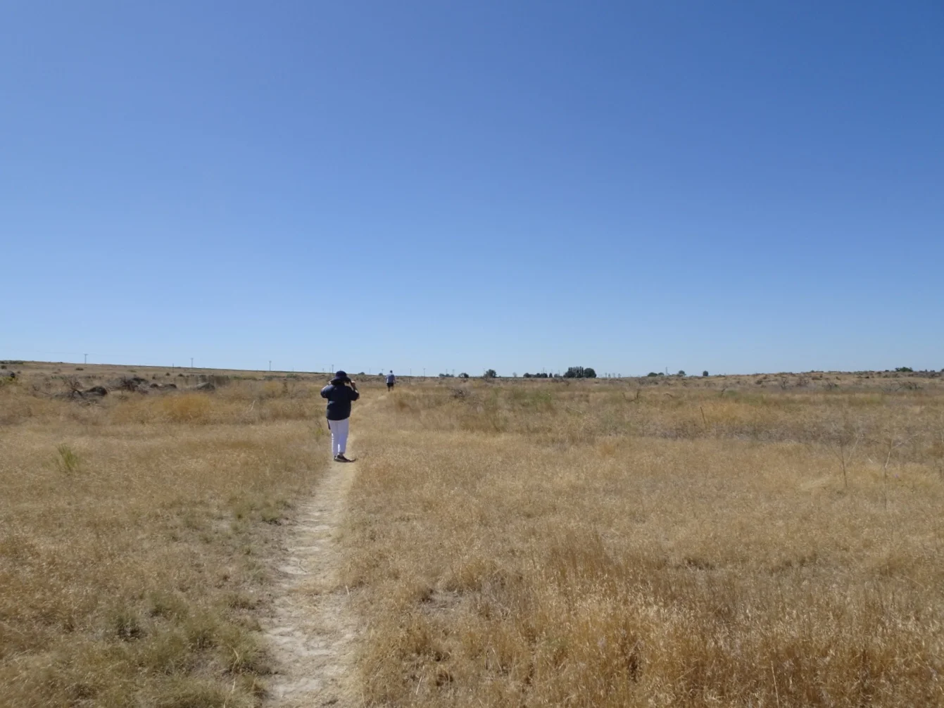
Eventually, we found the path!
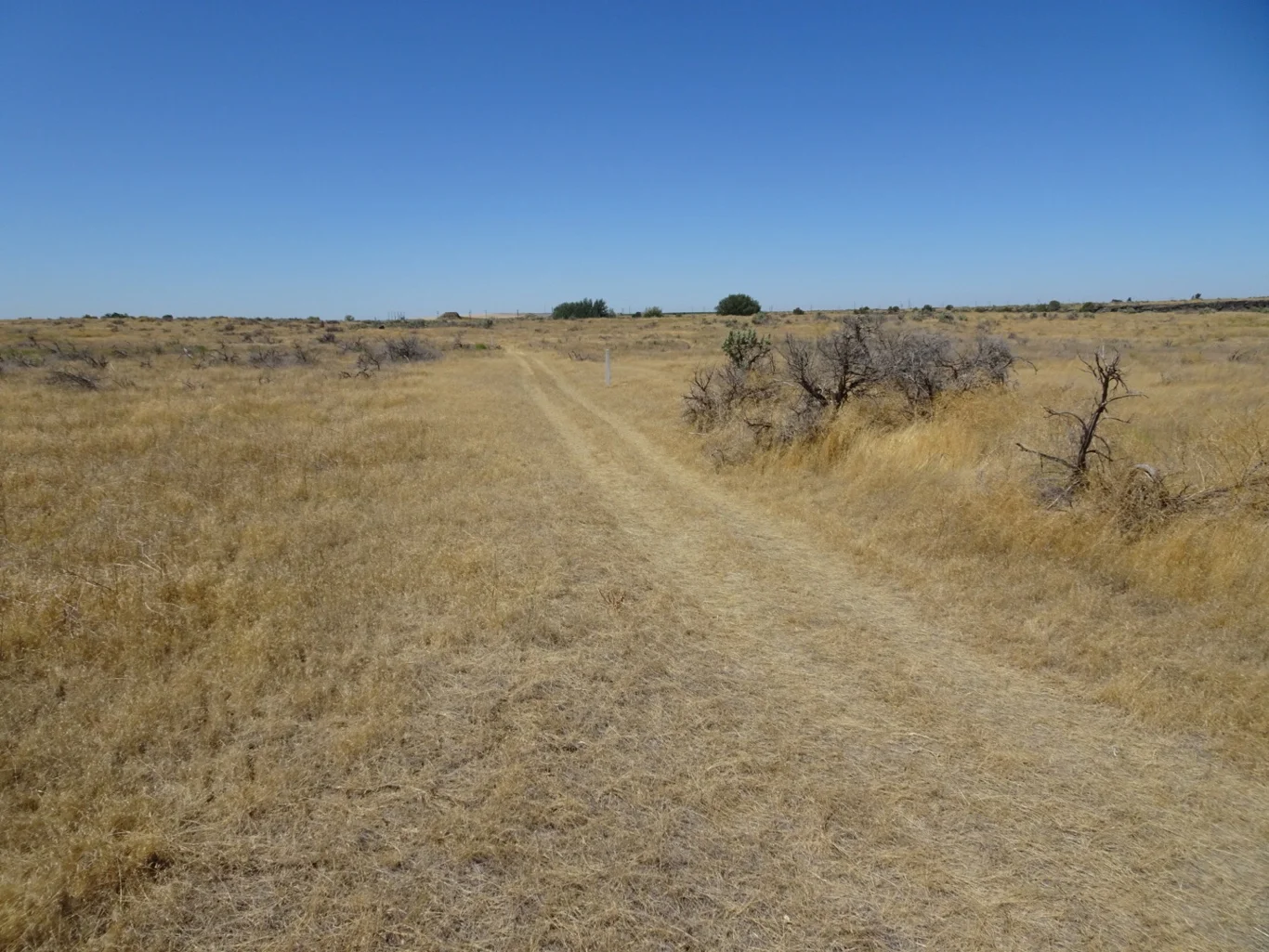
At the end of the path - there were the ruts. Marked with the now-familiar trail markers, we needed to go no further!
Agreeing that we were all “rutted out” for the day, it was time to head on straight to Twin Falls in the hope that there might be a bit more water in the Shoshone Falls to make it worthwhile paying a visit.
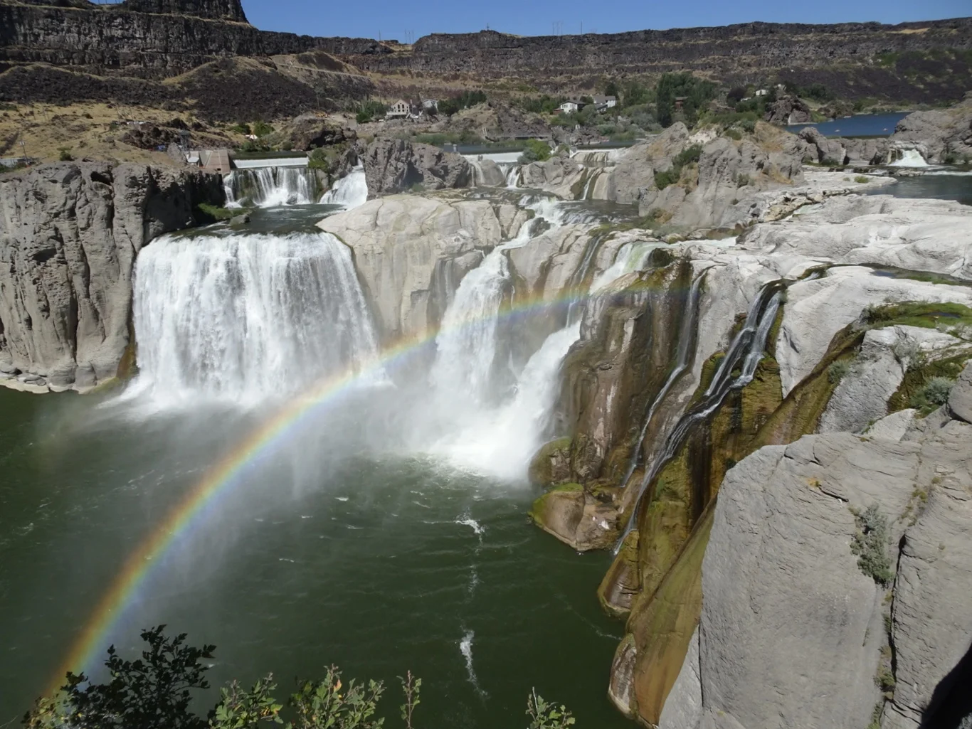
We needn’t have worried. There was even a rainbow as a bonus!
So here we are in Twin Falls tonight. It’s a fairly ordinary American city with all the familiar names along the roadside. But heading out for dinner tonight, we realised what sets Twin Falls apart.
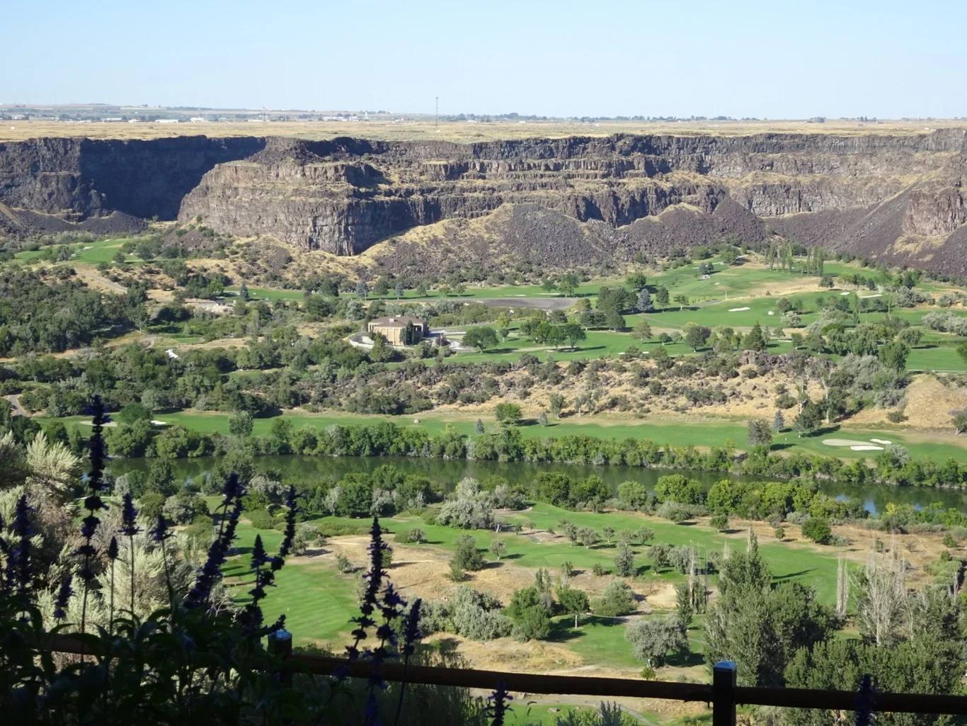
The restaurant wasn’t called Elevation 486 for nothing! The city is high above the Snake River Canyon and we chose an outside table overlooking the wide canyon floor.
It’s the last day of our Road Trip tomorrow, but happily, not the last day of our holiday!