


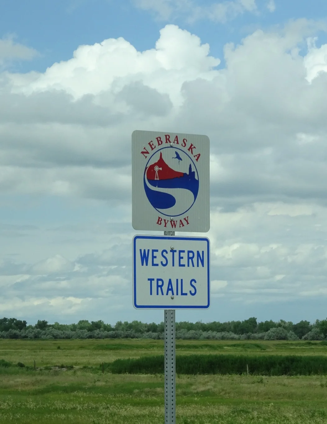
Along the Nebraska Byways
We woke to interesting skies and a very wet outlook, but by the time we'd had breakfast and were out of the door, the sun was breaking through.
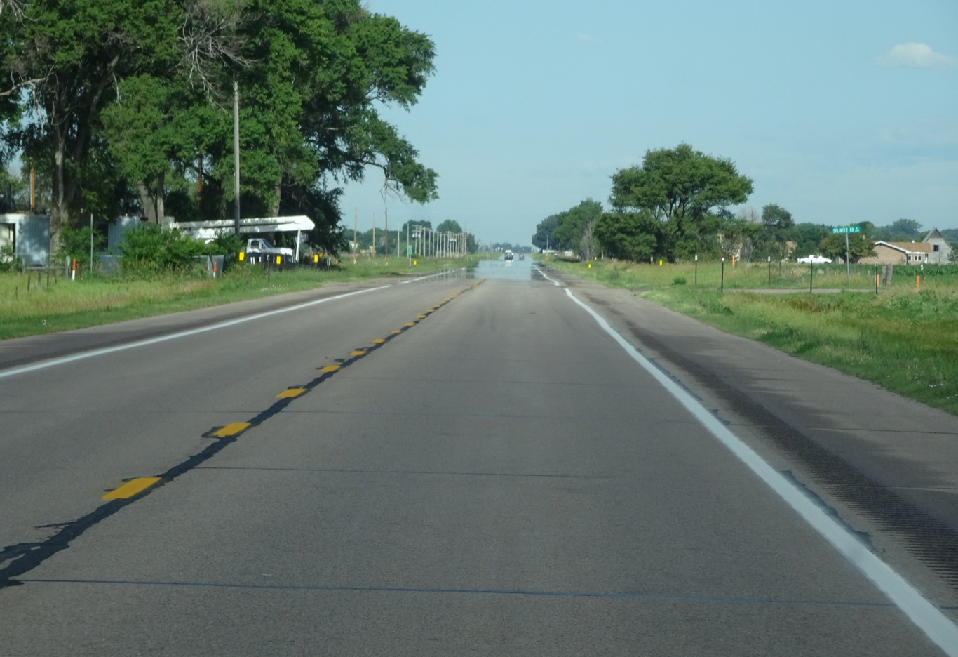
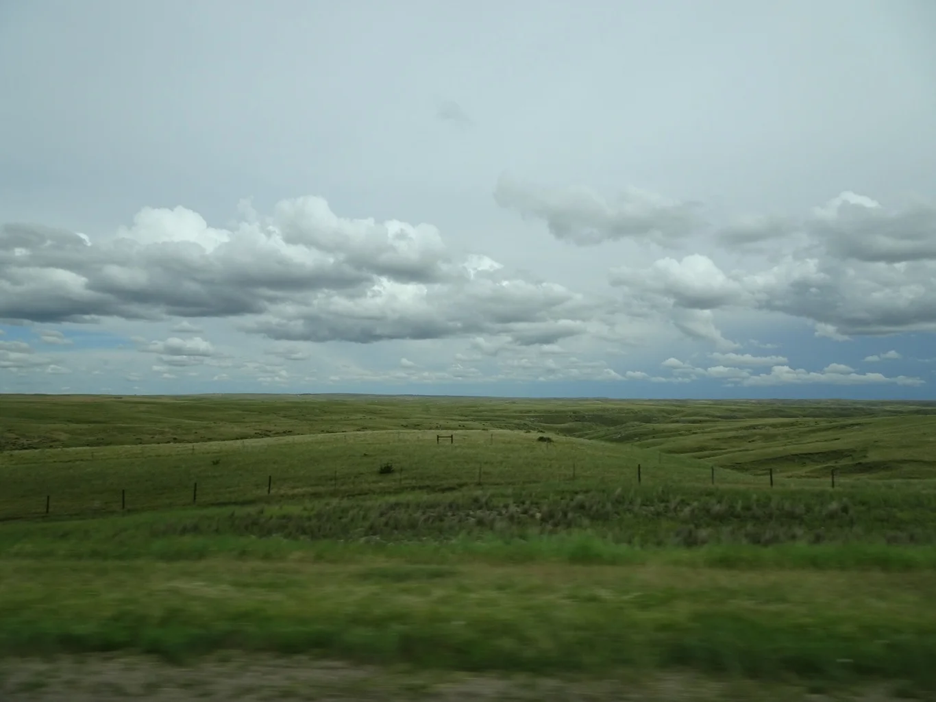
Out on a typical road trip road, actually the Lincoln Highway, the first road across America.
We are in search of ruts, somewhere near Sutherland but the road is closed and we have to take a bit of a detour.
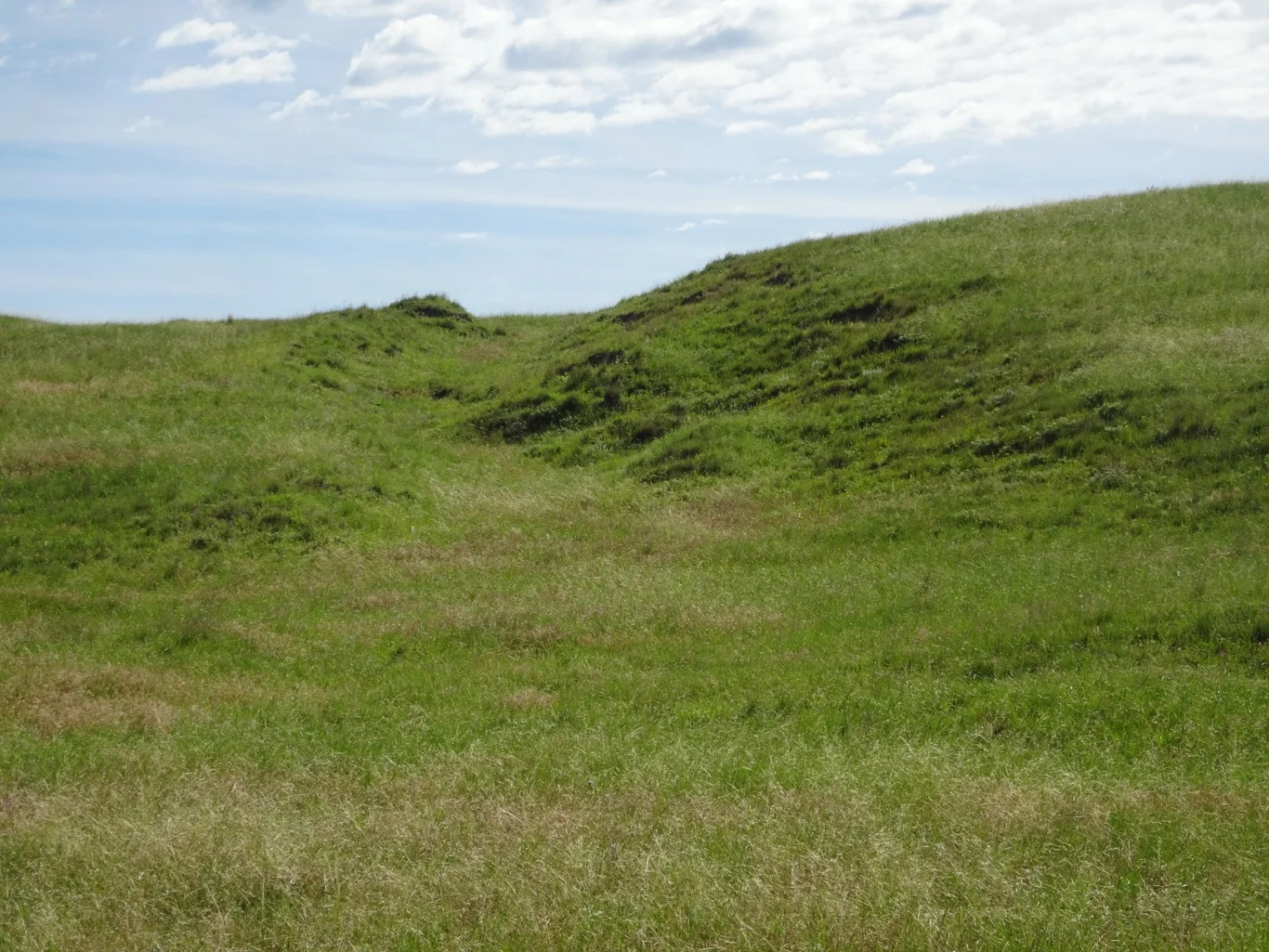
There they were. I am becoming rather fond of these quiet places in the middle of nowhere, where it's clear to see the route taken by so many and yet today the place is peaceful with only the sound of the birdsong to hear.
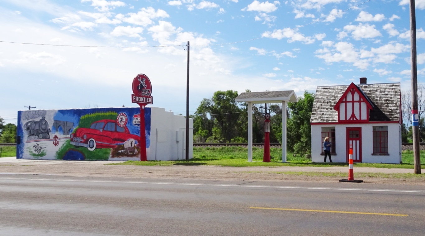
Back on the Lincoln Highway, we screeched to a halt when I spotted this quaint old service station.
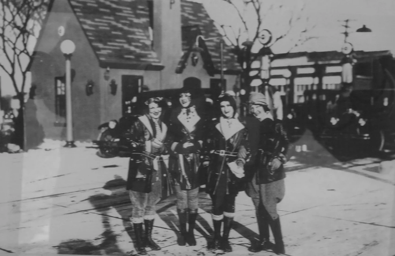
There were a few cute photographs displayed in the building there, too.

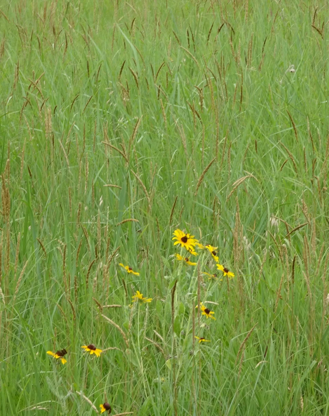
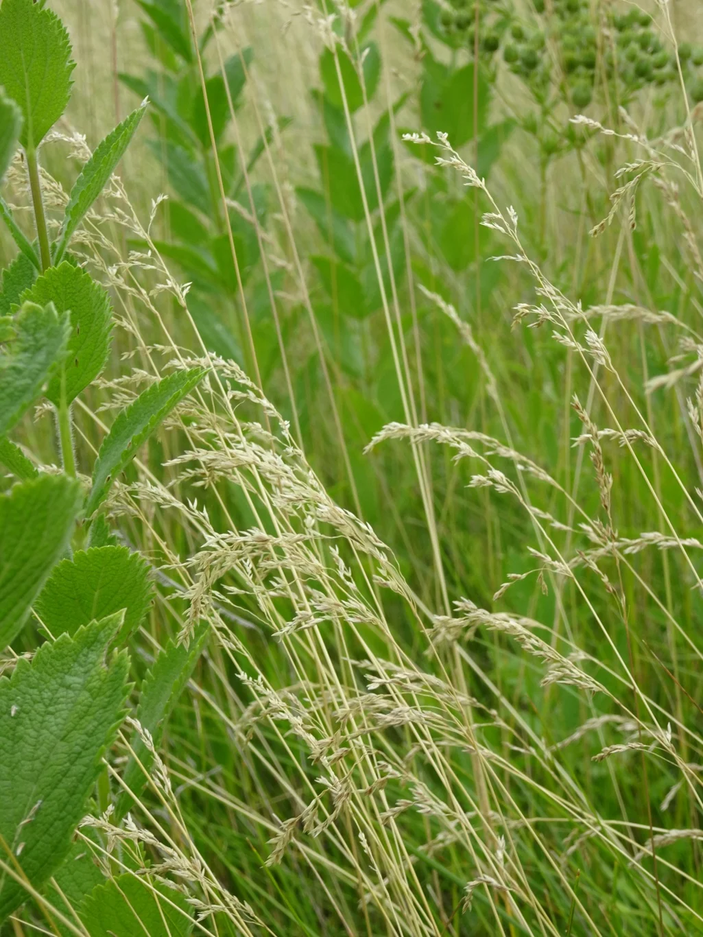
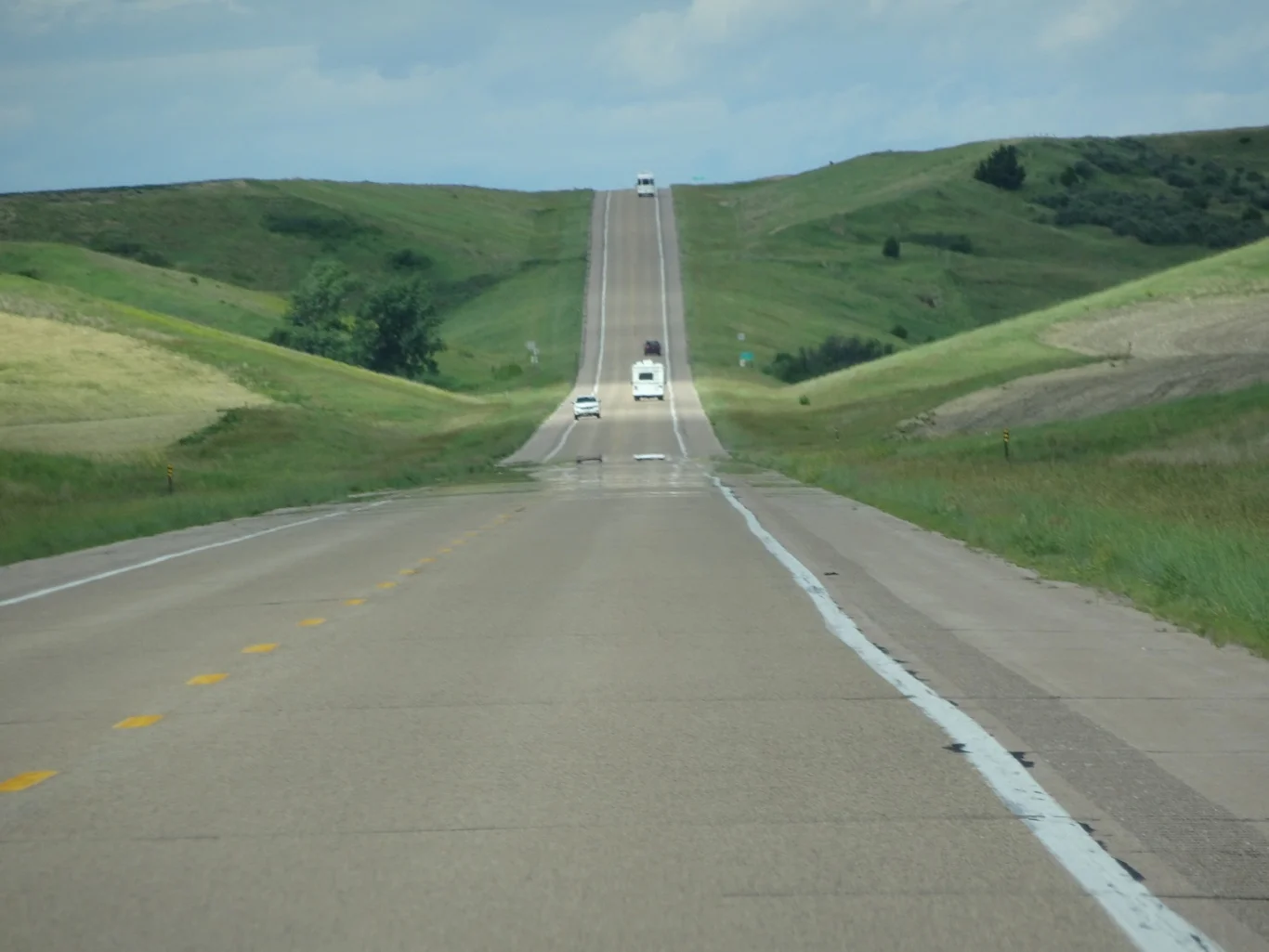
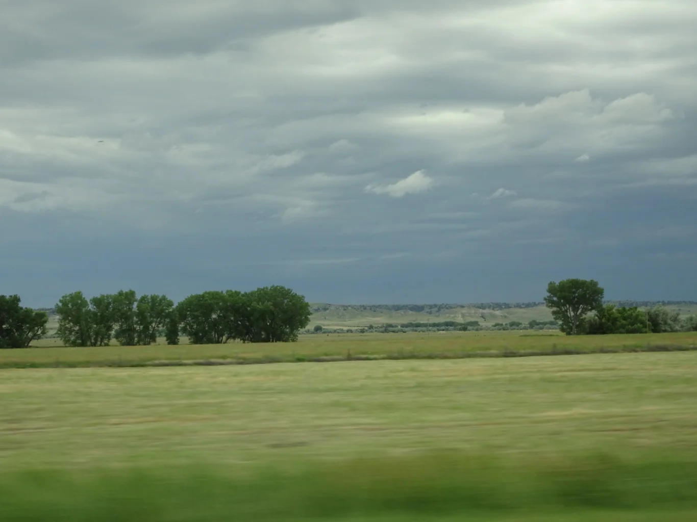
Aaah, Nebraska. Wide open spaces and big skies.

Sometime, somewhere along the road, we spotted a shift in time on our satnav. Without knowing it, we'd gone from Central Standard time to Mountain time and gained an hour. Nice!
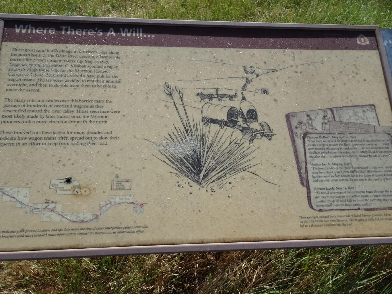
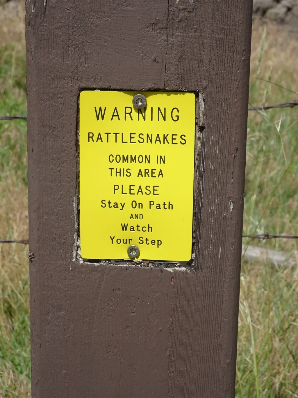
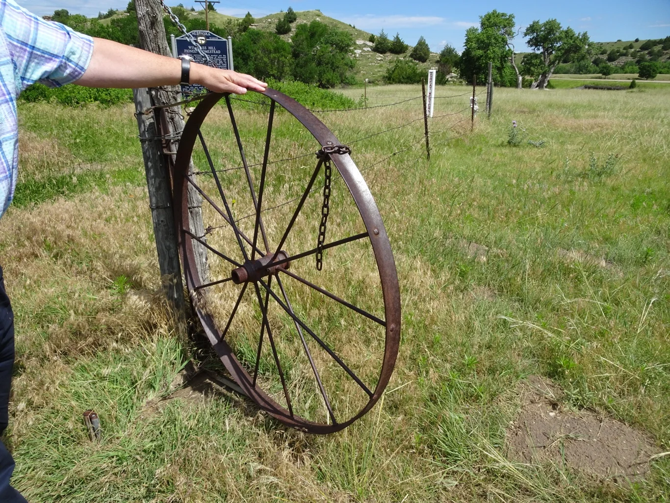
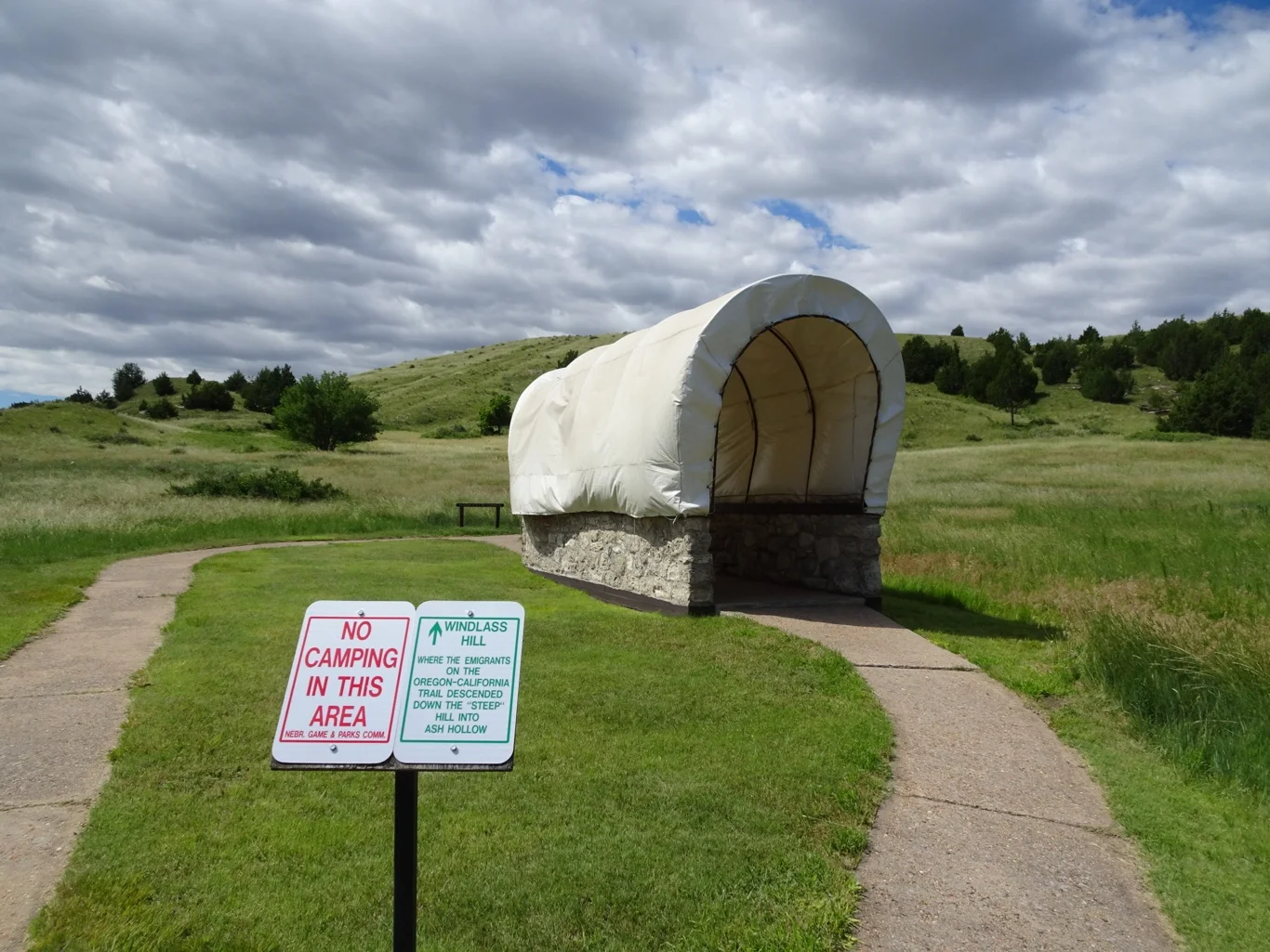
We were into the Sand hills now, on track to Ash Hollow, about which I had read vivid accounts of the frightening process of getting the wagons down a very steep ravine.
We faced our own fears but soldiered on bravely.
Through a curious gate into the Windlass Hill State Park area.
The information panels were housed in a neat setting, protected from the heat and rain.
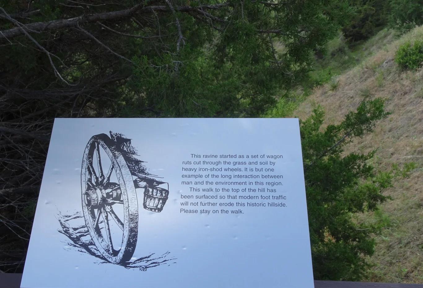
Along the pathway and over a bridge where an informative panel explained what was what.
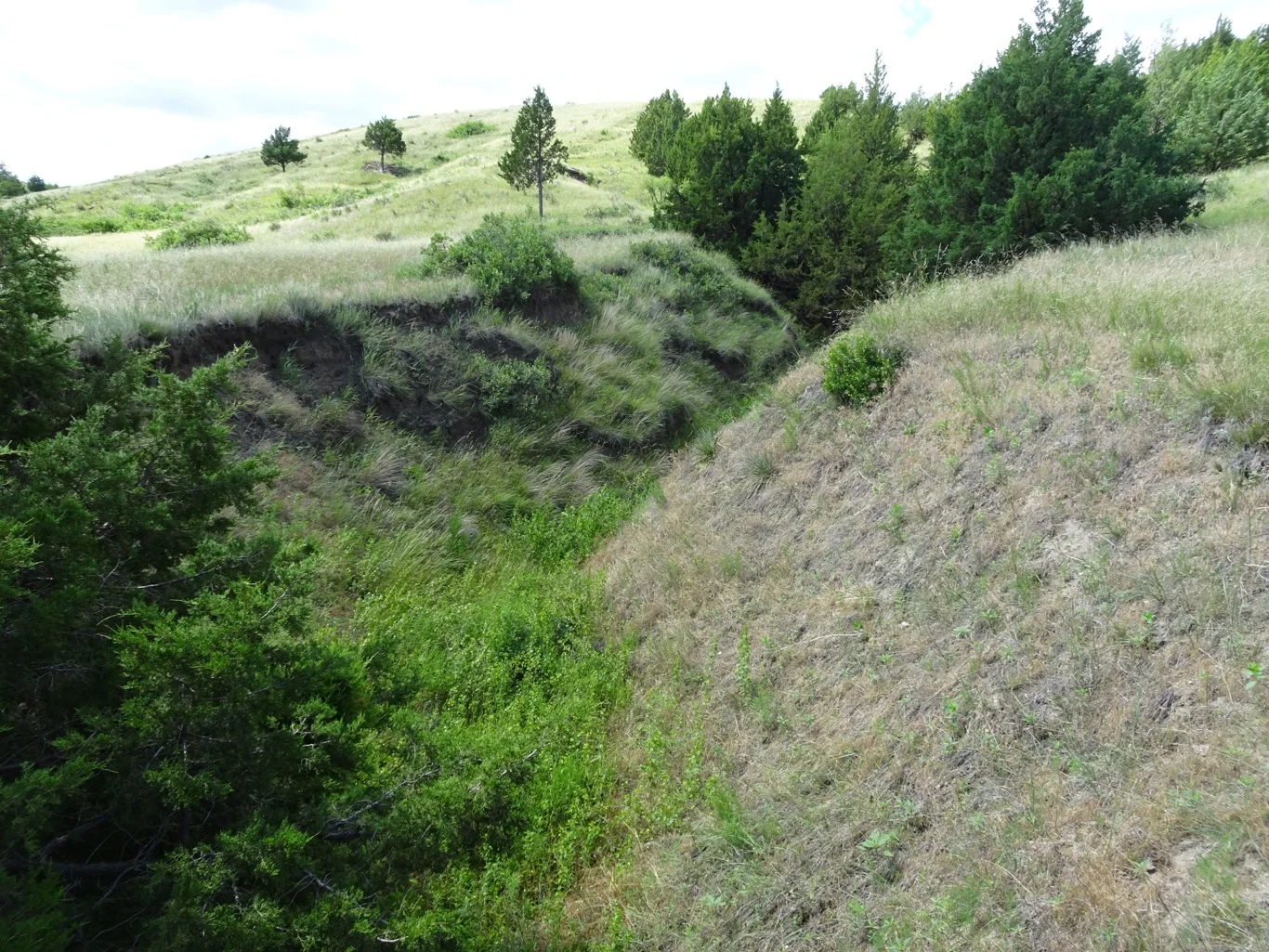
It's hard to imagine that ravine had been worn away by all those wheels, but later on we saw an aerial photograph taken some years ago with rather less vegetation and it was so much clearer. No wonder those people were so scared.
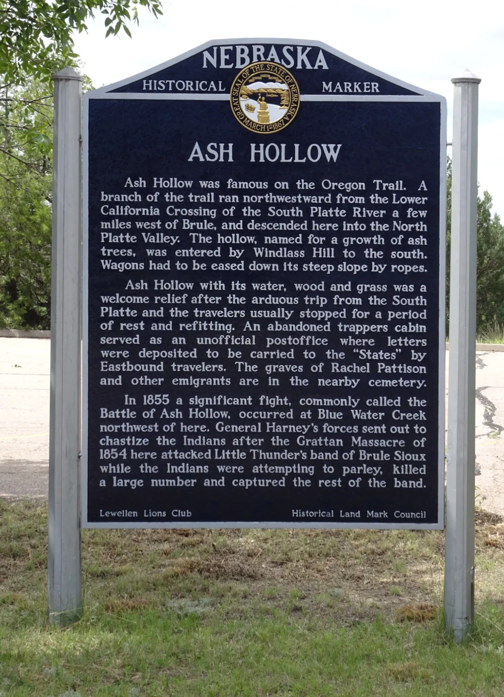
Across the road was the Ash Hollow visitors' centre, where we saw a short informative film and a few exhibits. But we still had a lot to see and even though we'd got an extra hour, we couldn't dawdle.
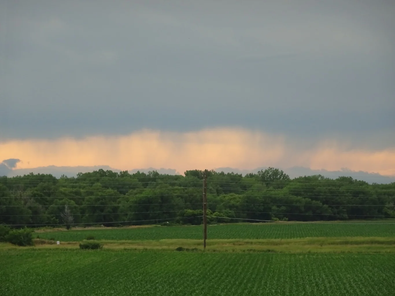
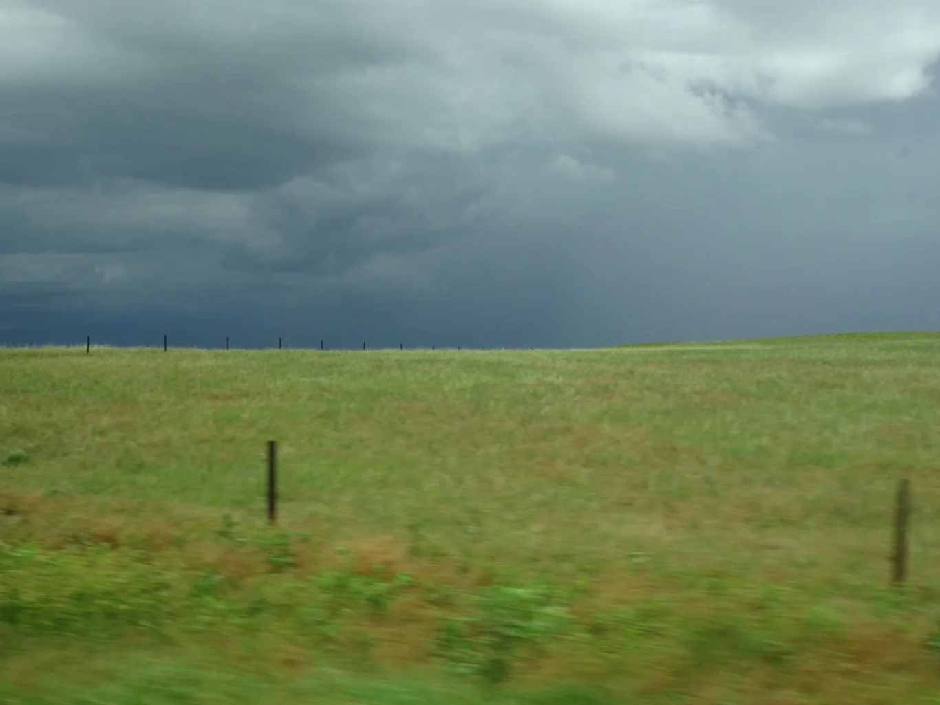
The skies were darkening too. Was that rain ahead?
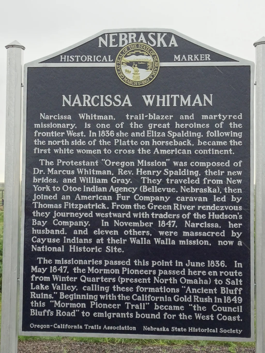
We didn't get out of the car to read about one of my favourite characters from the trail, but simply wound down the window, snapped and drove off. Bye Narcissa! You were one impressive woman (and remember the story of her suitcase?)
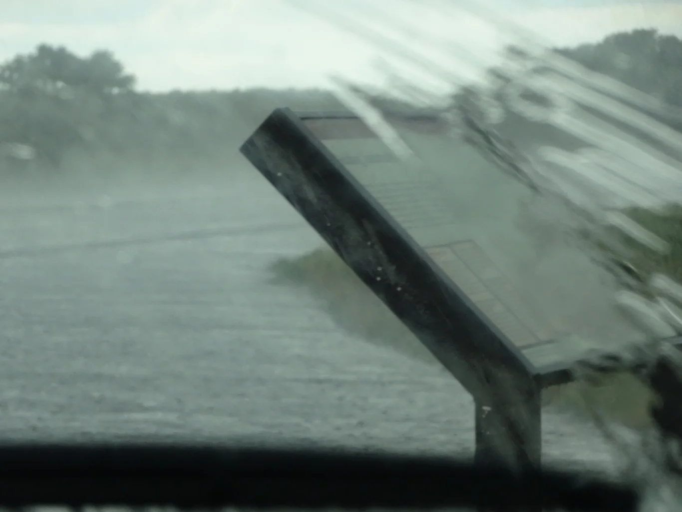
Ha! Was it rain ahead? You bet it was. Suddenly we found ourselves driving through a torrent of water and yes, it was still tipping down when we reached our next Historical Marker. We waited a while before I leapt out with my umbrella and took a picture for the team.
I even managed another before getting back into the car and putting my umbrella down in the wrong order...
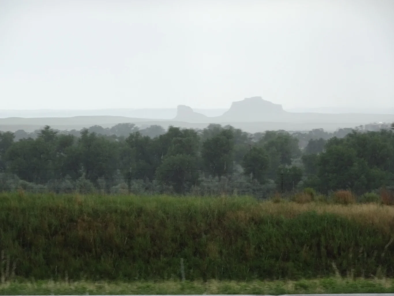
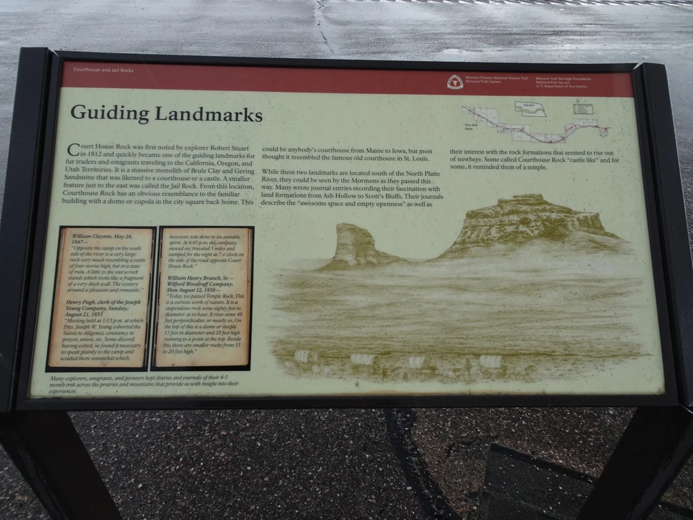
There in the distance were two of the "guiding landmarks" the pioneers used to find their way: Courthouse and Jail Rocks.
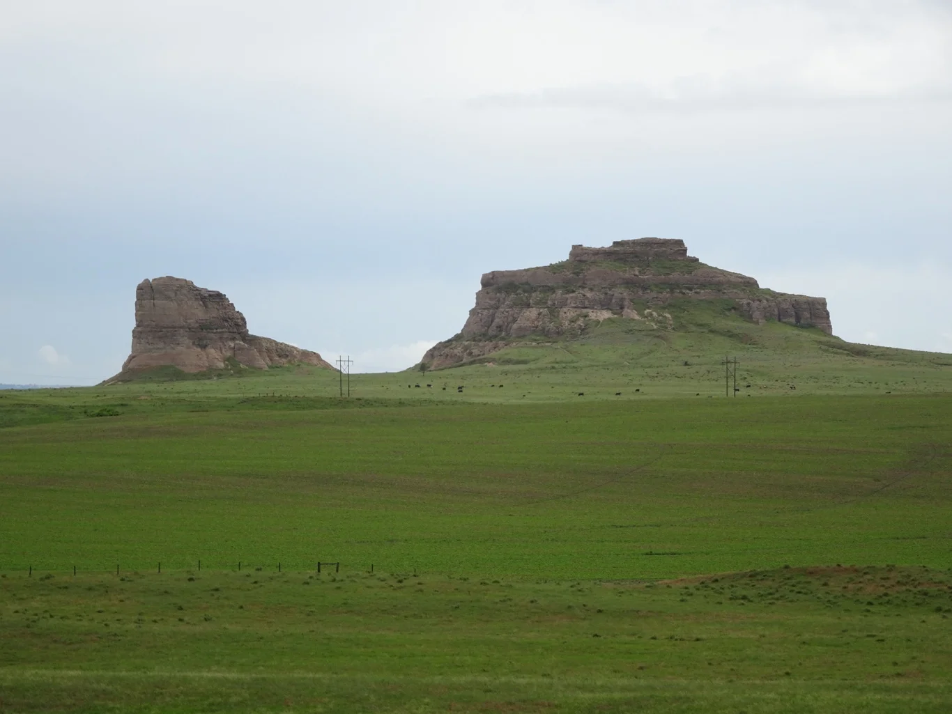
It was enough to see them from afar really, so clearly did they stand out from the flat prairie.
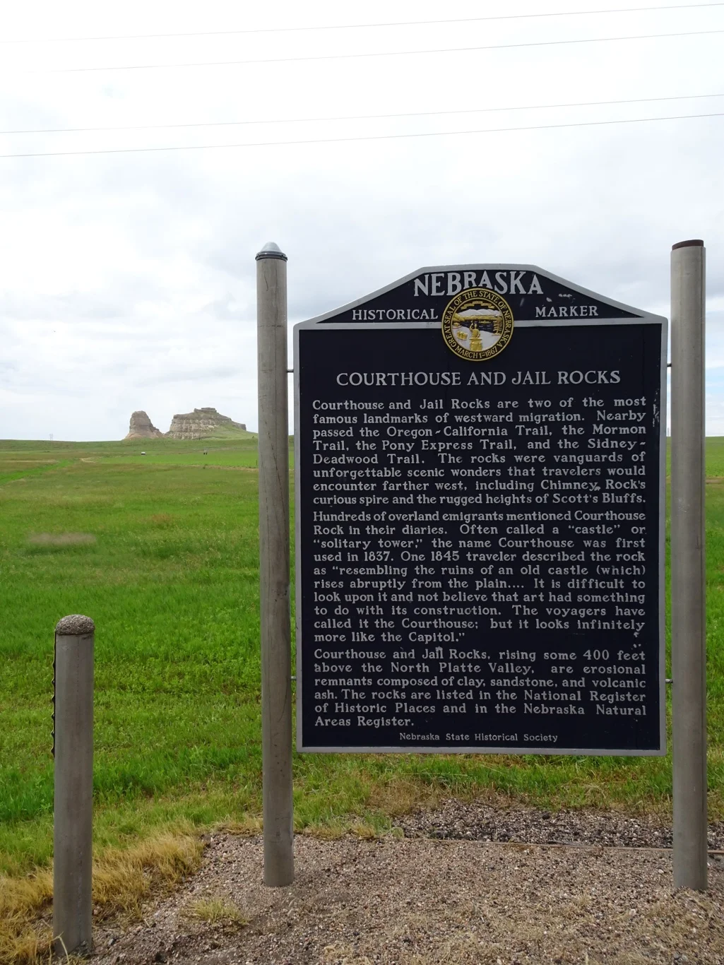
We stopped and read the marker though, because it had stopped raining by then and the sun was trying to come out again.
The weather had moved behind us now!
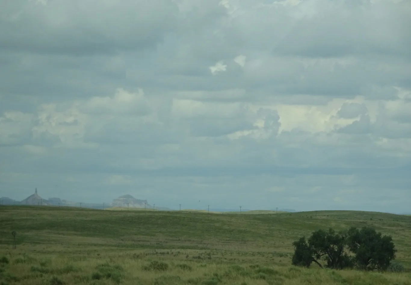
A little further on, my hero gave a shout. Whoa! Look over there!
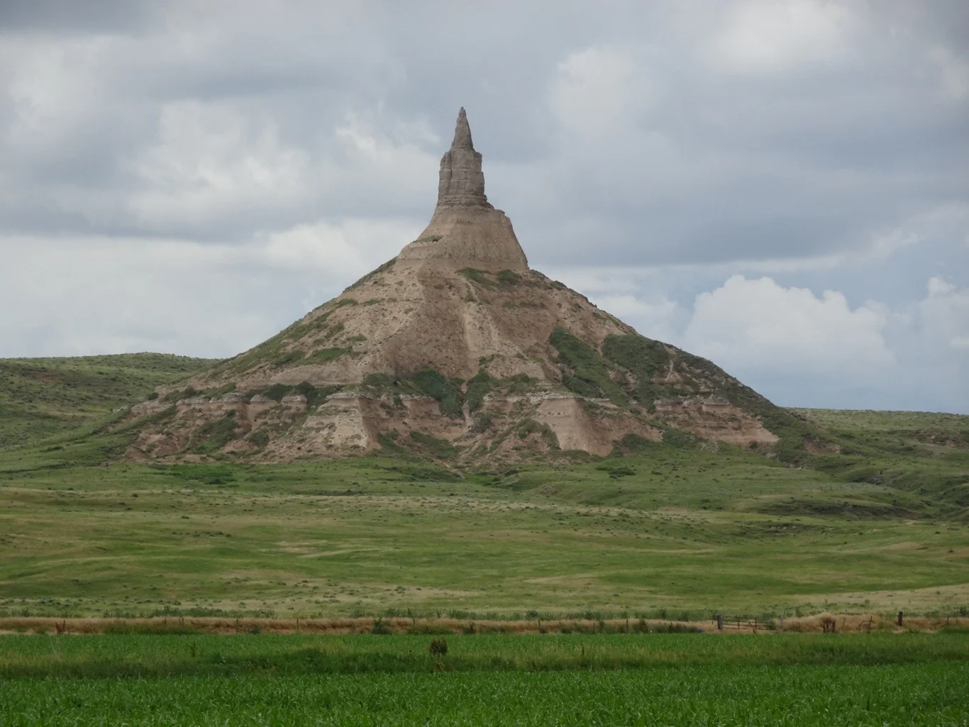
Chimney Rock was another of the lankmarks seen by the settlers for days before they reached it. My little bundle of stories describes how one of them watched as it got closer, but was distracted by the heat and "the pain from the boils on the back of her unwashed neck". By the time they reached this stage, they'd been on the trail for several weeks and it was tough going indeed.
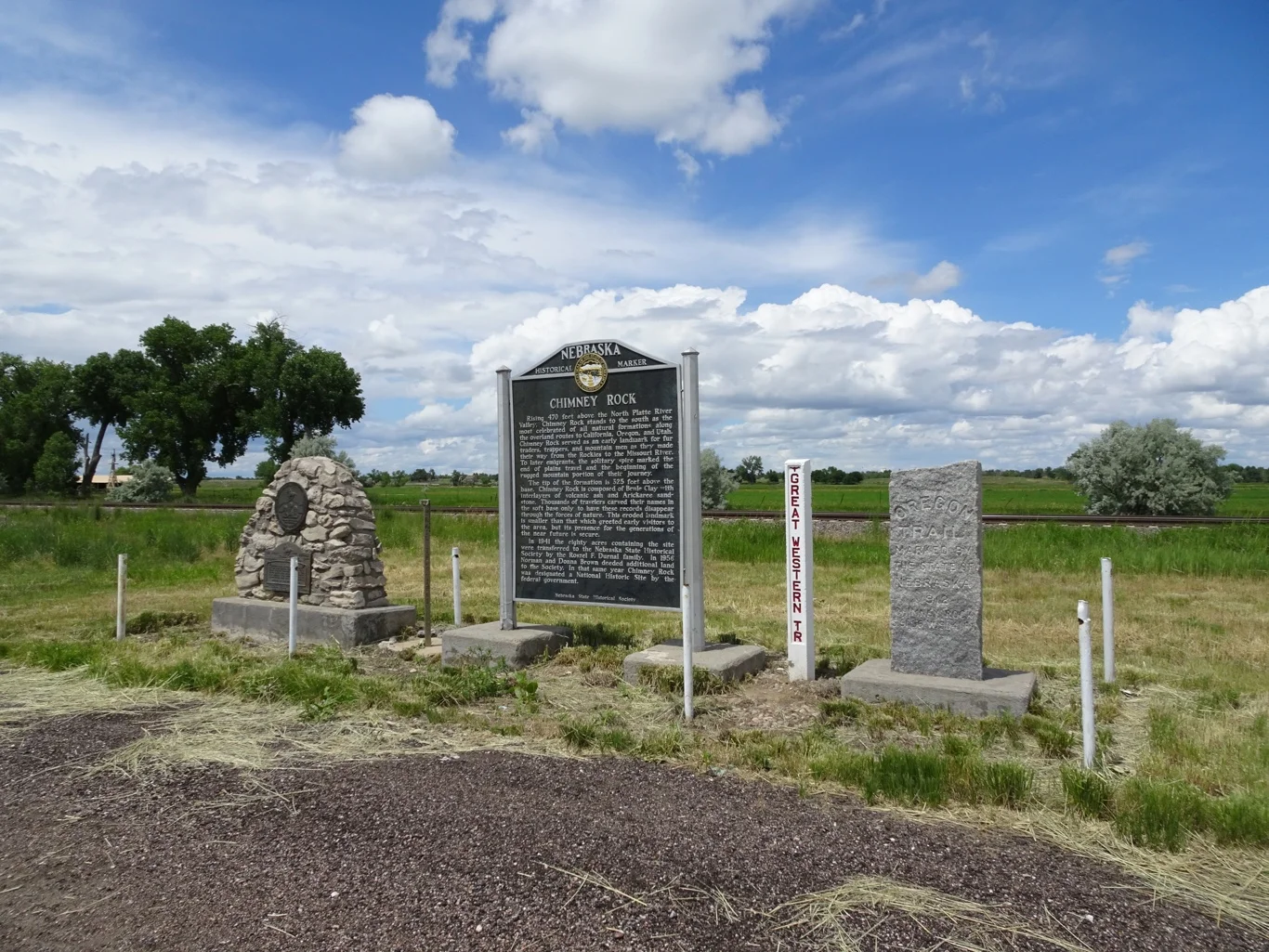
There were quite a few memorial stones here along the roadside overlooking Chimney Rock and the visitors' centre was the busiest we've seen, for this seems to be the most popular spot around here.
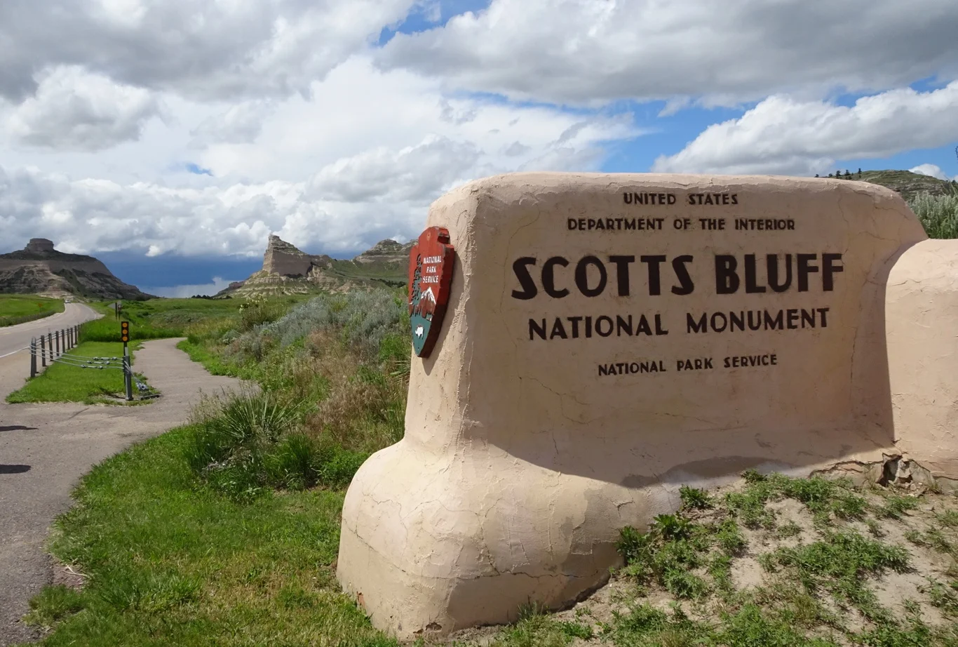
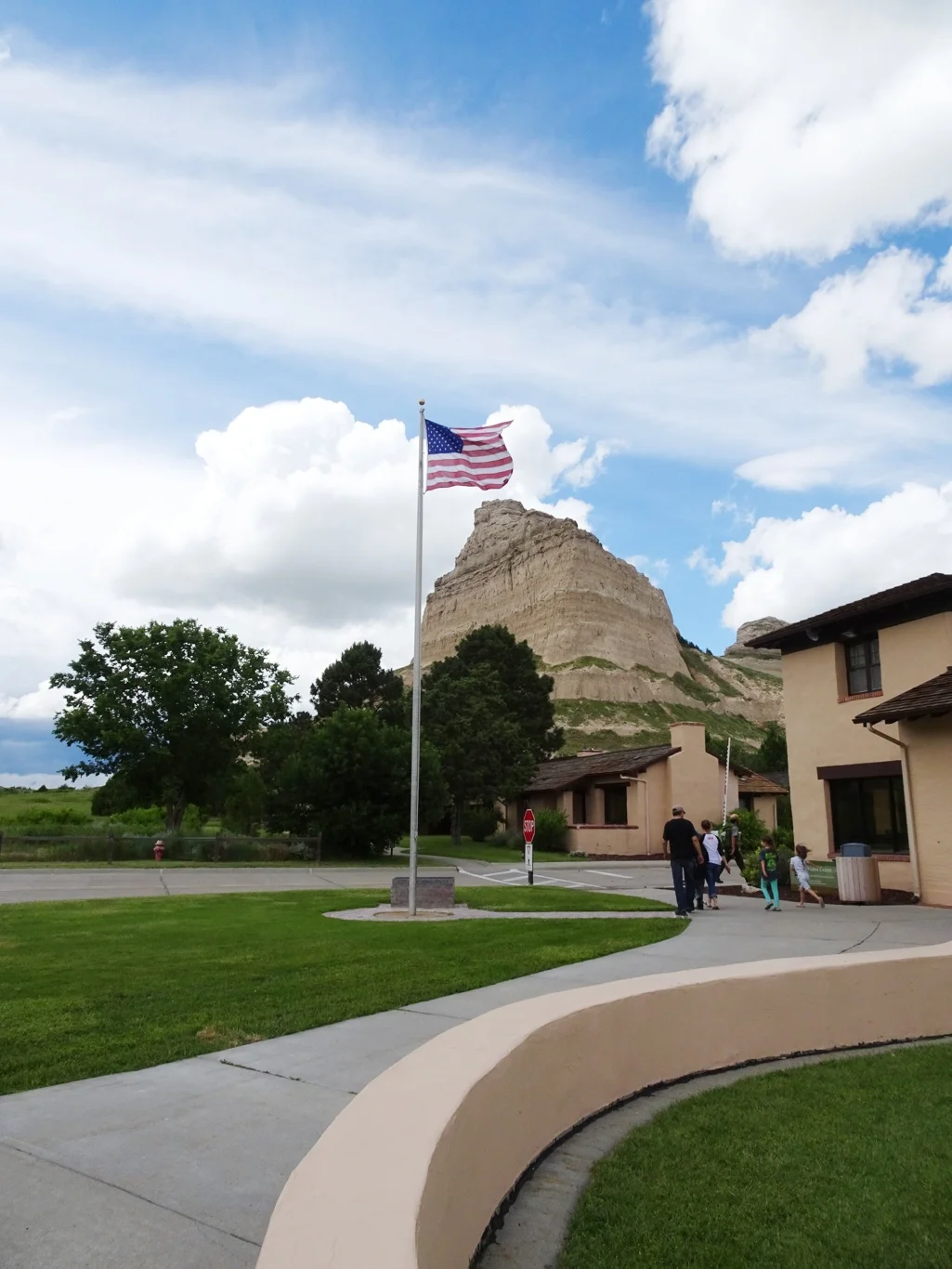
Just a few miles down the road was our last call of the day; the remarkable Scotts Bluff.
Most of the landmarks we've visited along the trail in the last couple of days have been Nebraska State Parks operations, but here we found a National Parks Service centre. The contrast was noticeable: no charge to park the car, professional and knowledgeable Rangers on hand and for us, no admission cost thanks to Mary's Golden Pass!
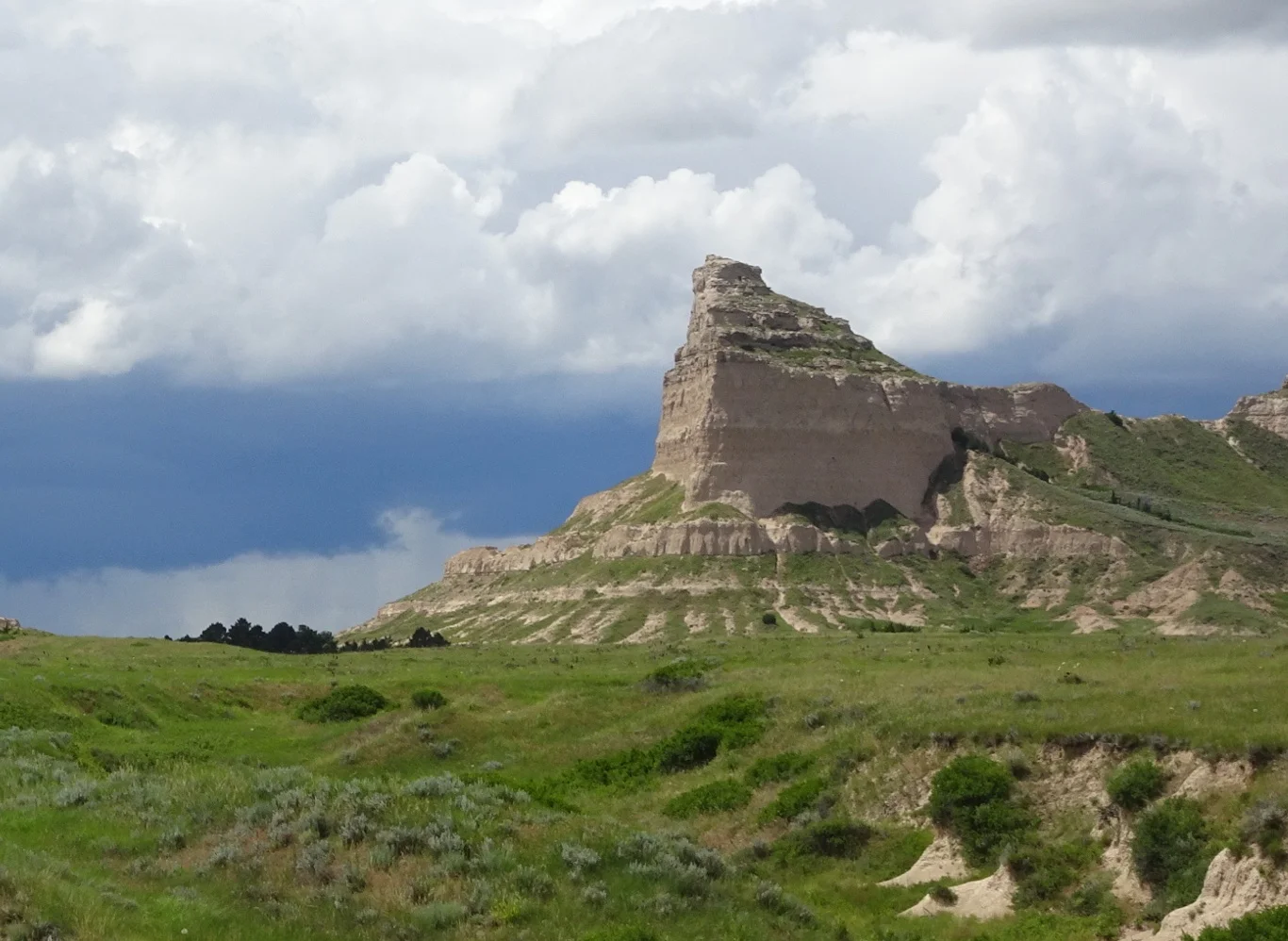
There was the option of driving to the top or hiking, but though the sky looked pretty nice in front of us,

something was brewing behind us! Oh, the prairie skies are so dramatic and change in minutes.
We went on our merry way towards the town of Alliance, our overnight stop. It's a funny old place, mostly closed on a Sunday (but possibly, mostly closed. Full stop.) Why did we choose to stay here then?
Join me tomorrow and you'll find out!