Another great day
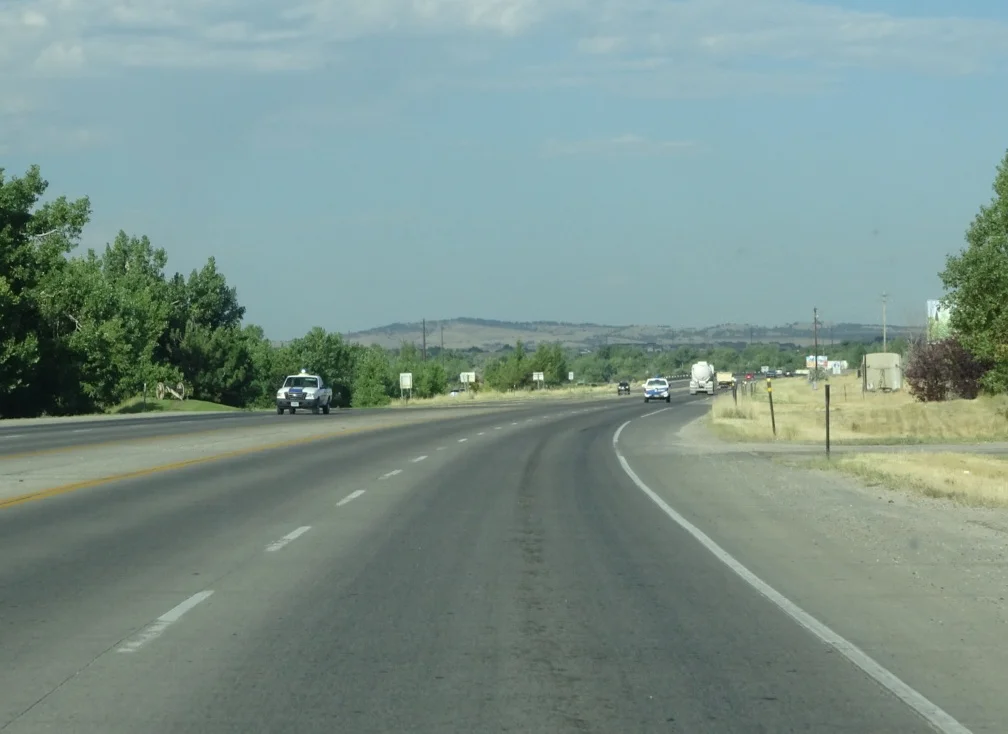
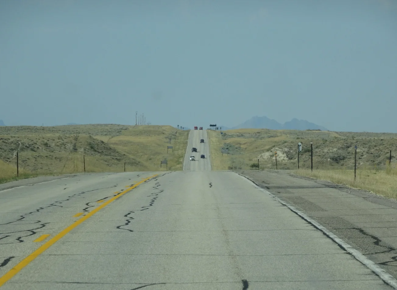
We needed an early start this morning, because we had a long day ahead of us. We hit the road straight after breakfast then, leaving Casper and heading towards Riverton with one or two deviations along the way.
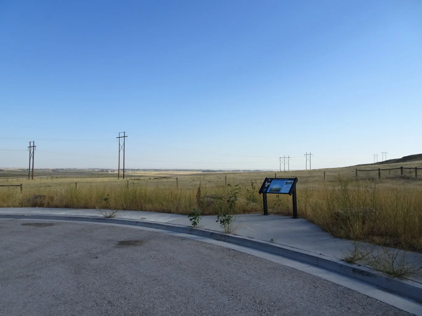
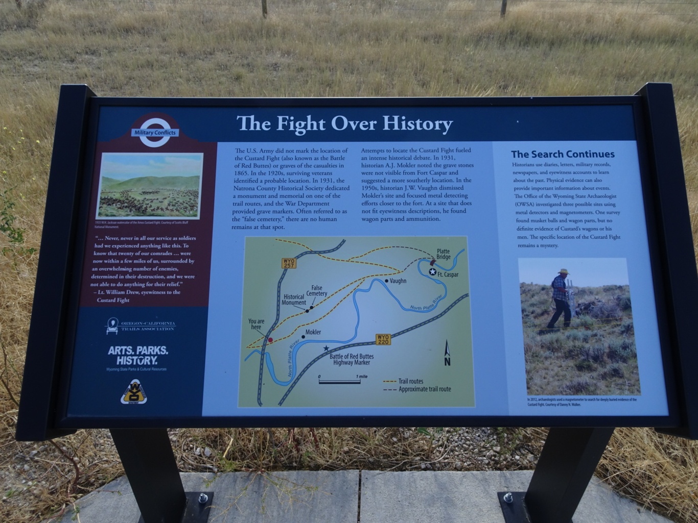
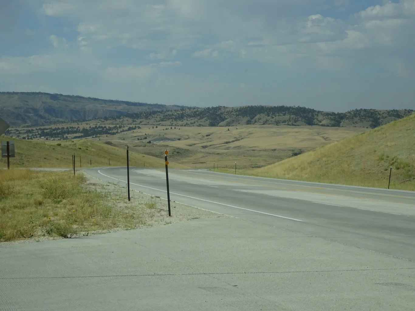
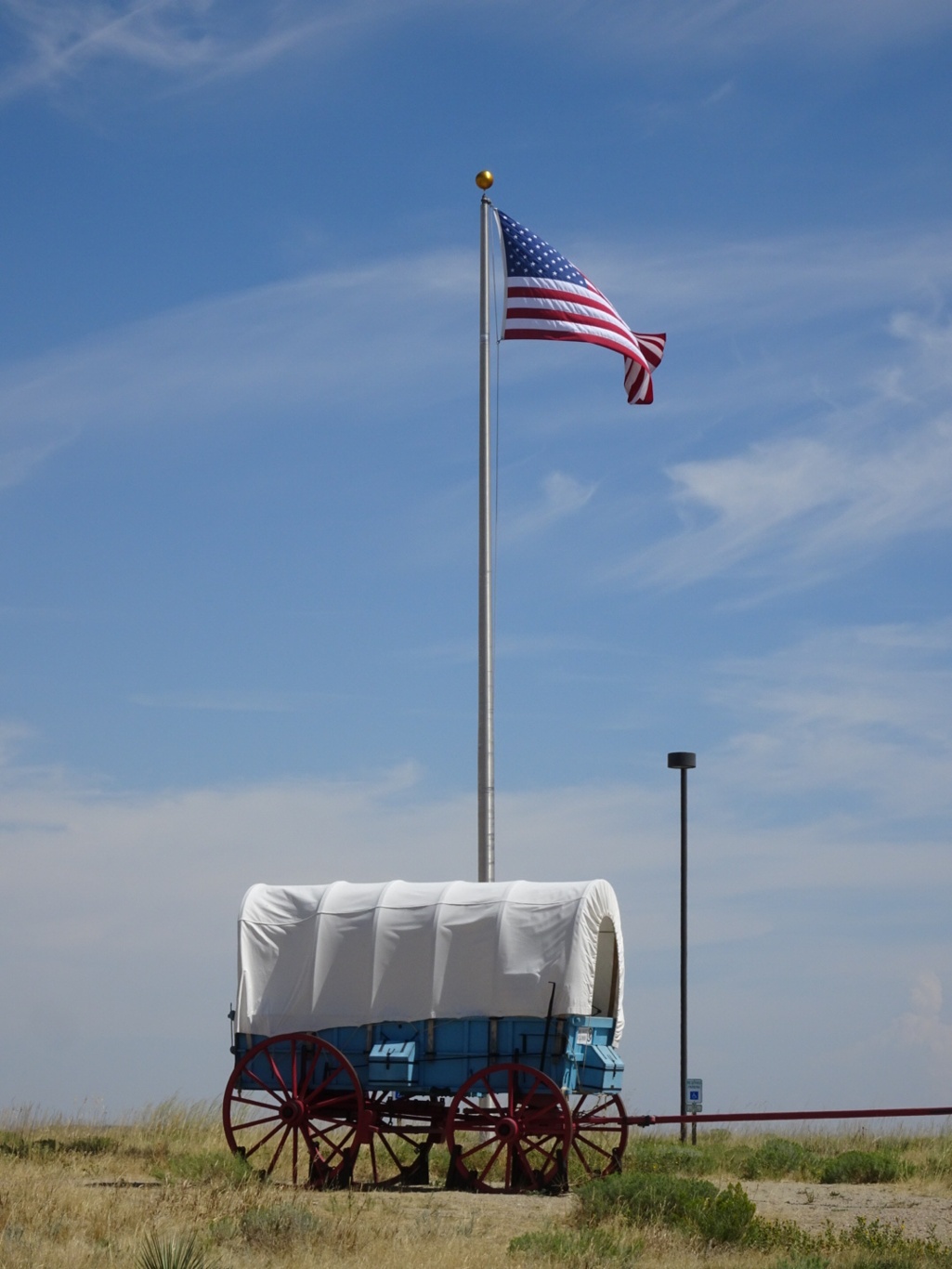
Our first stop was not very far at all - a little way along the beautifully named Poison Spider Road. A wide open space in one of the widest, most open spaces we’ve seen, complete with a handful of interpretive boards because a lot of history has happened right here.
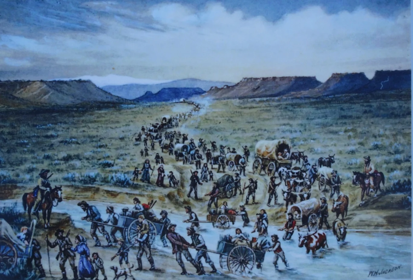
Yes, hordes of pioneer settlers have passed through here; those following the Oregon Trail, some in search of gold in California, the Mormons pushing their handcarts towards the Salt Lake and for a short period of time, the Pony Express. A reproduction of a painting of the scene gave a good impression of how it might have been.
Other events happened here too - including the Custard Fight. Needless to say that name made me smile but actually, this was a very serious battle, involving a General by the name of Custard rather than gallons of a creamy yellow liquid.
As we climbed back into the car, I took a look around this empty countryside and felt a real sense of place here. Not surprising that these hills could tell a tale or two somehow.
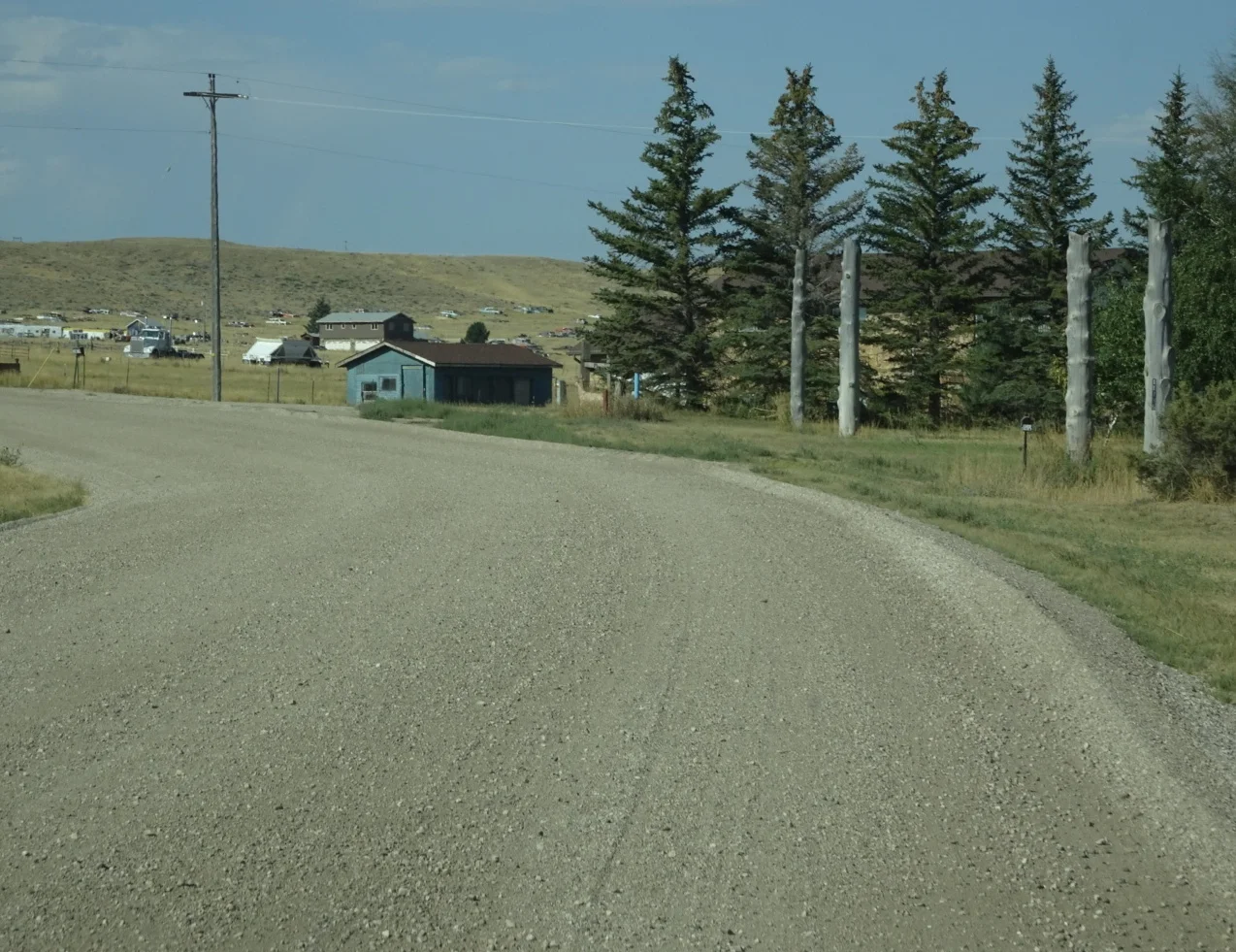
The next part of the journey took us along an unmetalled road, a bit off the beaten track. We all had a bit of a wobble - was this right? There were no roadsigns and our map wasn’t quite detailed enough to show these tracks. But our satnav seemed happy and we felt as though we were going in the right direction.
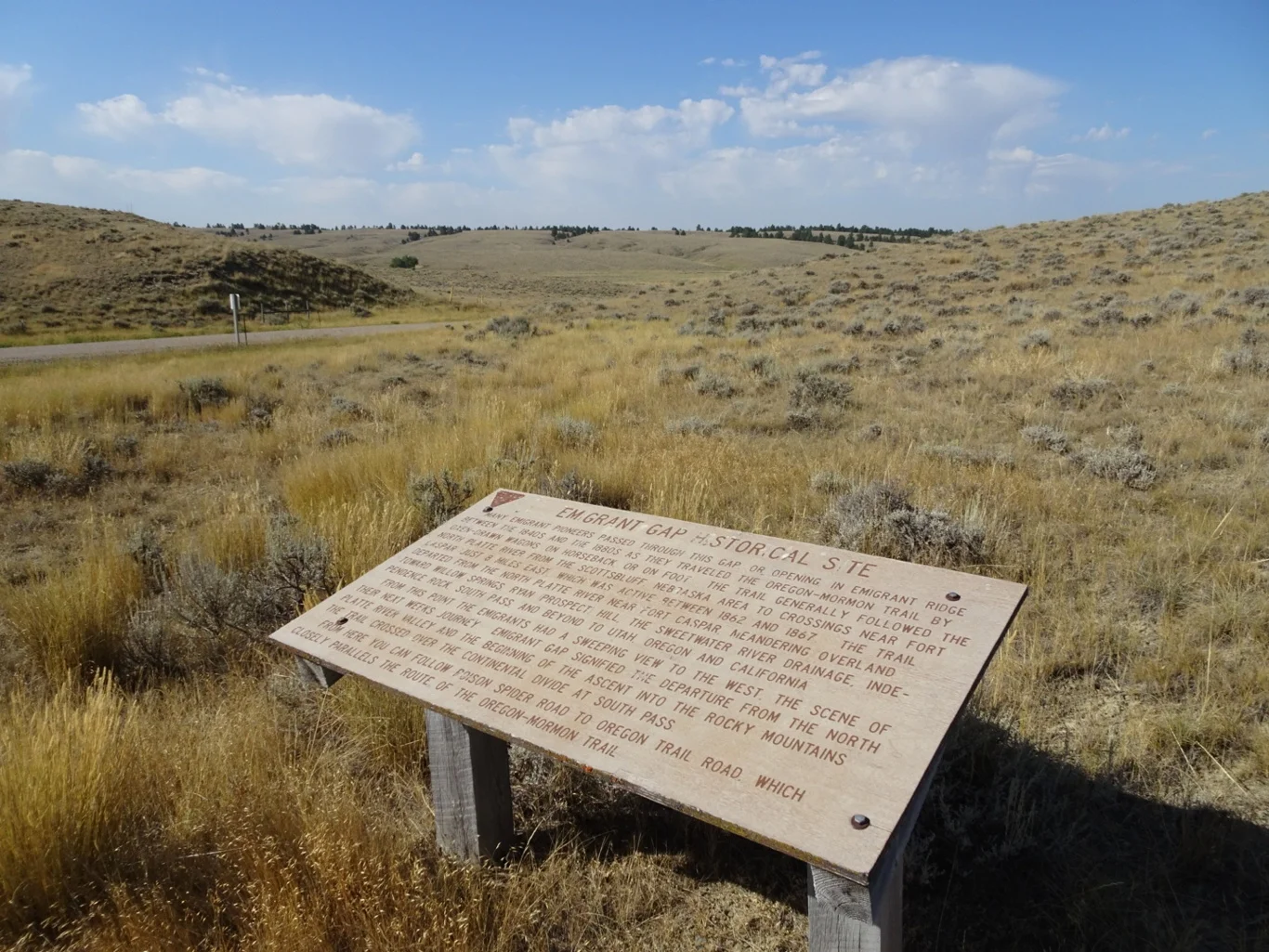
Just when we were beginning to worry, a sign appeared: Emigrant Gap
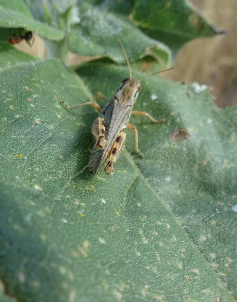
As we approached the sign, treading carefully through the scrubby grass, there was the usual “eruption” of grasshoppers who sprung in all directions!
A photo I took later offered enough information for me to identify them as differential grasshoppers
We’d had enough of the noise, dust and bumpy ride along the track, so took the first opportunity to rejoin the main road, somewhere near the Bessemer Bend and from there enjoyed a rather smoother, swifter ride to our next stop.
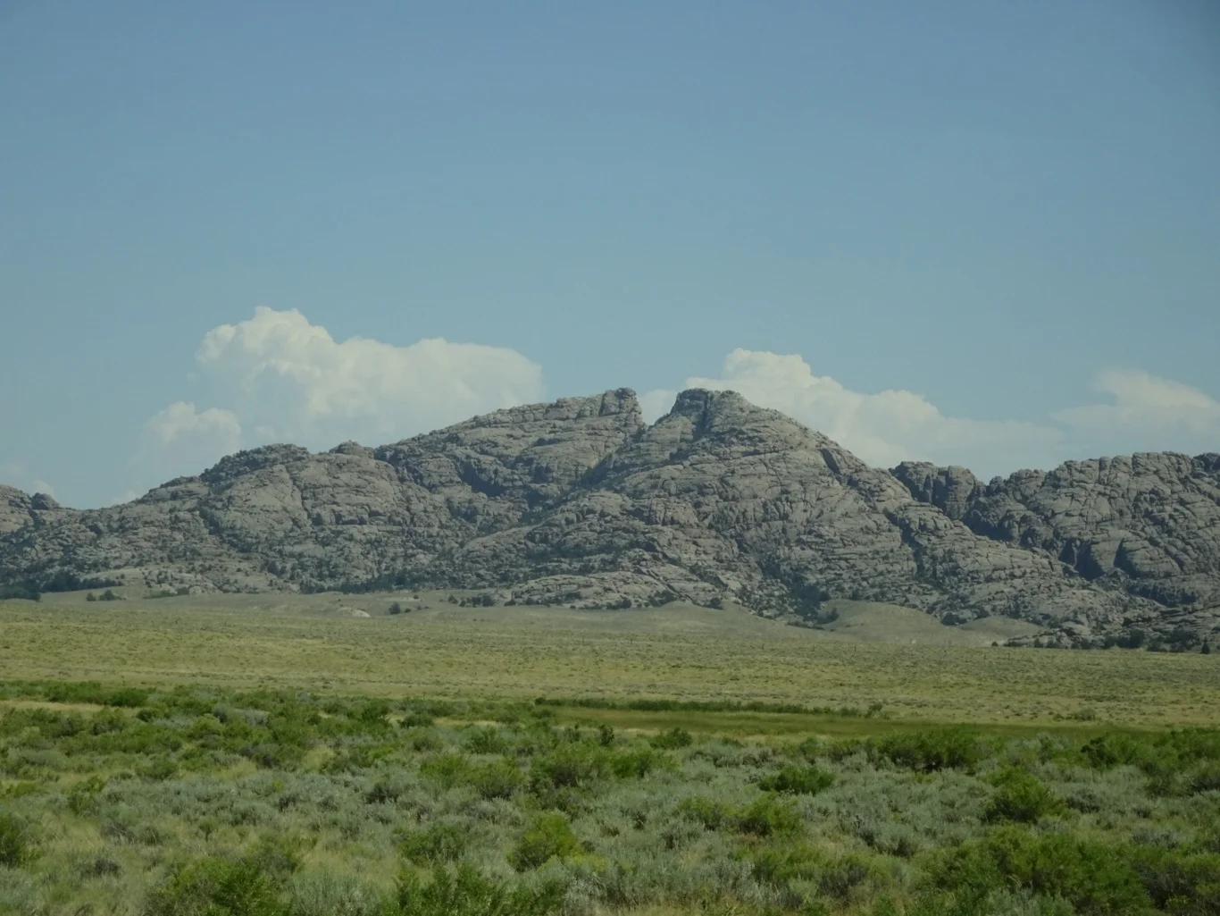
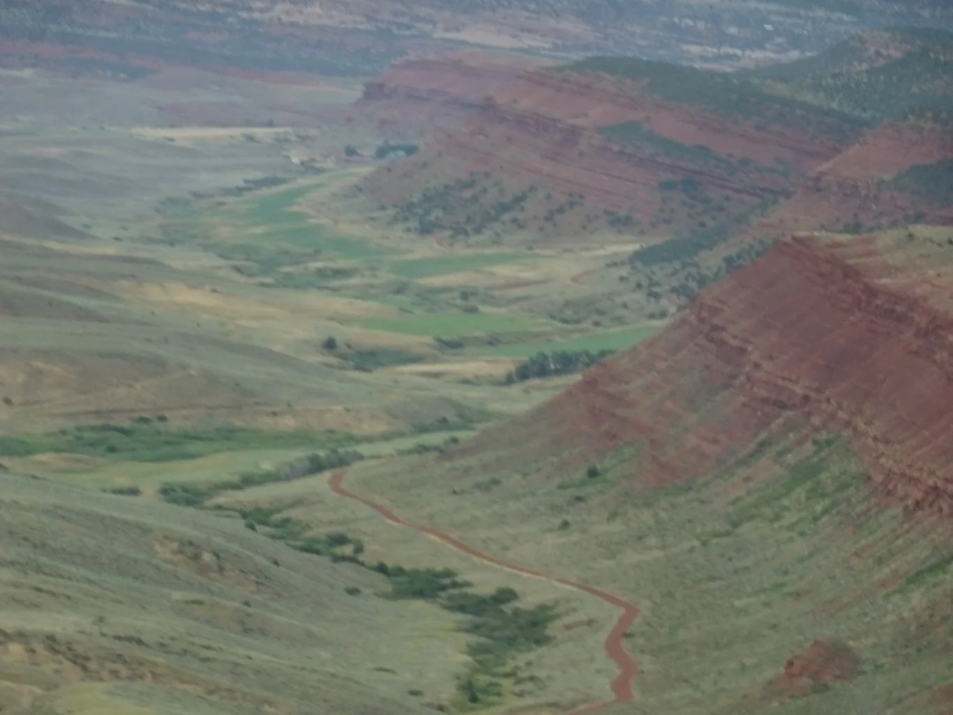
This area must be a geologist’s dream! Ever changing, the distinctive colours of the rock catch the eye and there are the most fascinating shapes too.
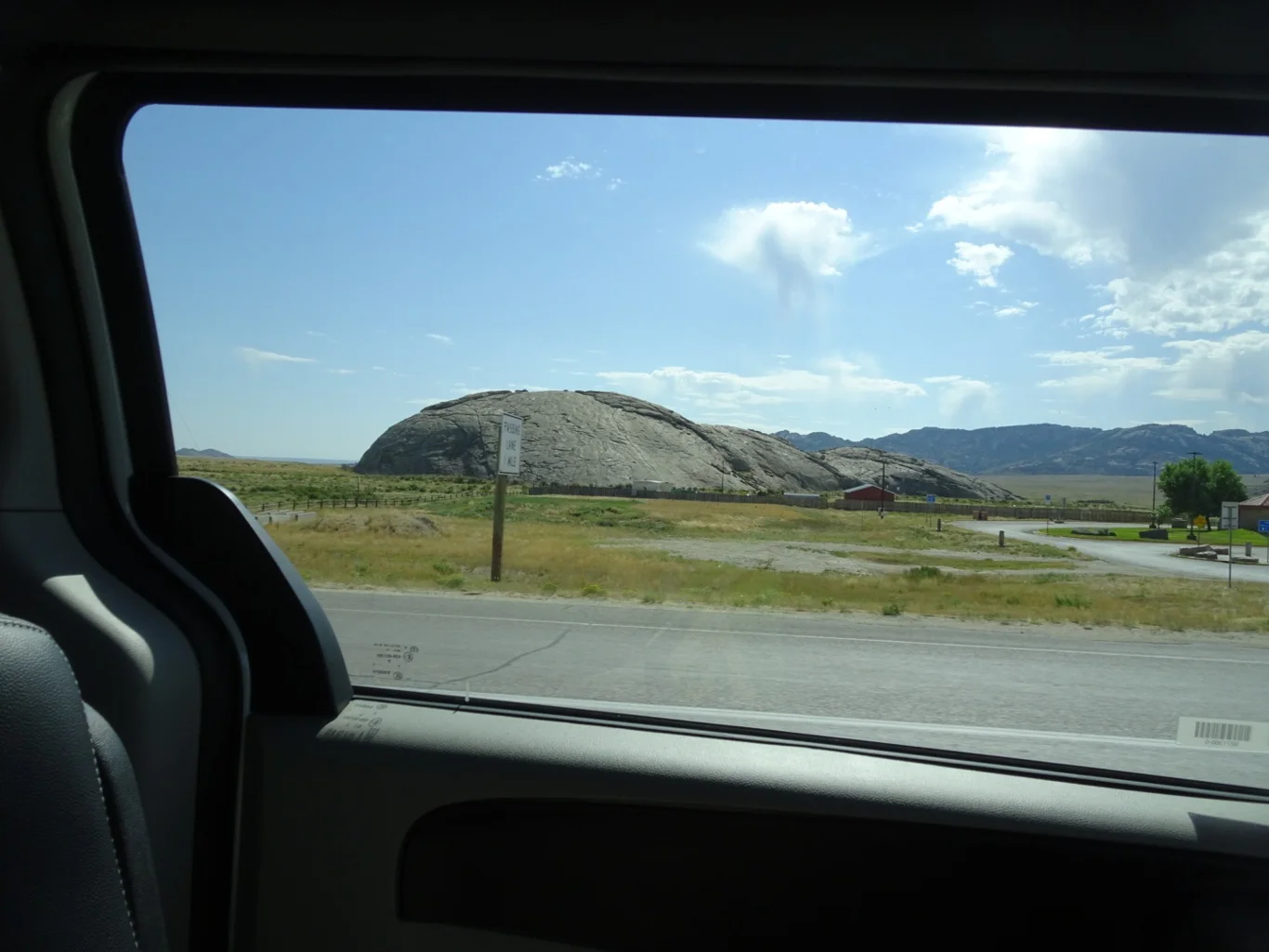
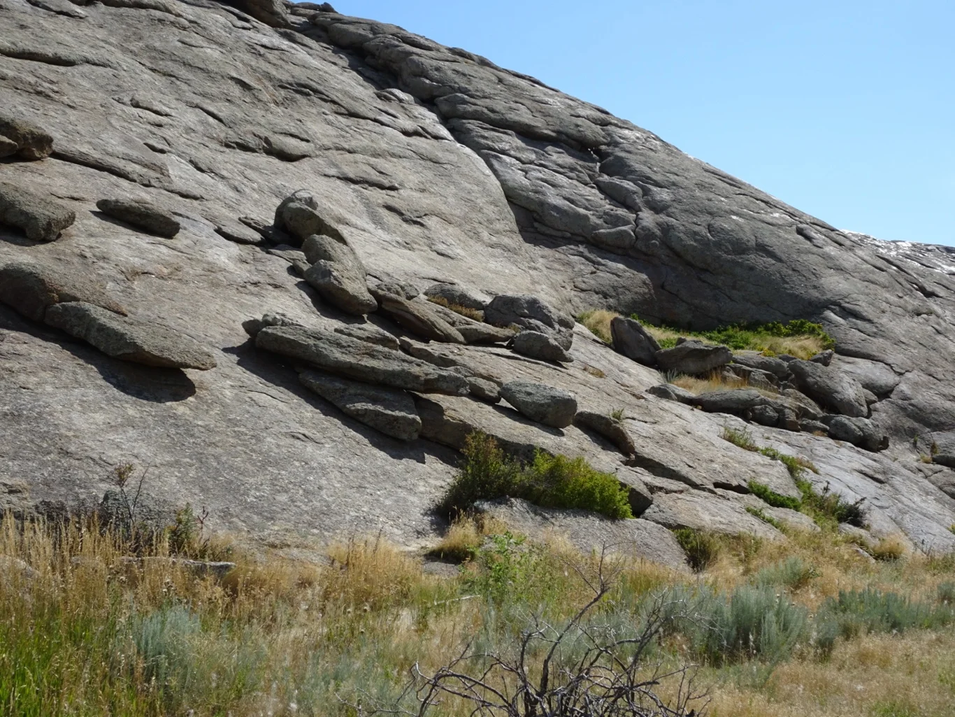
We caught sight of our next destination through the car window, recognising it from the distinctive shape and texture. Independence Rock is another of those features on the Oregon Trail; the place where the pioneers would aim to be before July 4th if they were to have a hope of getting through the mountains before the snow set in.
We parked the car and set out to walk to the rock, crossing an area of swales where the wagons had driven all those years ago.
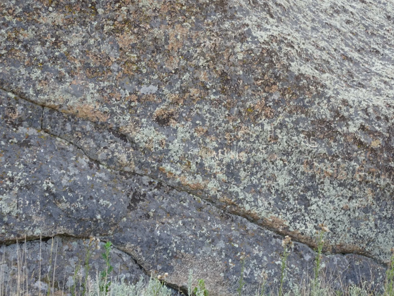
Having read about this place and seen images in the museums and guidebooks, we’d imagined something along the same lines as Register Cliff, another landmark where pioneers had stopped and chiselled their names into the rock. Sadly, we were to be disappointed.
For here, the growth of lichen and the natural process of erosion had all but erased the names. Looking closely - squinting into the sun - it was possible to pick out a letter or two, but there was no way to read whole names at all. Never mind - this is one of very few disappointments and maybe, given better light conditions and a little more patience in finding the right spot, we could have done better.
We chose to move on!
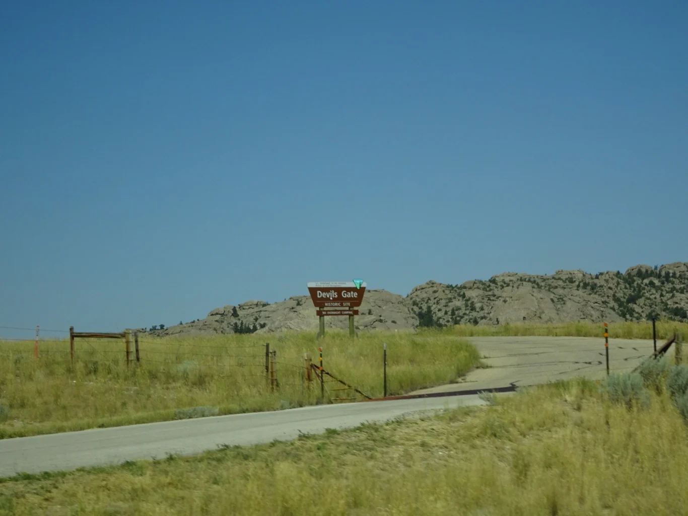
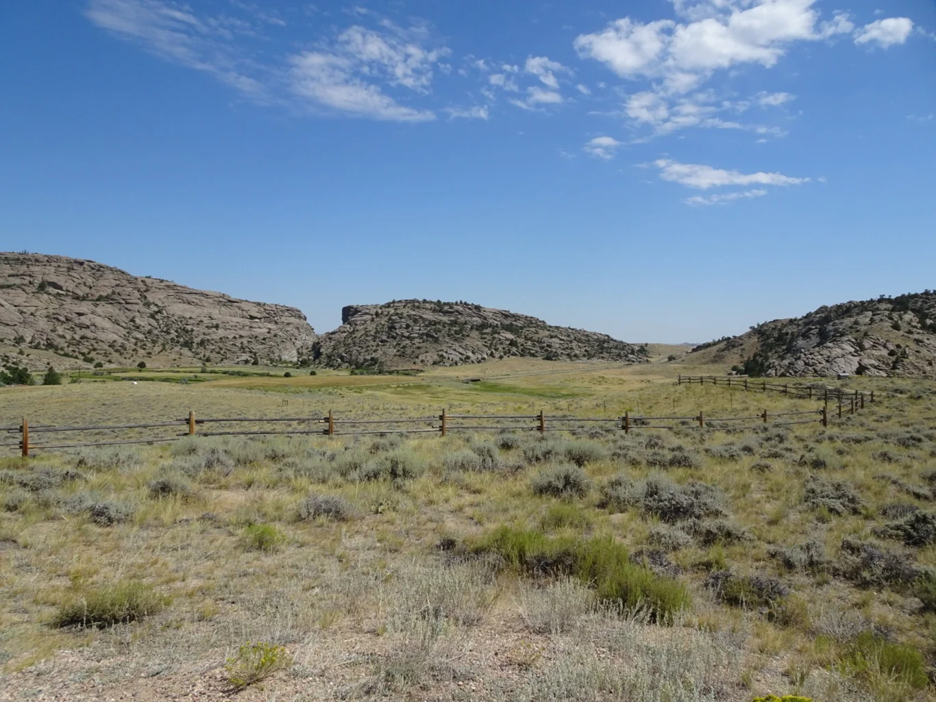
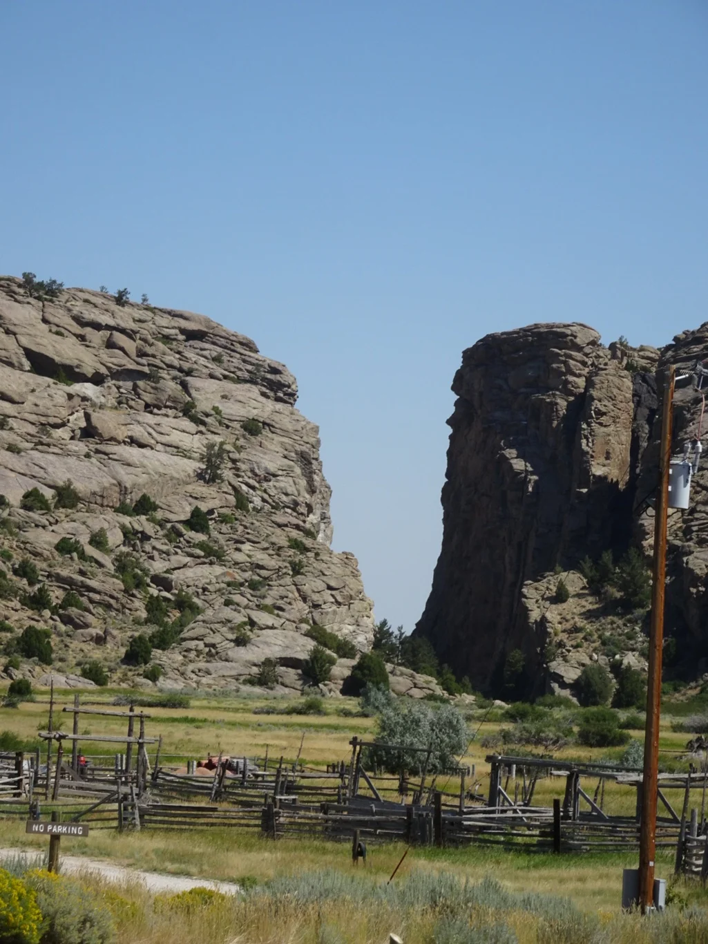
Following the trail pretty closely, our next stop was Devils Gate - a gap in the rocks through which the river passed. The pioneers took a slightly different route alongside, using the distinctive rock formation as a landmark to aim for.
From here at the viewpoint, though, it wasn’t easy to see the gap and even though my Hero walked down to the further viewpoint, he reported the same view but slightly closer. Mary and I were glad we’d chosen to stay in the cool of the car for an extra five minutes.
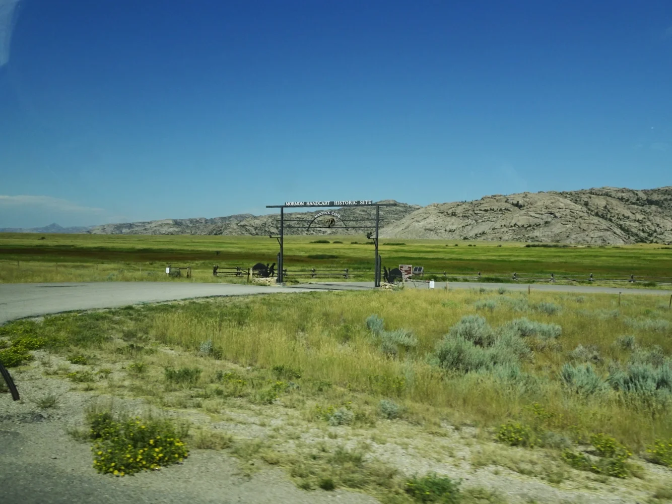
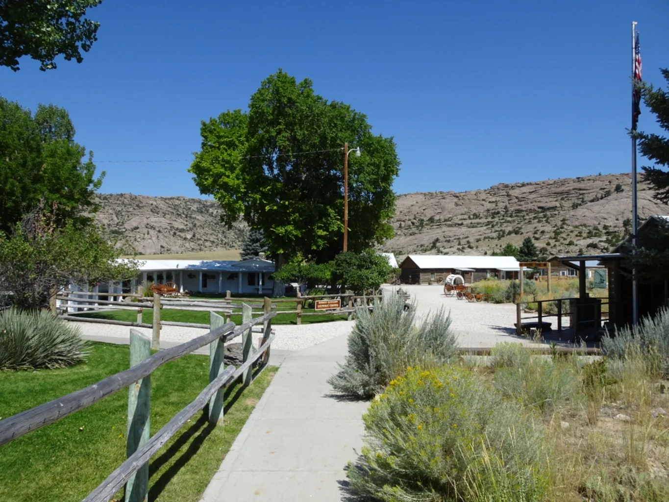
The best view came from here, the Mormon Handcart Visitors Centre at Martins Cove where we stopped a while to take a look around.
Sister Roberts gave us a great introduction to the site, showed us around the museum and explained a great deal about the Martin Company and the events of 1856.
Oh, and yes, pointed out Devils Gate!
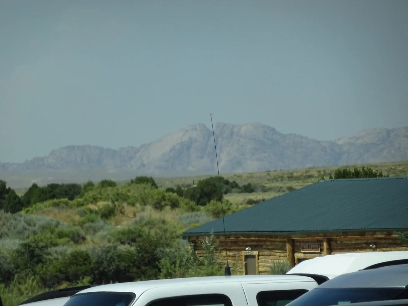
She also pointed out the Split Rock, the pioneers next overnight spot, some twenty miles away. Sorry the car aerial got in the way of my snap or perhaps I cleverly engineered it as a pointer?
That was to be our next stop too - another parking spot, interpretive boards and good, paved pathway to a viewing spot. These places are so well tended and make it so easy for us visitors.
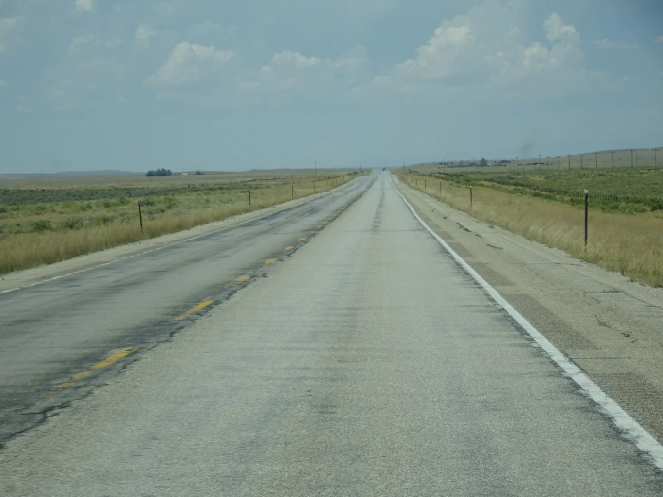
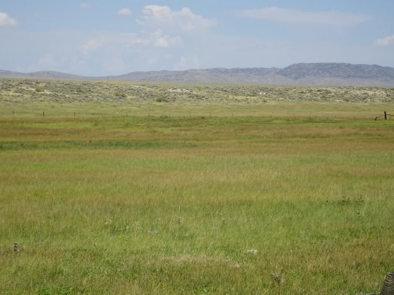
Another long, straight road led us to another spot we’d read about. This wide open valley appeared to be a relatively easy route for the pioneers, but we’d noticed that here in Wyoming, there were not the same soft, green grasslands of Nebraska but short, scrubby plants, many with prickles growing on hard, dry earth (at this time of the year at least). However flat the route might be, this land would have been far from easy to negotiate.
Having said that, our next stop was by a flat, green grassy spot.
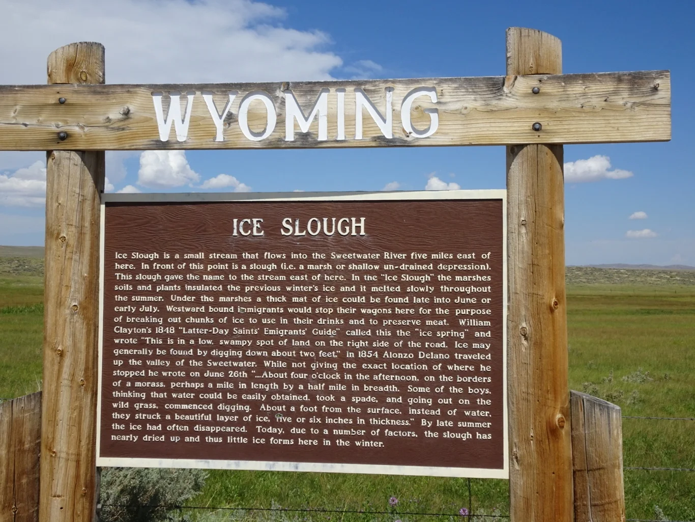
This was the ice Slough .
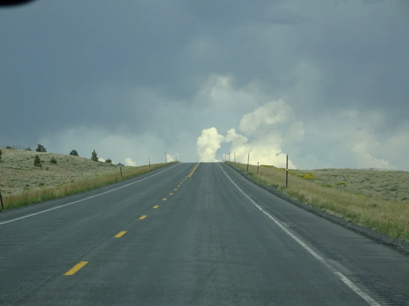
As we stood looking around, we noticed a few menacing clouds. We still had a way to go to our final stop of the day and we hoped the weather wouldn’t get in the way!
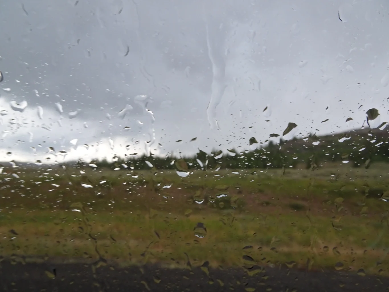
Hah. The rain arrived, together with a couple of flashes of lightning - enough for us to work out a plan for a thunderstorm out here in the sticks.
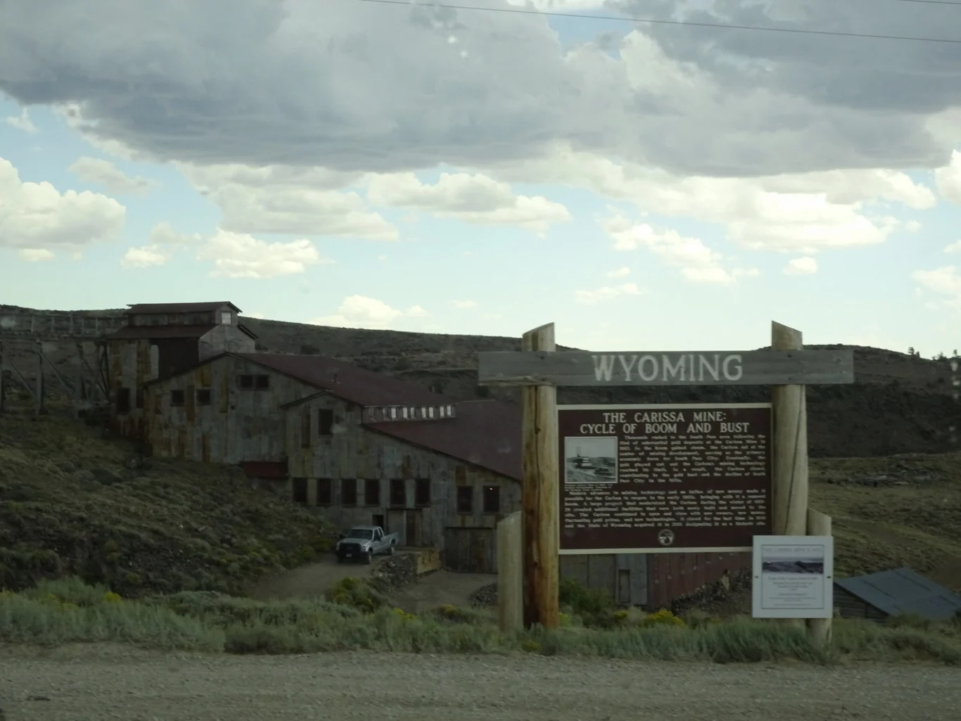
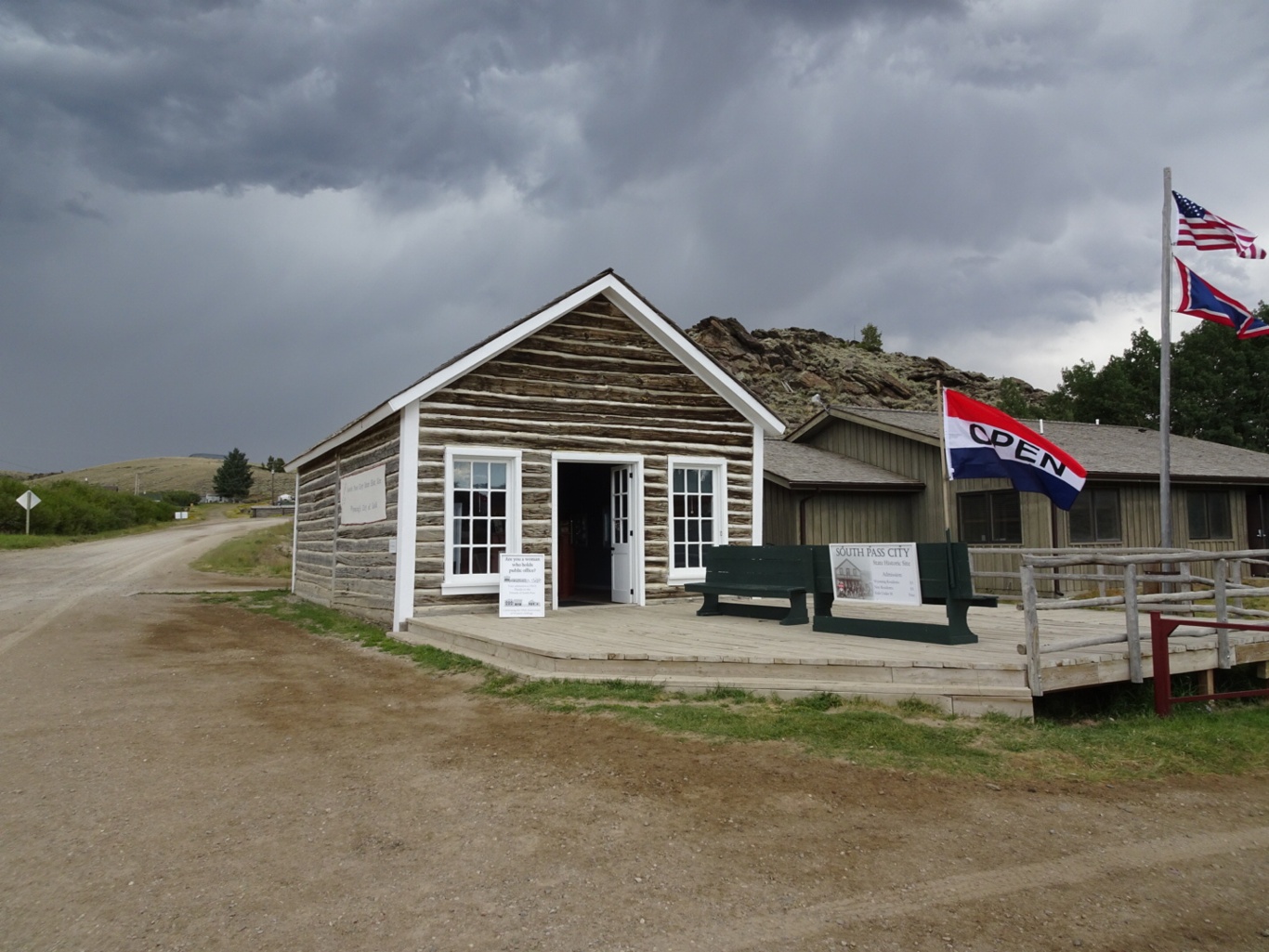
Thankfully, the rain had passed through/not arrived at our next stop, but the light was pretty dire! Our last plan for the day was to visit South Pass City. This too was on the Oregon Trail - in fact, the trail came before the town; the gold wasn’t to be found for a few years more
Another unmetalled road led down to the small (pop 2) town of South Pass City. We parked the car and made our way over to the Dance Hall, where tickets were to be found.
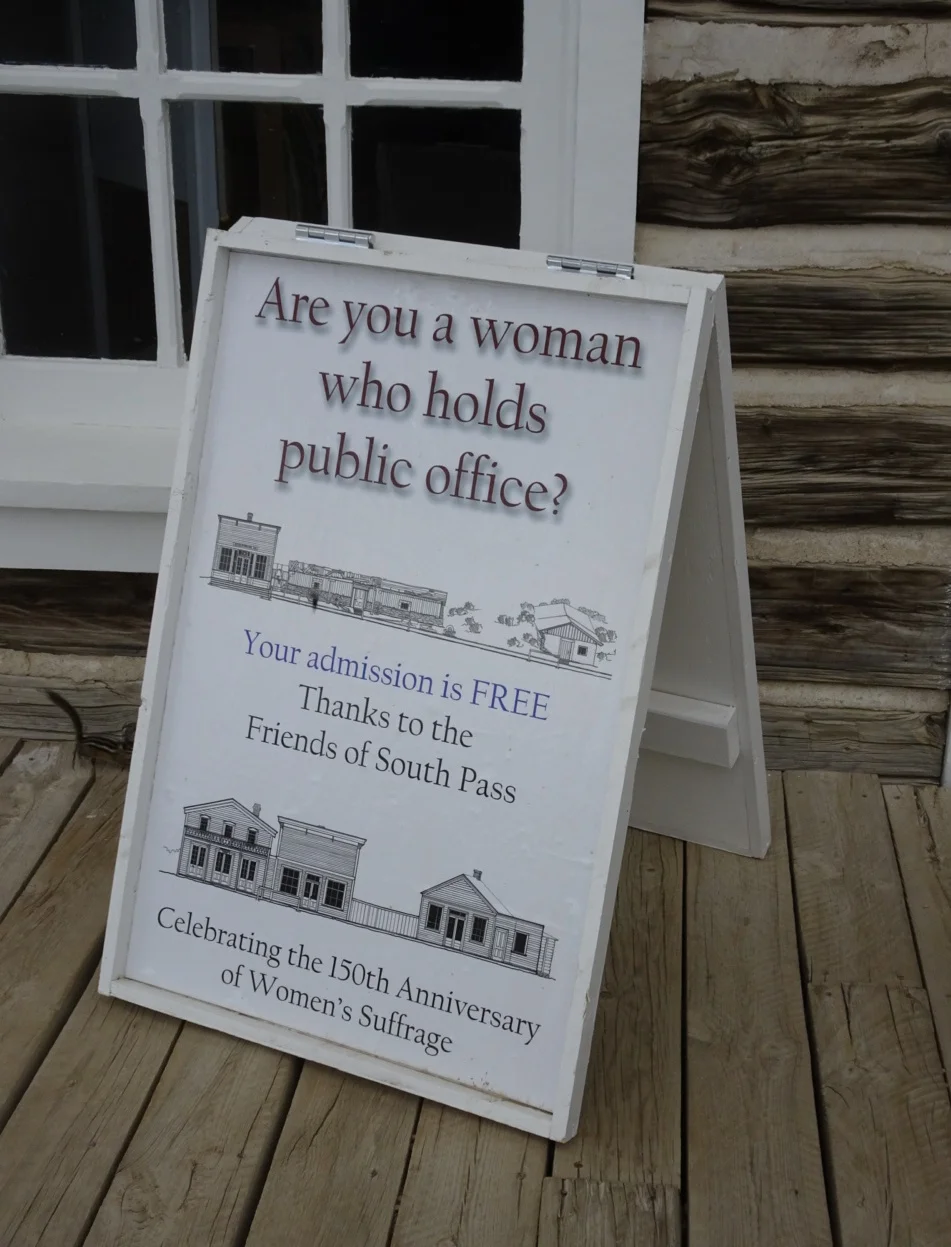
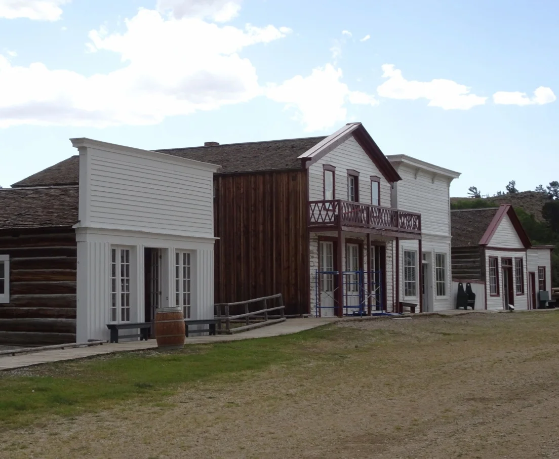
We were rather impressed by this…
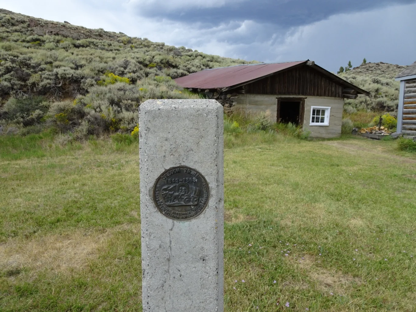
A boardwalk path took us down the main street and past a few important buildings. There was also a marker for the Oregon Trail.
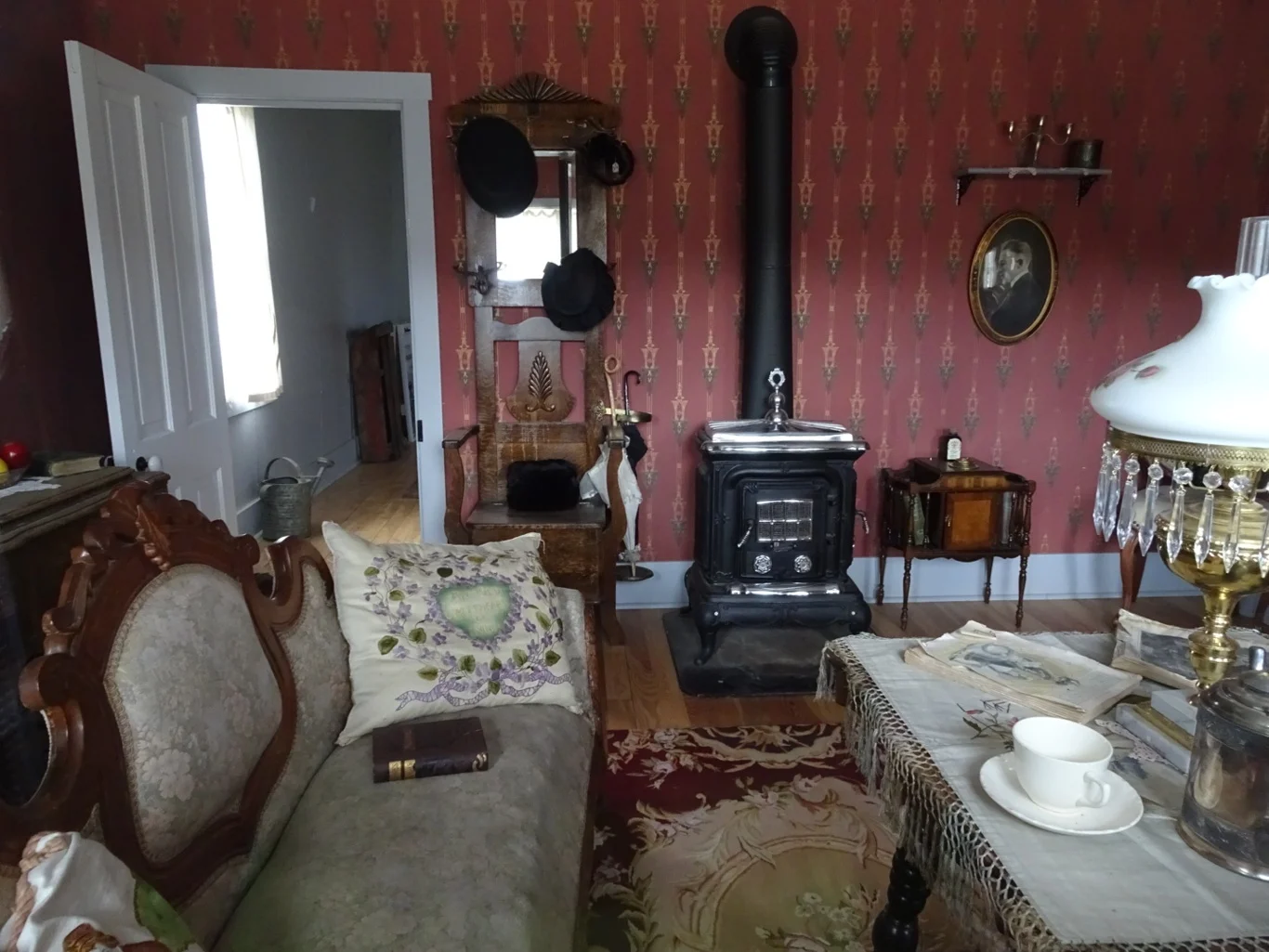
We loved the way the interiors were staged, the stories about the characters in the portraits on the walls and the overall feeling of a community, however short-lived.
We were glad to be able to meander in and out of the buildings, armed with a good booklet of the details describing what was what.
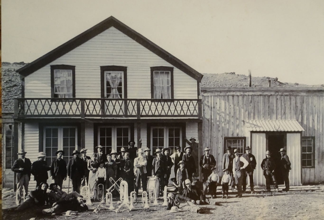
I find that photographs like this bring a place to life too - real people here, with stories to tell, especially of the day the band visited!
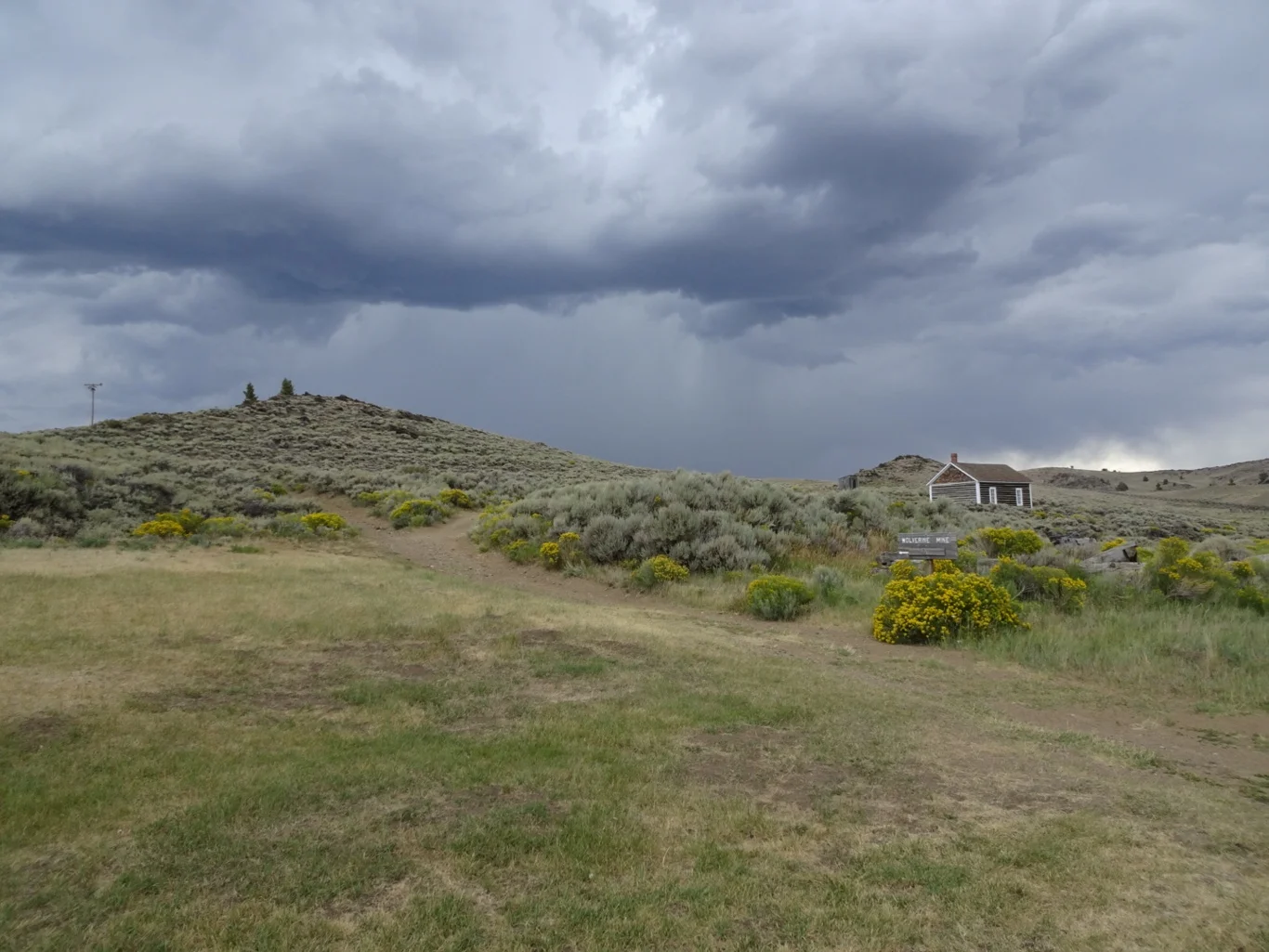
We chatted to another family under ever-darkening skies. They said the cottage up there on the hill was well worth a visit, as was the prison… How could we not follow their recommendation?! Carolyn Lampman introduced herself as an author of several books including one about the Oregon Trail. I was glad to have her details!
Those skies, though! Not only is there plenty for geologists here, I’d think that meteorologists must be pretty happy too!
The last drive of the day was thankfully in the dry and those dark skies didn’t deliver any more rain in spite of their threatening appearance.
Just when we thought the scenery couldn’t get more spectacular or colourful, we take another look.
Wow.
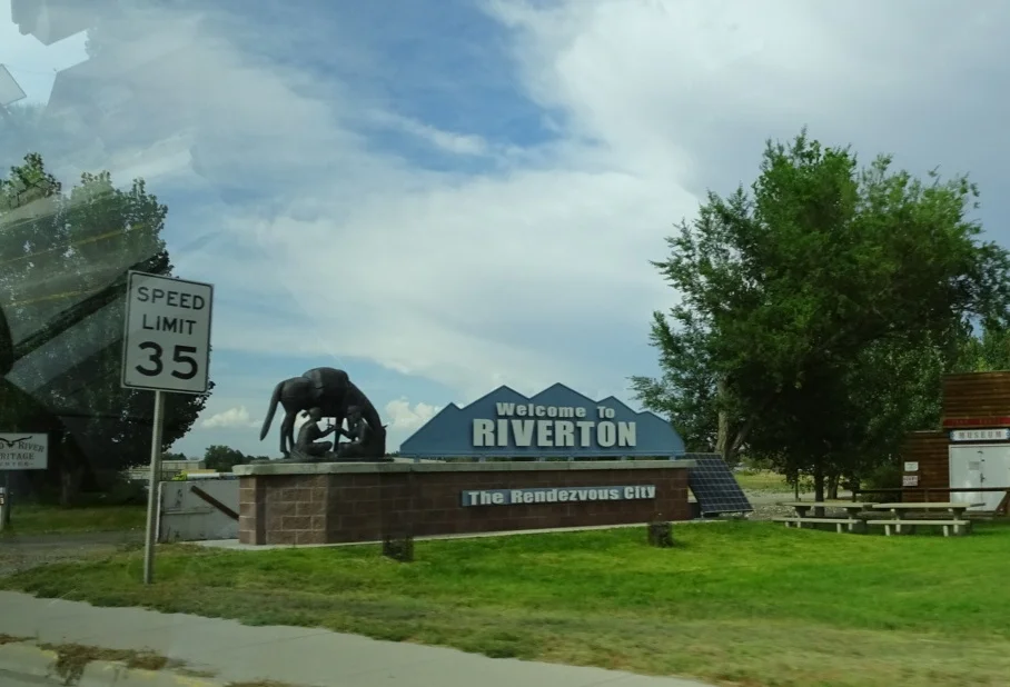
Tonight, we are in Riverton. We’ve left the trail for the time being as we explore another part of Wyoming and will pick it up again in a few days time.
Another great day on the road!


