


Continental Divides and Time Zones
Setting off on this, our last full day in North Dakota, we reflected on the surprises we’ve found here. Who knew that we would be so enchanted by the surprising landscapes and the extraordinarily friendly people we’ve met?
Today was going to be a driving day. Another one of those days when we had a clear destination but other than a few stars on the map where there might be something worth stopping to see, not much else.
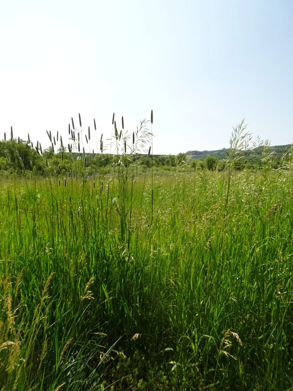
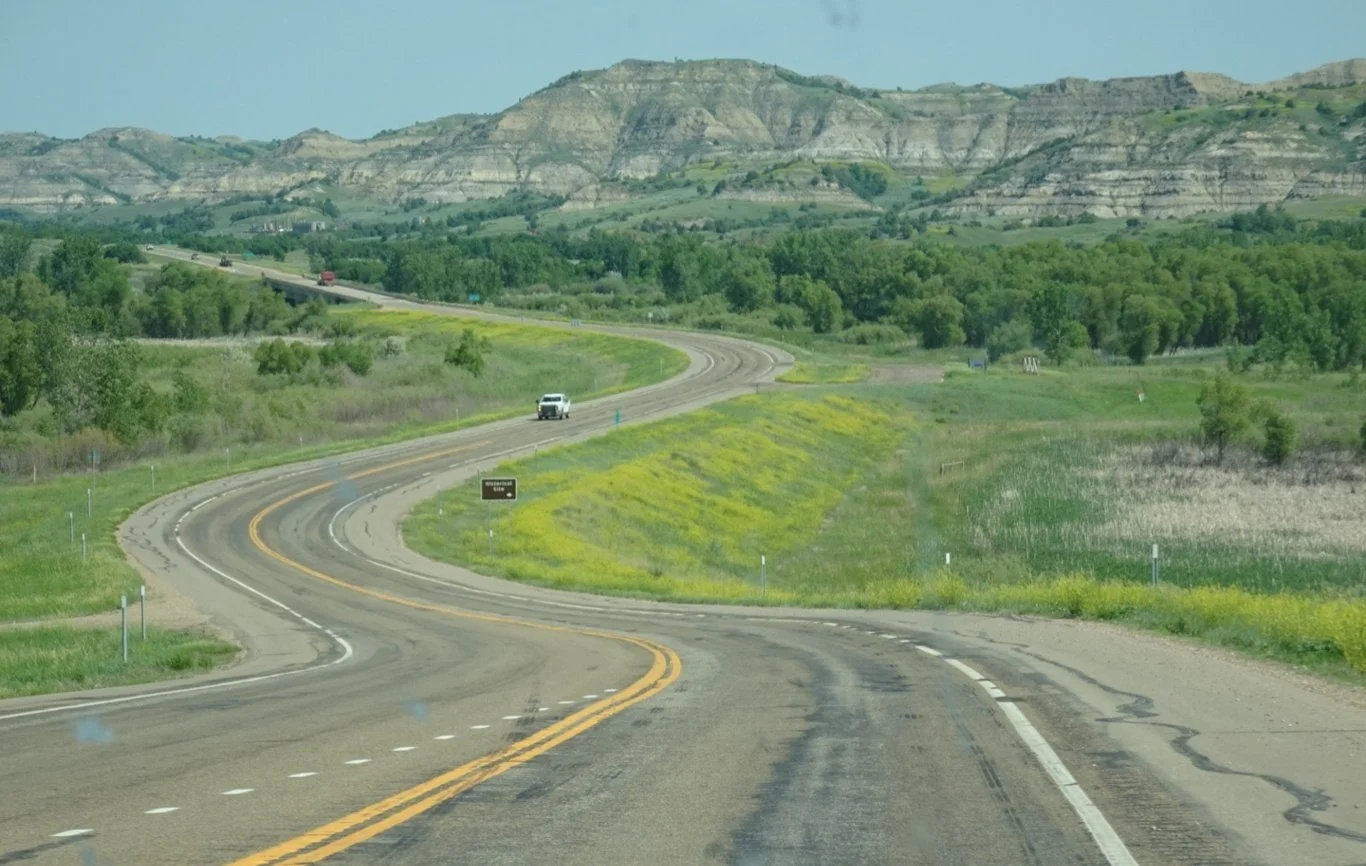
We left Dickinson behind, driving into that now familiar arable landscape with the occasional farmstead here and there. We were travelling on the ND22, labelled as a “Scenic Byway” and recommended to us by Terry in the Dickinson Tourist Office.

Before long there were added features in the scenery, in the form of nodding donkeys and oil production paraphernalia. As we drove northwards, the frequency of these oil-related installations increased and we began to notice signs, “No oil production vehicles” and the like.
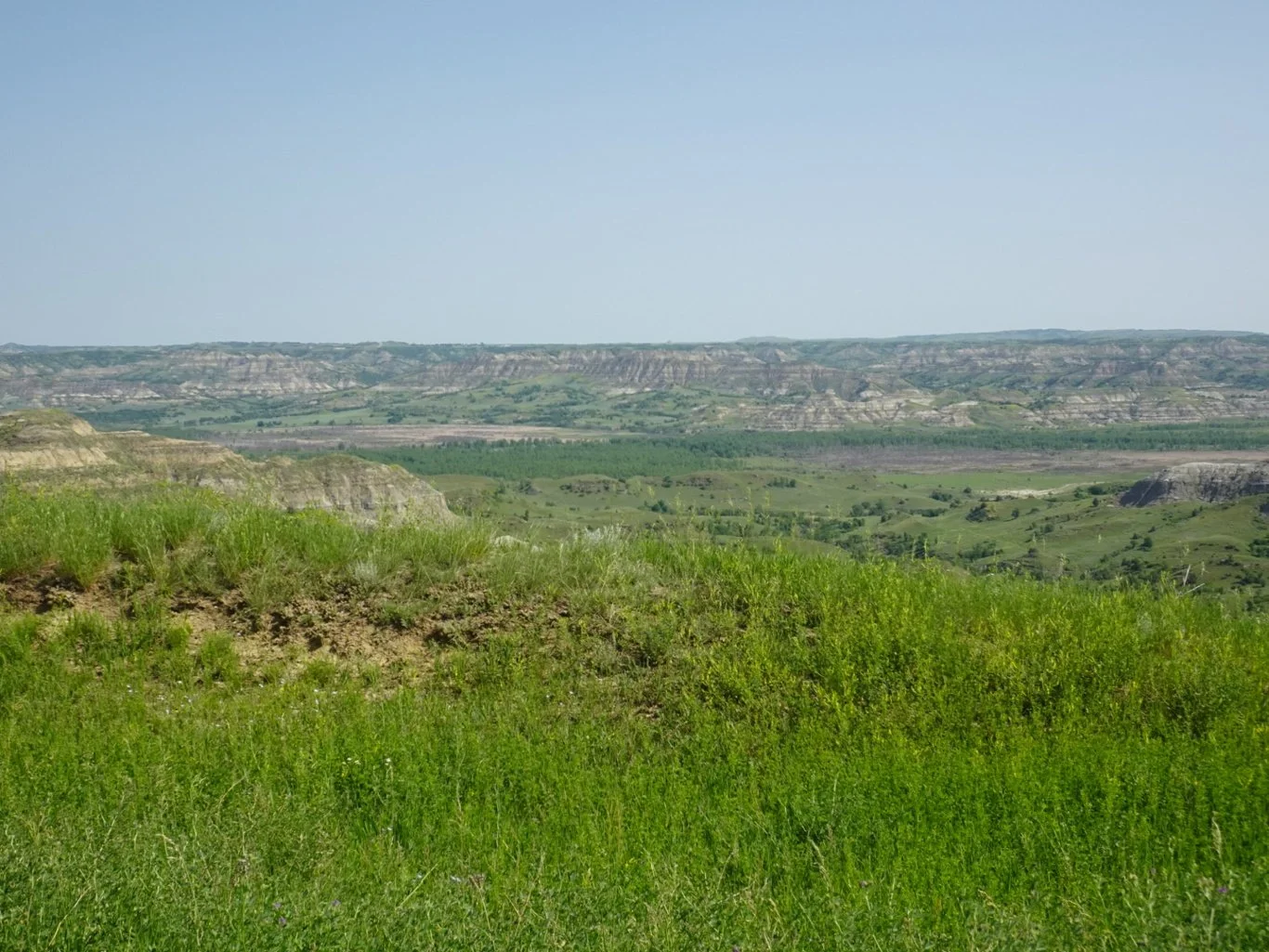
To our left, looking westwards, we could see the Badlands and the northerly reaches of the Theodore Roosevelt National Park where we’d been yesterday.
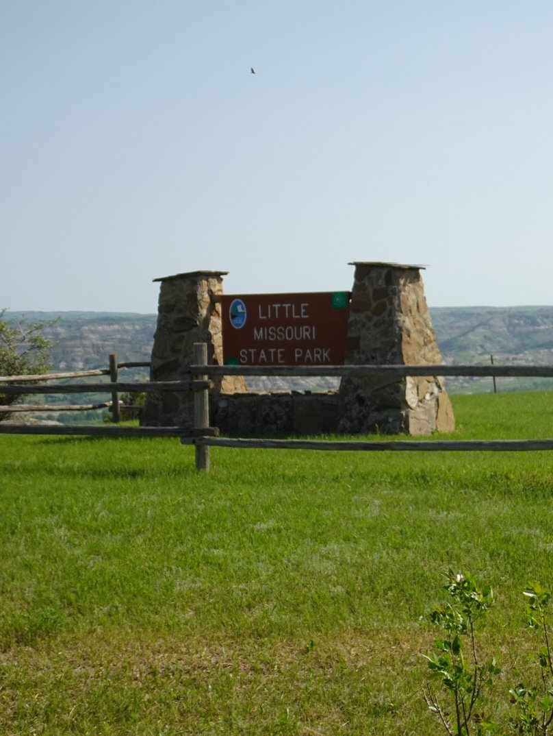
Soon, we came upon the first marker on our map and a sign pointing east to the Little Missouri State Park.
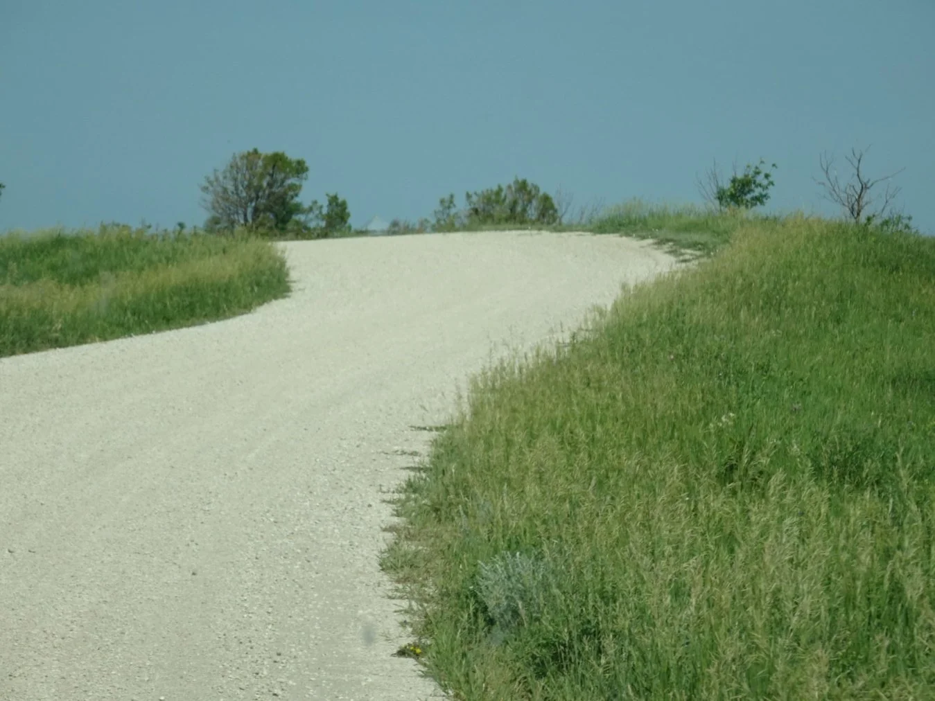
We were ready for a short break so turned off onto this unmade road and hoped for the best.
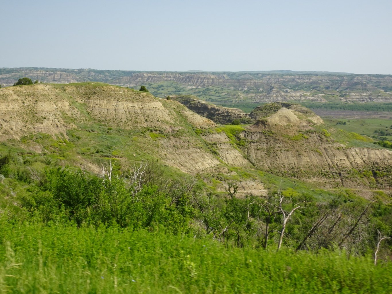
The scenery that suddenly came into view made squeezing past a couple of huge RVs worthwhile - the Little Missouri river canyon was spectacular.
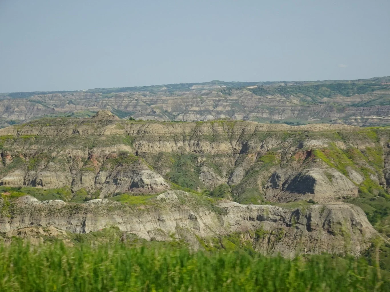
We continued down the road as far as a campsite, which explained where the RVs had come from and provided us with somewhere to turn around and get a second look at the views on the way back.
Continuing along the ND22, it wasn’t so long before we came across the next star on our map but somewhere along the way, we noticed the clock on our SatNav changed again. We were back in Central time!
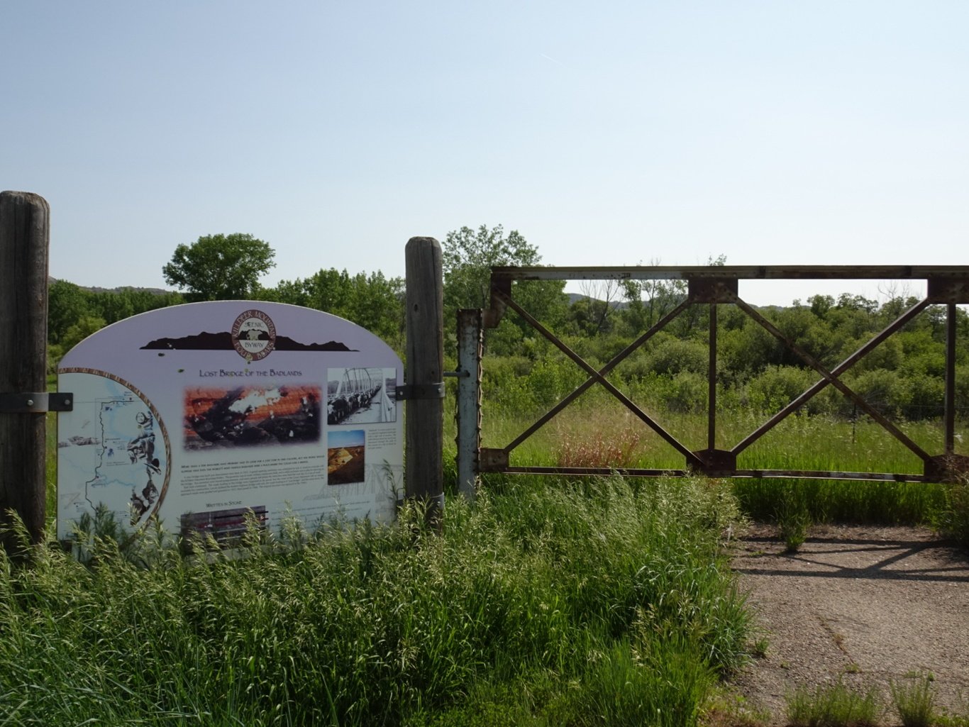
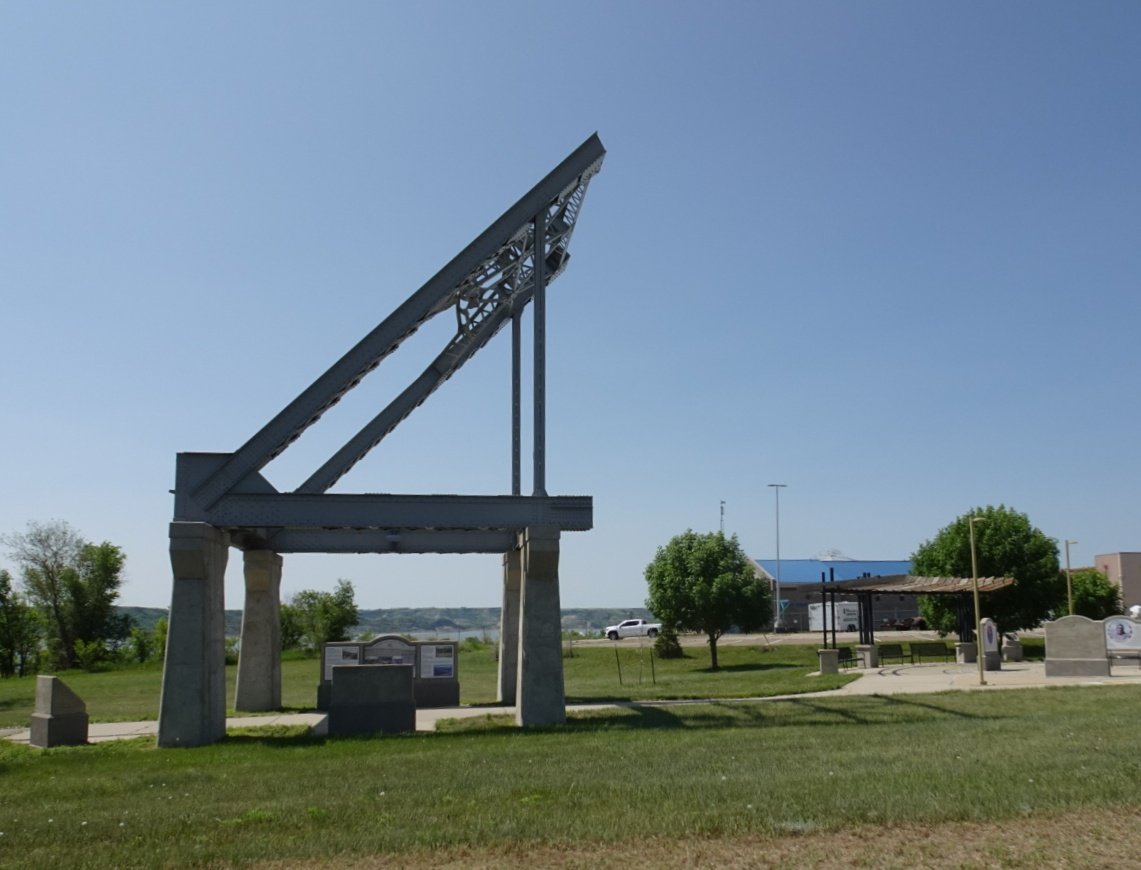
The story of the Lost Bridge of the Badlands was there on the bullet-holed information board at the site. Hmm. OK…moving right along then!
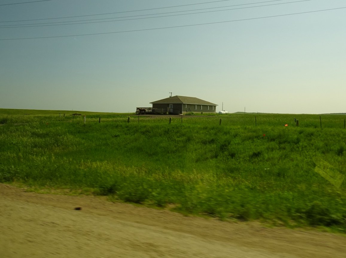
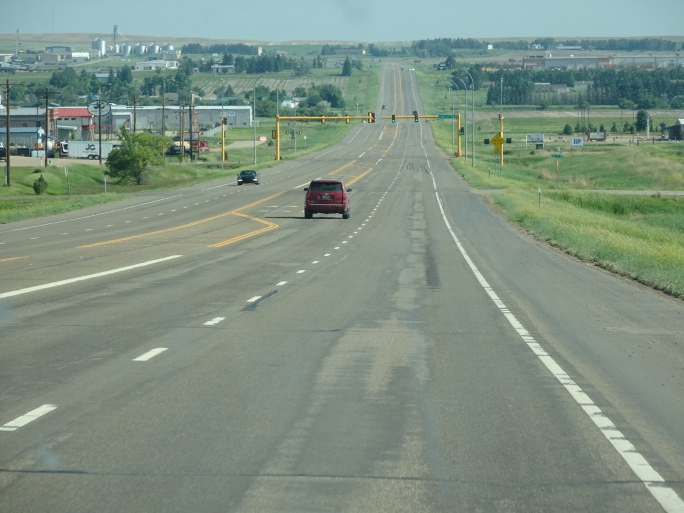
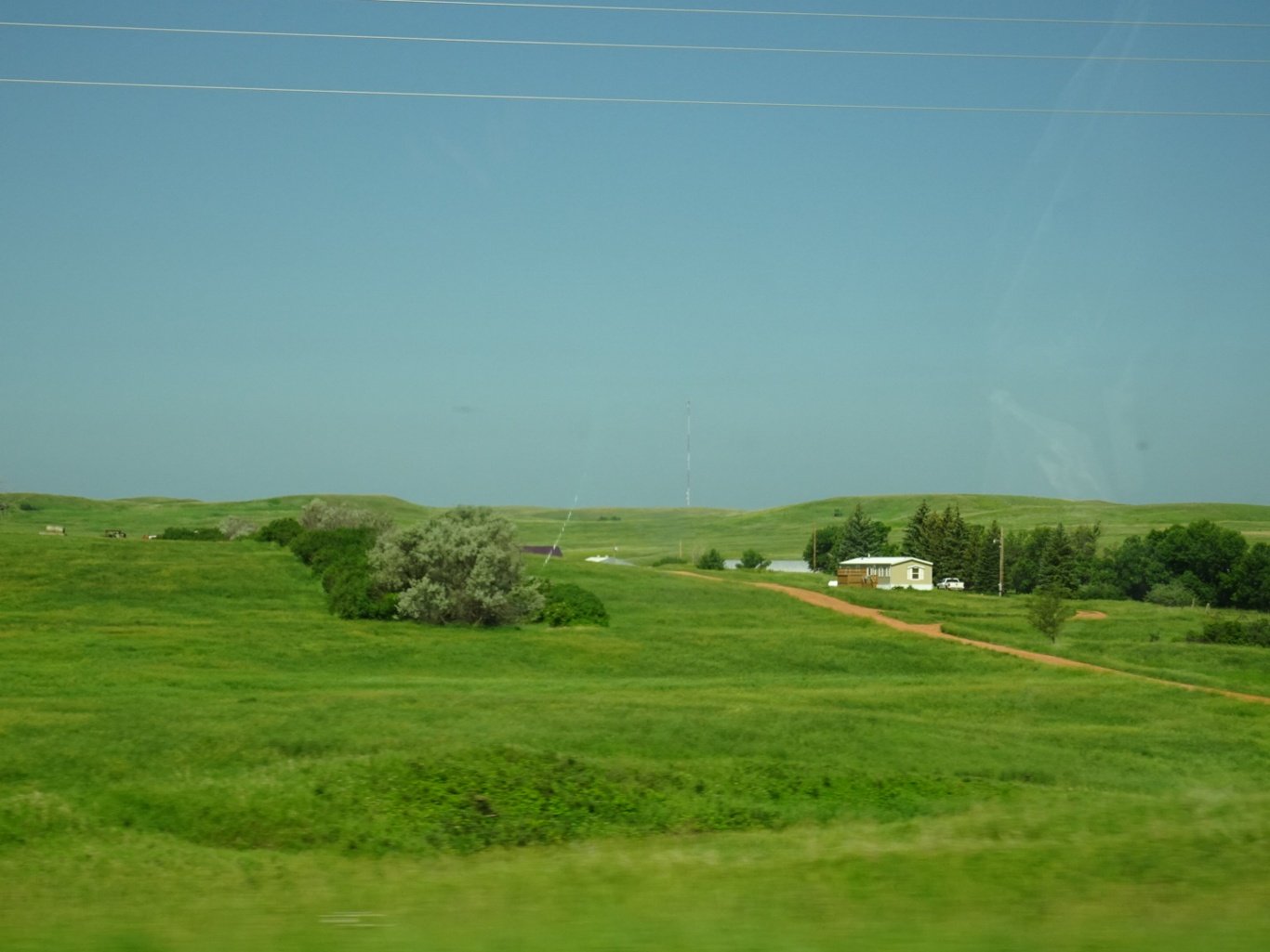
We had a couple more stars on our map and hoped to visit an Interpretive Centre about the Three Affiliated Tribes that Terry had also recommended, but it’s Sunday and it’s closed at weekends. Shame. We’d left the Little Missouri behind and were back into flat farming lands as we entered the Fort Berthold Indian Reservation and turned right onto the ND23 towards Minot (that’s Minot to rhyme with Why Not?)
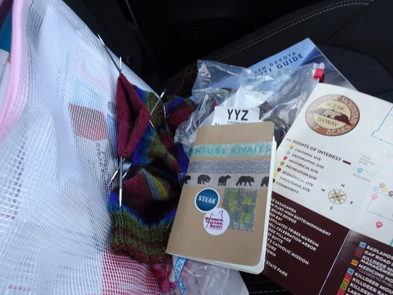
I had my road trip kit alongside in the empty seat. Notebook and pencil, map, knitting, journal kit and almost out of sight, a bag of Good and Plenty Liquorice comfits ;-) During stretches like these, the socks progress a little and I can catch up with a scribble or two in my notes.
Another part of a bridge wasn’t far ahead - beside the Four Bears Bridge was a memorial to workers killed during the construction of the new bridge in 2004.
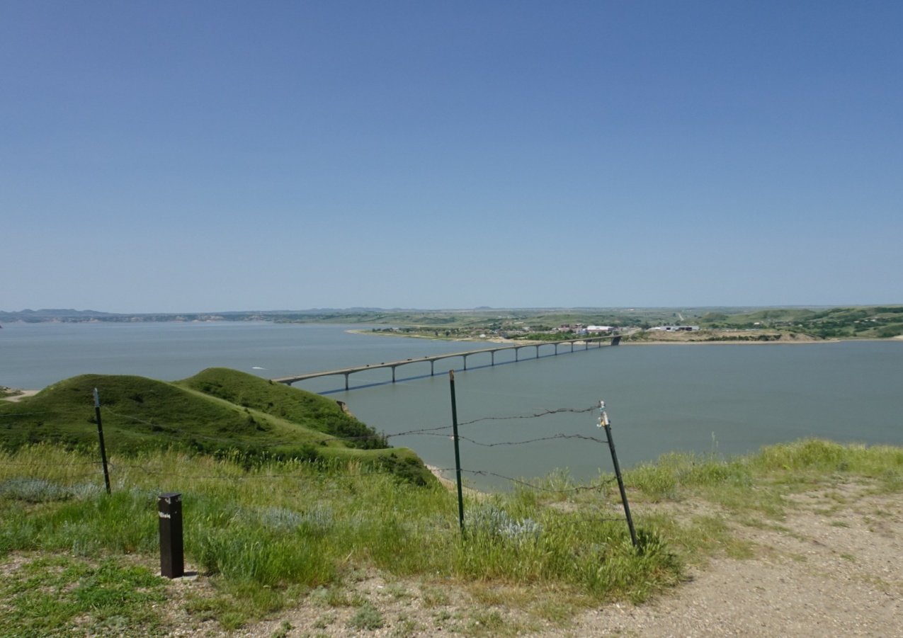
We crossed the bridge and followed the signs to a Lewis and Clark site over on the other side which had a super view of the bridge and a section of Lake Sakakawea, through which the Missouri River flows. This place is called Crow Flies High Butte after the Hidatsa chief of that name.
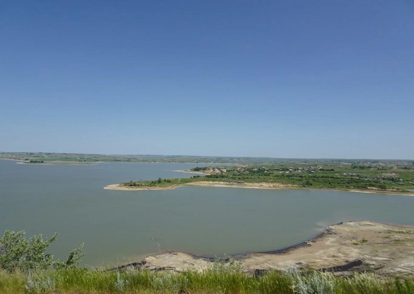
The views were spectacular from here, especially on such a lovely morning, and we took our time to look around and take it all in.
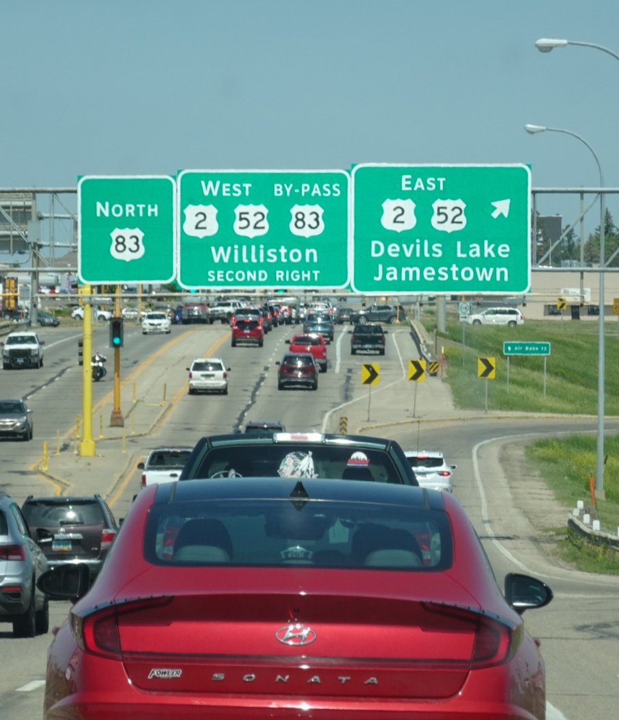
From there, it was a straight run into Minot, crossing the Laurentian Divide once again and encountering Sunday afternoon traffic, which was a little busier than we’ve been used to recently. We were heading for the Scandinavian Heritage Park, where we’d find the Tourist Information office too.
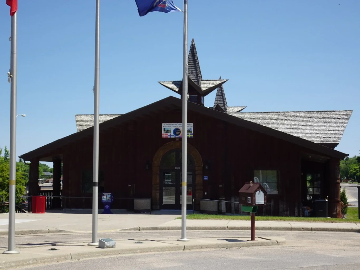
We hopped out of the car pretty quickly, heading right over to the first building and hoping for a loo! But it wasn’t to be.

Oh.
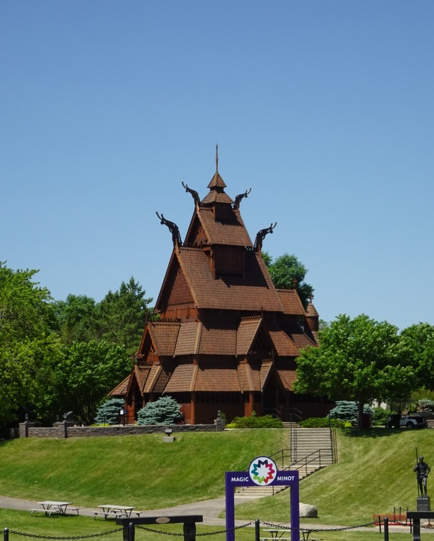
We thought we’d go and take a look at the Stave church regardless. We’d visited the smaller one in Moorhead when we were in Fargo a few days ago and quite fancied seeing this taller, larger variation.
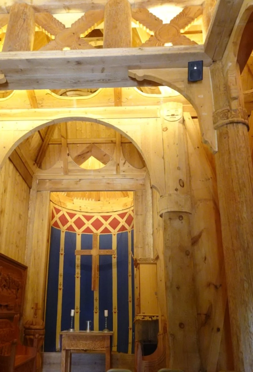
Thankfully, it was open and we were able to take a look around inside.
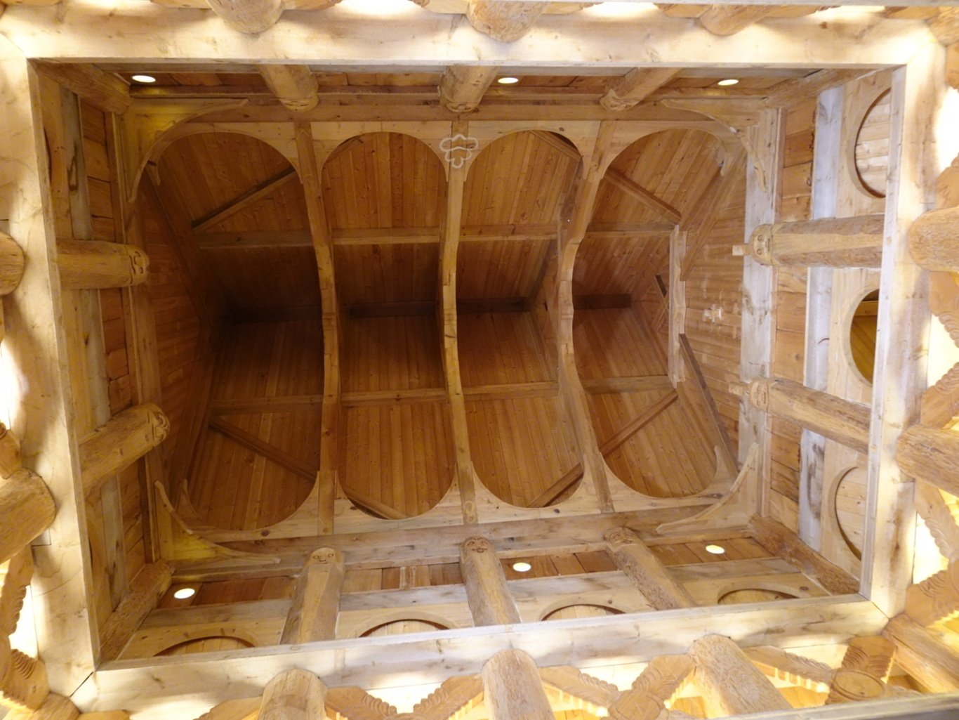
It was indeed taller - much taller - than the previous stave church we saw, though the design was pretty similar.
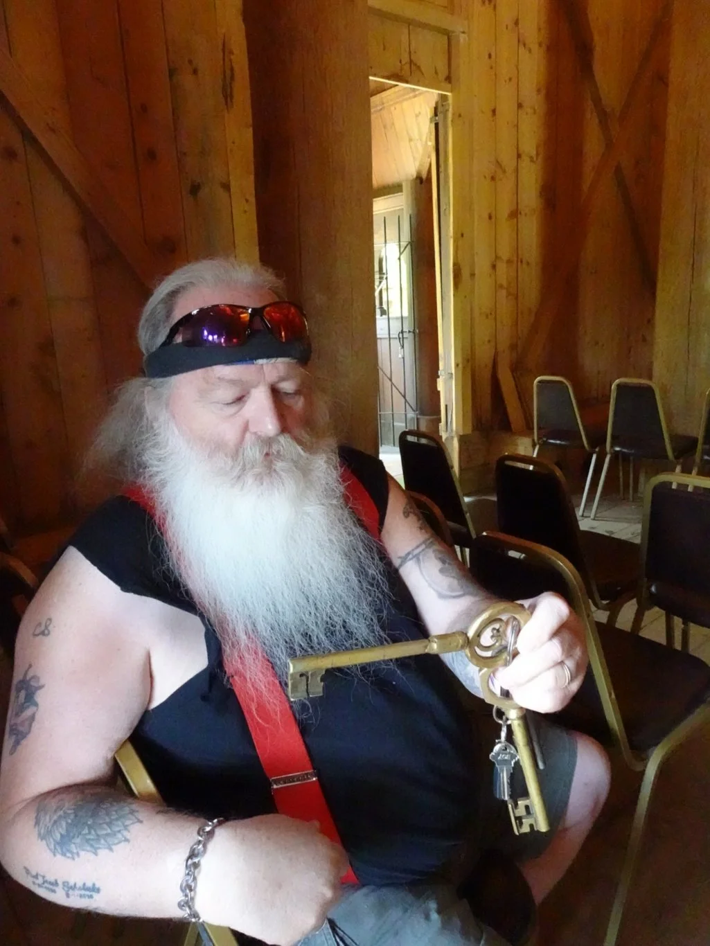
As I admired the huge hinge on the door, the gentleman taking care of the church pulled out a set of keys and turned the lock with the largest one. It didn’t look easy.
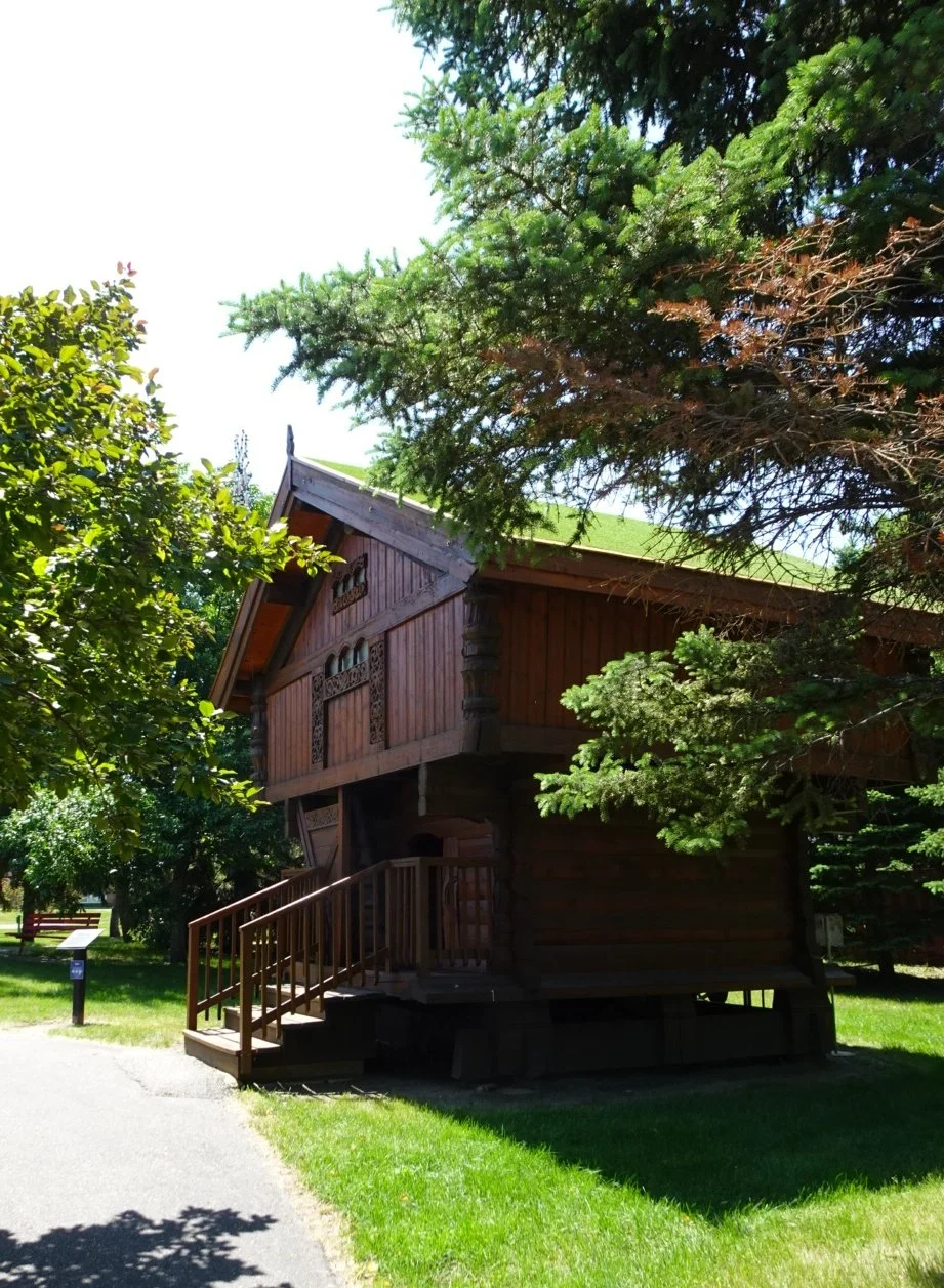
The other large key was for the storehouse; the building over the way just across from the loos (hooray!)
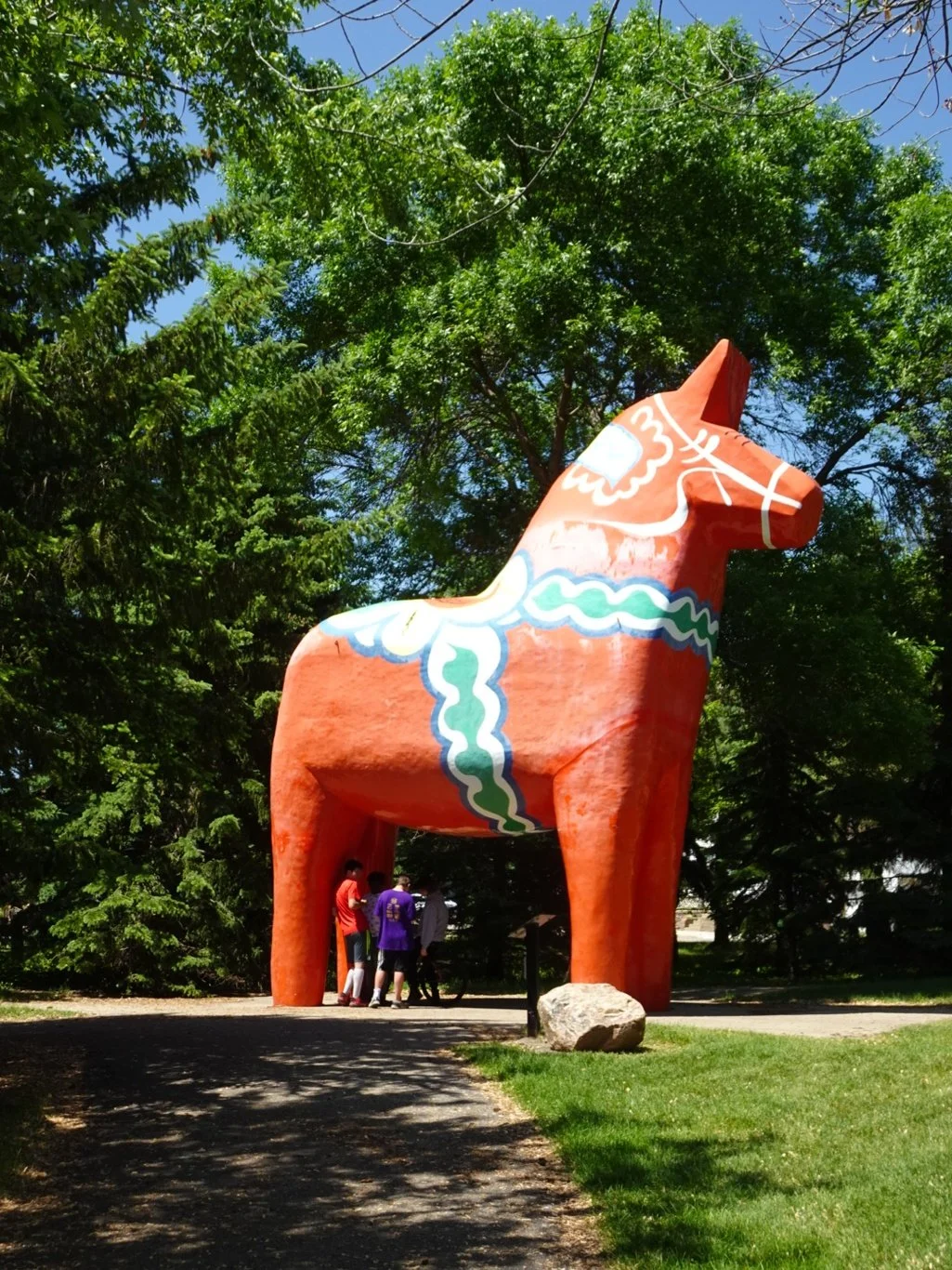
A look at the huge Dala Horse and we were done. We jumped back into the car and looked at the time. It was still a little early to check into out hotel so what better thing to do on a Sunday afternoon but to go shopping? Our last chance to get any American bits and pieces, of course.
Tomorrow, we’ll cross back into Canada and Mountain Time once more. I think we’ll stay on this side of the divide for now though.